-
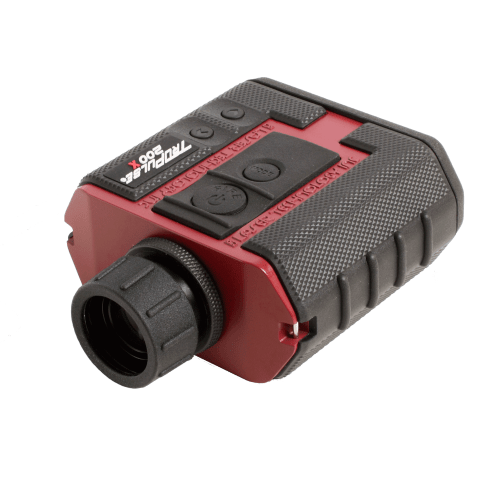
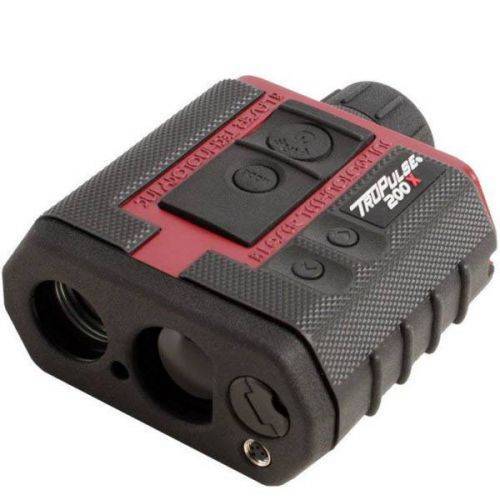 The TruPulse 200X laser rangefinder was designed to make high precision measurements for professionals working in challenging field conditions. The 200X provides an in-scope LED display that easily adjusts to varying light conditions, with its advanced inclination and distance accuracy, makes this laser rangefinder the most progressive product in the TruPulse Series line. Contact your local Mapping GIS Sales Professional for a demonstration and full details.
 -
The Trimble® TDC6 data collector is a powerful, versatile and cost-effective field data collection solution for surveying and mapping professionals. Use the TDC6 standalone as a GIS data collector, paired with a GNSS receiver or as an onboard total station controller.
-
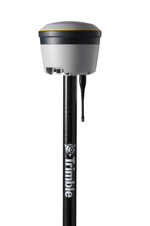
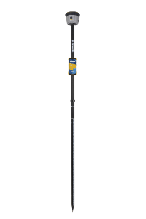
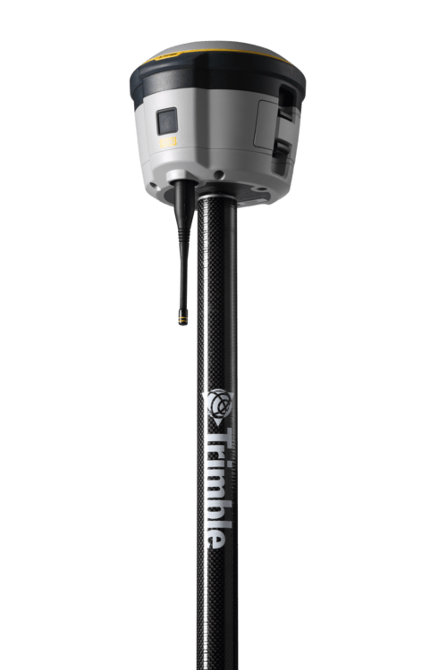 Proven reliable positioning
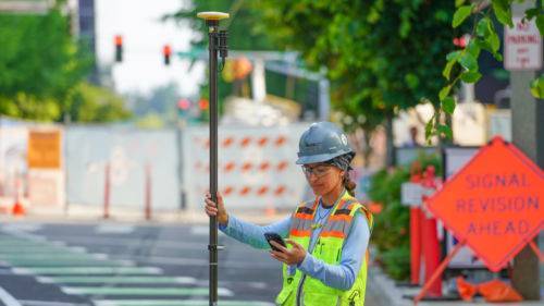
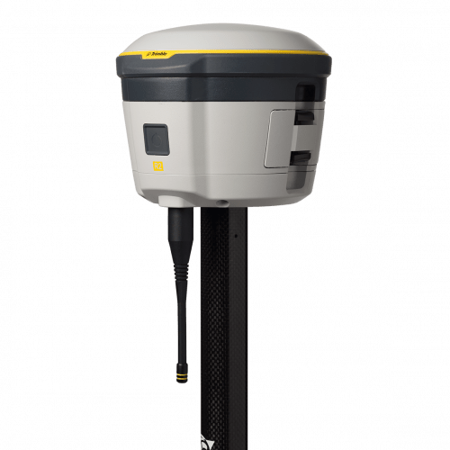
Depend on the Trimble® R580 GNSS system to keep you working with survey precision. Powered by the industry-leading Trimble ProPoint® GNSS engine, this everyday integrated receiver delivers greater productivity and reliable accuracy in more places.
Benefits and performance
With increased accuracy and reliability in difficult urban and rural environments, the Trimble R580 optimizes productivity using powerful GNSS technologies for maximum results.Productivity maximized
The Trimble R580 harnesses Trimble ProPoint technology so you can survey with precision in difficult places, boosting field work productivity like never before.Trimble dependability
With proven technology to guard against anti-spoofing and multipath issues, the dependable R580 provides confidence for every measurement and point you capture. -
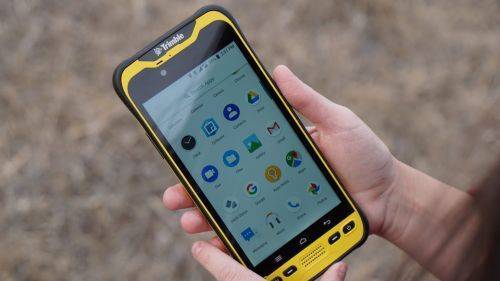
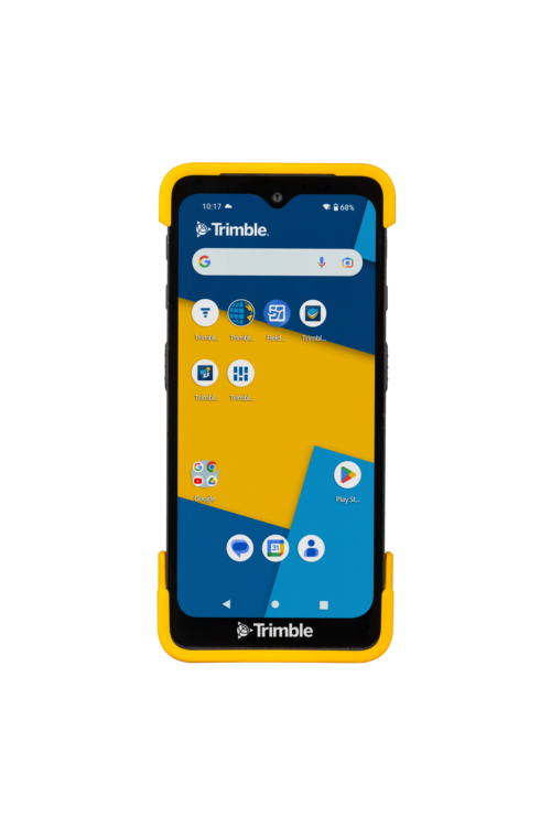
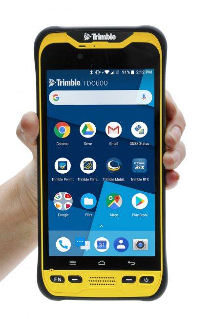 The Trimble® TDC600 GNSS Handheld Data Collector is a sleek, all-in-one rugged smartphone with a built-in professional GNSS receiver. Designed for ease-of-use in a wide range of GIS applications, the TDC600 helps you collect and retrieve highly accurate spatial information while staying in touch with the office—all with a single device. It’s the smart, productive way to collect data and communicate from the field. Contact your local Mapping GIS Sales Professional for a demonstration and full details. Customer FAQ's
 -
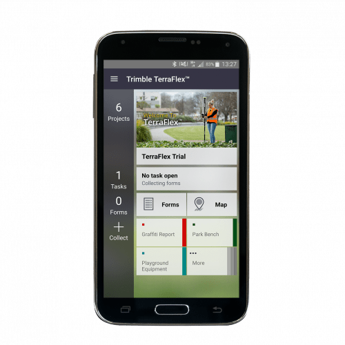
 Trimble® TerraFlex™ is a flexible and easy-to-use cloud-based solution for field data collection that enables you to capture standardized, consistent data on your Android device. Add Trimble Catalyst to your TerraFlex field workflows to access high accuracy positions when and where you need them, using only a lightweight antenna that plugs into your Android smartphone. Contact your local Seiler GIS professional for details or purchase your TerraFlex software solution here.
 -
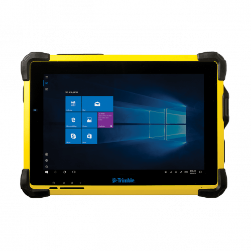 The Trimble® T10 tablet brings the advantages of fast computing power and a large screen to the field. Combined with integrated GNSS capabilities, the T10 is a powerful, rugged device created for survey fieldwork, mapping, and GIS data collection and at the same time supports demanding desktop applications.
 -
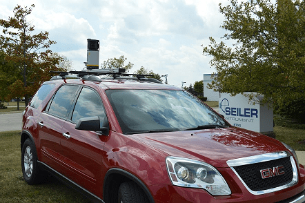
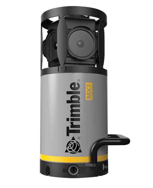 Contact us for details and special pricing! This demonstration unit has full warranty on hardware! The Trimble MX7 is a vehicle-mounted photogrammetric system equipped with six, 5 megapixel cameras, and Trimble Applanix GNSS and inertial geo-referencing modules. The Trimble MX7 can be deployed on vehicles of all sizes, letting you capture 30 MP geo-referenced images at highway speeds.
 -
 The Trimble DA2 GNSS receiver is the next generation receiver for the Trimble® Catalyst™ GNSS positioning service. The DA2's performance scales with your Trimble Catalyst service subscription to deliver anywhere from centimeter to sub-meter precision to location-enabled Android™ and iOS field apps & workflows. Order or learn more here about Catalyst.
 -
 The Trimble® R2 is a compact, durable GNSS receiver that provides an easy-to-use solution for GIS and survey professionals who need to collect highly accurate data in a wide range of geospatial applications.
 -
 Trimble® TerraFlex™ is a flexible and easy-to-use cloud-based solution for field data collection that enables you to capture standardized, consistent data on your Android device. Add Trimble Catalyst to your TerraFlex field workflows to access high accuracy positions when and where you need them, using only a lightweight antenna that plugs into your Android smartphone. Contact your local Seiler GIS professional for details or purchase your TerraFlex software subscription here.
 -
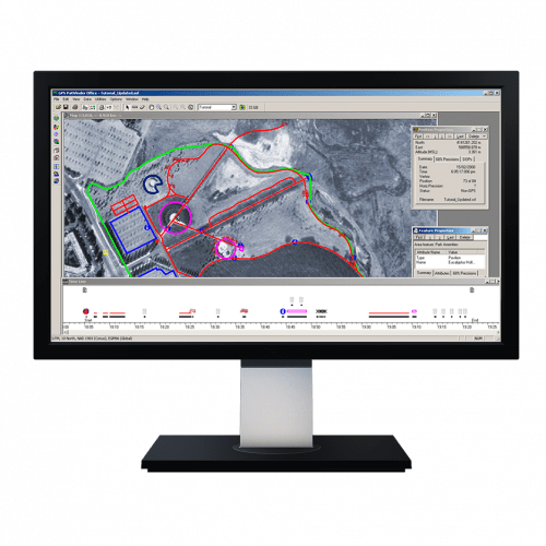 Powerful and easy to use GNSS/GPS data processing software.
