
Efficiently edit, process, and adjust geospatial data and create deliverables with confidence.?Trimble Business ...
Trimble
Field-to-finish survey CAD Software.
We offer a comprehensive suite of software solutions tailored to meet the diverse needs of professionals in surveying, mapping, and GIS applications. Our offerings include powerful Trimble software for both field and office environments, enabling users to accurately process, model, and analyze captured data. Additionally, we provide Autodesk solutions through our Design Solutions division, offering specialized BIM and CAD tools powered by personalized customer service. By integrating these advanced software solutions into your workflows, you can enhance efficiency, accuracy, and productivity in your geospatial projects.
Sort By
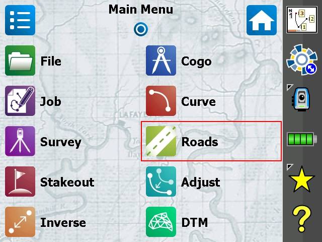
Trimble
Field-to-finish survey CAD Software.
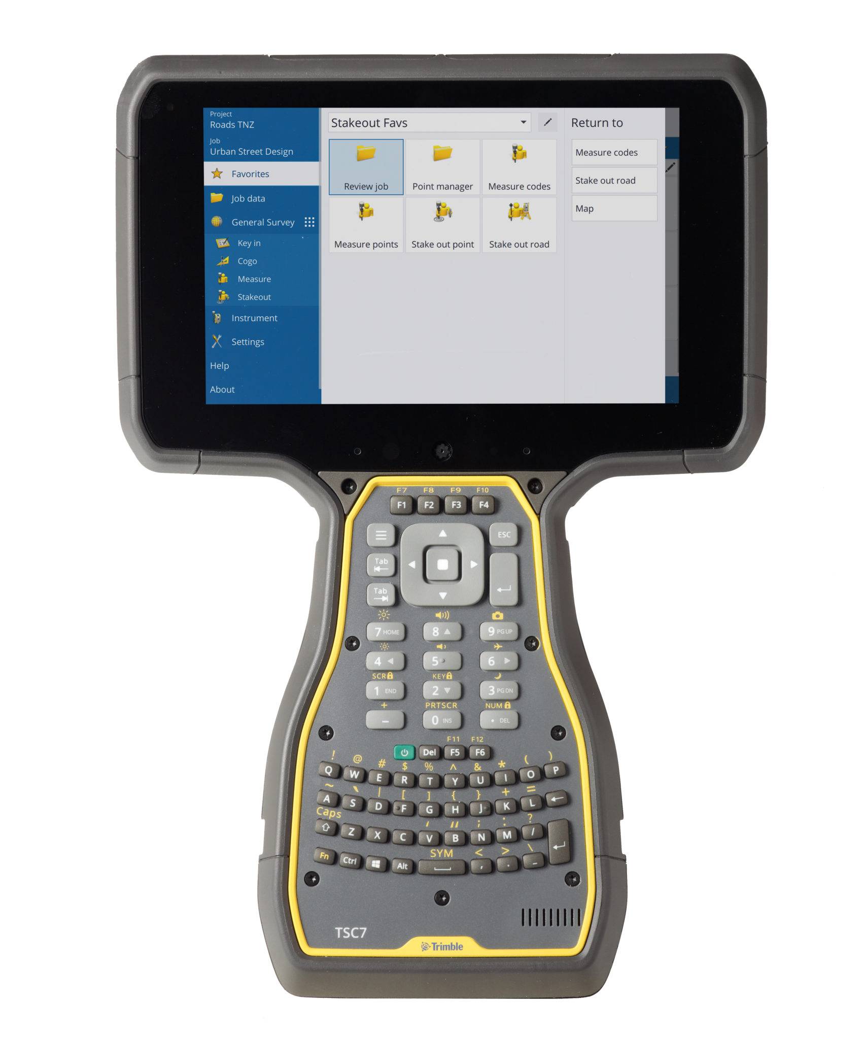
Trimble
The world leading field software for professional surveyors.
Spectra Geospatial
Fast and reliable software for efficient and easy-to-use survey project management.
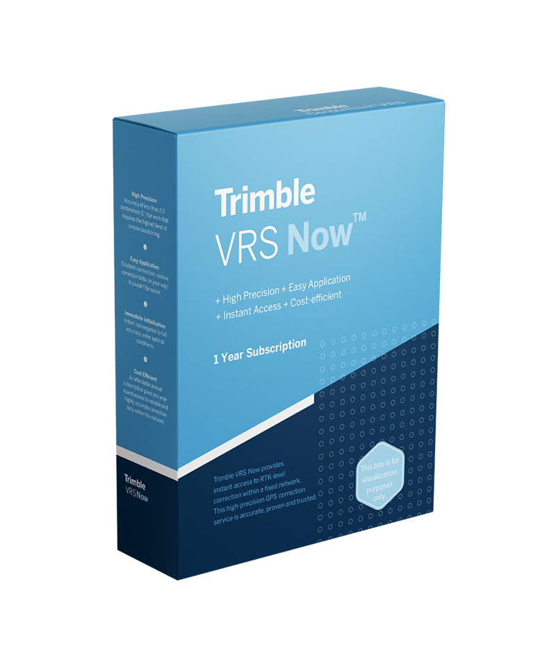
Trimble
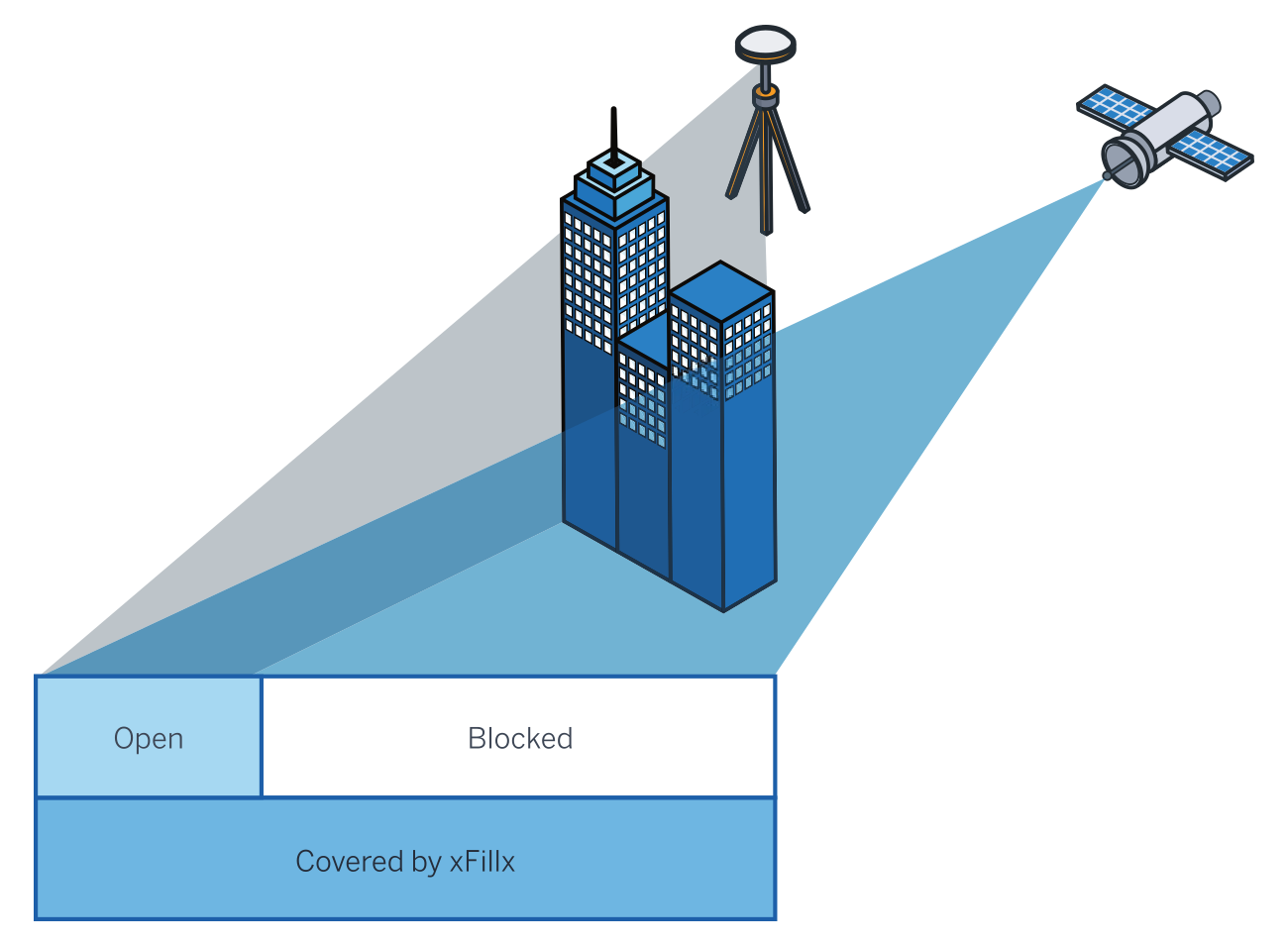
Reduce workflow complexity and complement your traditional RTK solutions.
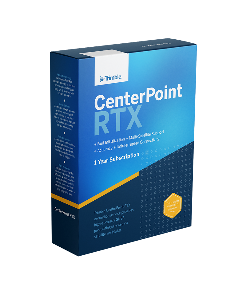
Trimble
Proven, cost-effective Trimble-operated correction service.
Trimble
Seamless centimeter-level backup corrections.
From: $57.20 / month
Trimble
Trimble GNSS positioning service - subscription based
$145.00
Trimble
Trimble GNSS positioning service - one time purchase
Esri
Esri’s cloud environment, where Seiler builds all of the databases and apps for our clients.
Esri
Desktop software for GIS Analysts, developers, and everyday users.
Esri
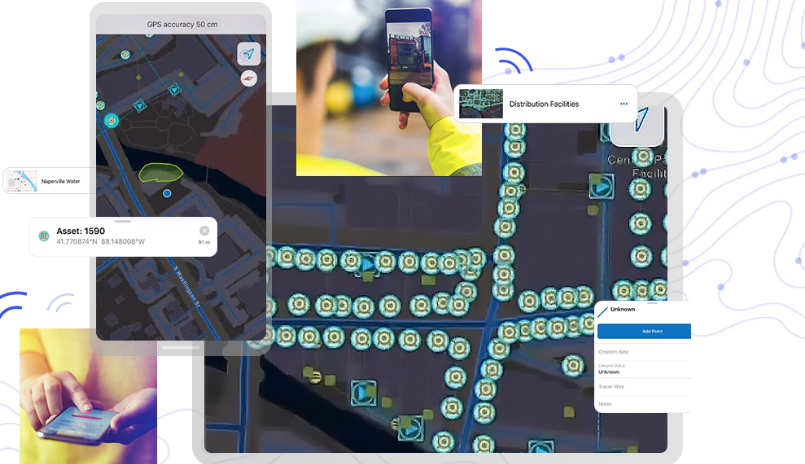
Mobile data collection app that is integrated with Trimble hardware solutions
Esri
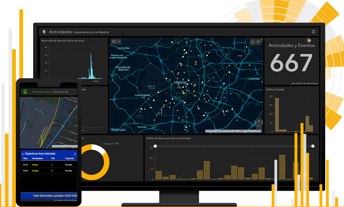
Map with dashboard capabilities for viewing data analytics. Created for users that need administrative views of data, project status, etc.
Experience the future of surveying with our state-of-the-art products designed to boost accuracy and efficiency on every project. From advanced GNSS systems and robotic total stations to powerful software solutions like Trimble Access and Trimble Business Center, we offer the tools you need to excel. Don’t just take our word for it—see the difference for yourself. Request a demo today and discover how our innovative technologies can transform your surveying capabilities.
"*" indicates required fields