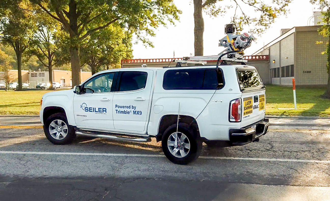
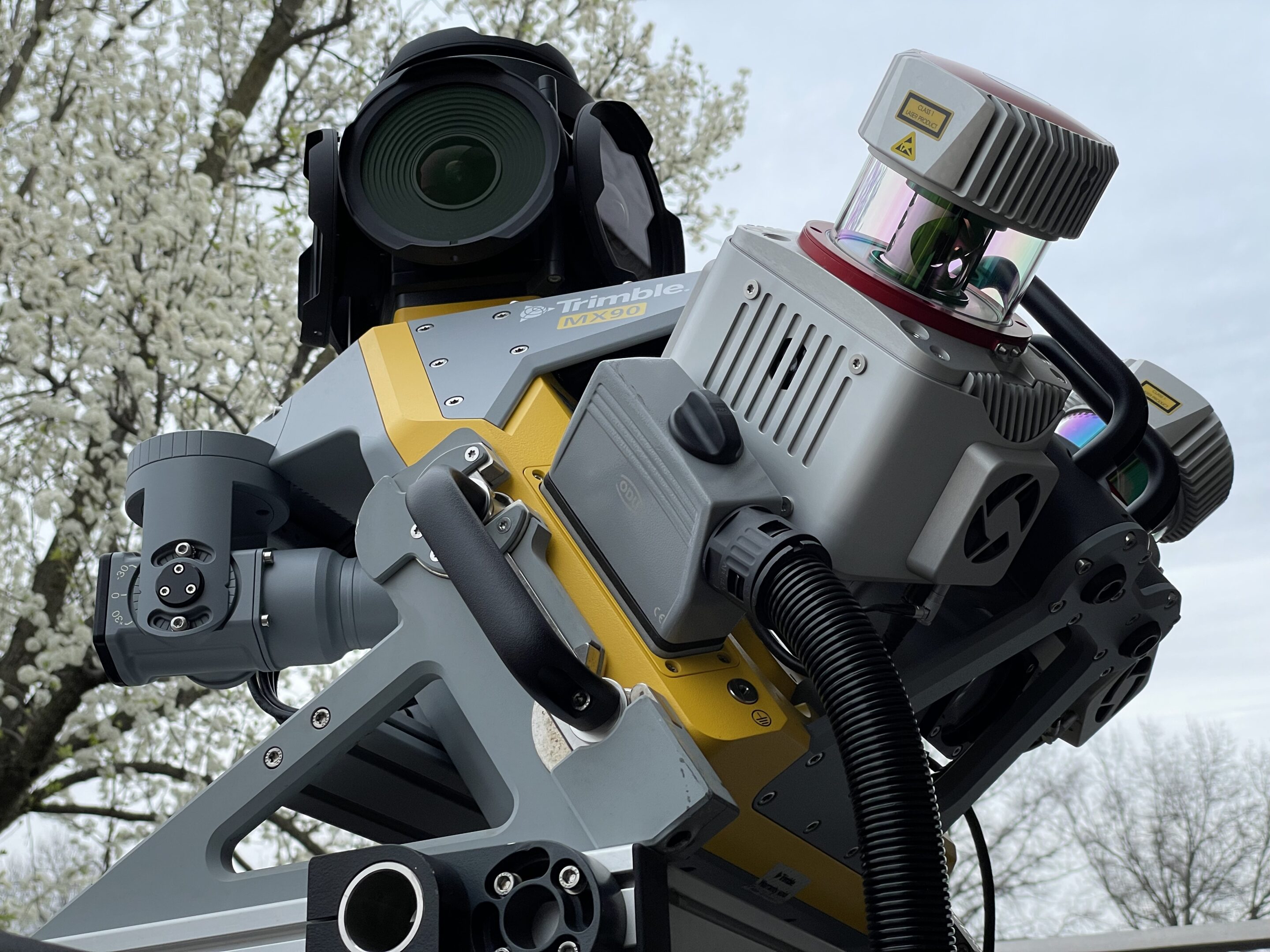
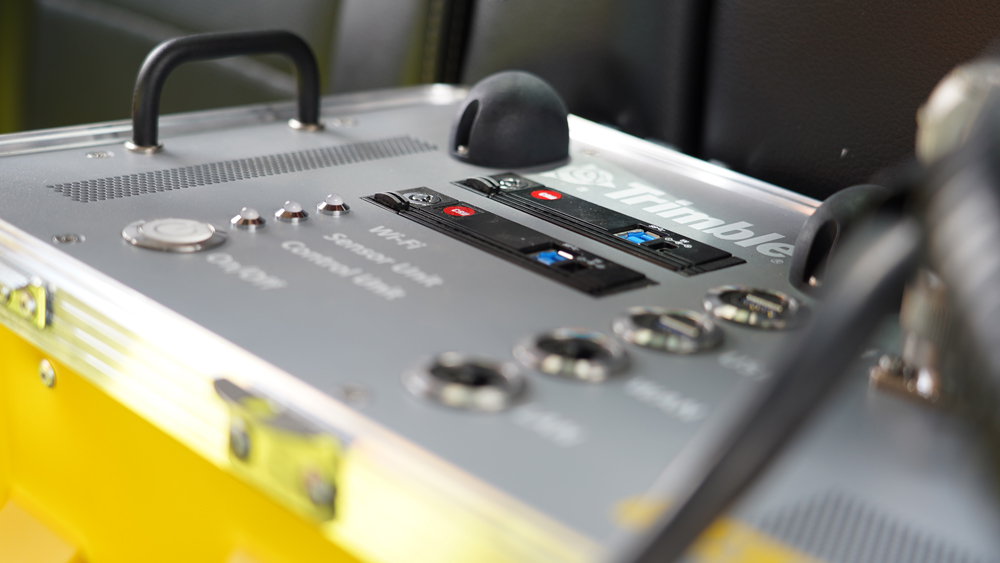
Seiler offers a variety of ground level mobile mapping solutions. This includes Trimble’s state-of-the-art MX Series. The Trimble MX9 and Trimble MX50, vehicle-mounted mobile lidar systems, allow for the collection of rich corridor data at highway speeds. The Trimble MX7 captures 360-degree panoramas to map bridges, highways, and roads with ease. As the only Trimble Authorized Service Center for this new series, Seiler Geospatial will keep you on the road.

Ask us about our Customer Assistance Rental Experience (C.A.R.E.) for our Mobile Mapping Systems and contact us to schedule a demonstration.

The Trimble MX9 – The MX9 mounts on top of a vehicle and rapidly captures dense point clouds and images both panoramic and multi-angle. Rich corridor data can be collected at highway speeds, significantly improving data collection on busy highways and avoiding costly lane closures. Datasheet MX9_DS_LR The MX9 combines a vehicle-mounted mobile lidar system, multi-camera imaging and field software for efficient, precise and high-volume data capture, delivering up to 2 million points /second. The end result is data of unrivaled accuracy, density and repeatability. The MX9 weighs just 37kg and can be easily mounted on a range of vehicles in less than 12 minutes. Operation is through intuitive browser-based field software, accessible via most tablets or any notebook.

The Trimble MX50 – The Trimble® MX50 is a practical field-to-finish mobile mapping solution for asset management, mapping, and road maintenance. The system delivers a very accurate point cloud of the environment along with complementary immersive imagery providing substantial gains in productivity. Whether for highway management, utilities, or local government the Trimble MX50 puts you in control of your data capture project. The system does not require specific expertise and is simple to install and operate.

The Trimble MX7 Mobile Mapping system. A fast and cost-effective way to manage assets. Application use has many industry options for mining and construction monitoring, utilities, electrical and pipeline management and inventory tracking for local government. The MX7 comes with (6) five-megapixel cameras, has a GNSS inertial referencing system, captures 360-degree panoramas with 30 megapixels at highway speeds and can process data fast. The MX7 makes any challenging project easy to map such as; bridges, highways, roads, power stations, corridor mapping, site inspections, inventory/asset data collection and more. Contact our mapping gis staff to schedule a demonstration or rental inquiry.