
-
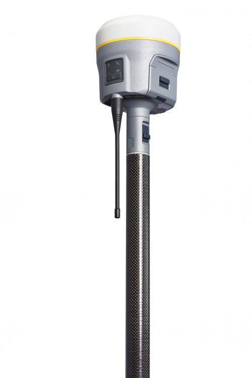 Precise, powerful, game-changing technology in an ergonomic design for easier and more comfortable handling. All-new Trimble ProPoint GNSS engine allows surveyors to push the boundaries of GNSS performance, with at least 30 percent† improved performance in challenging GNSS environments*. How? Flexible signal management enables the use of all available GNSS constellations and signals, resulting in higher satellite availability.
 -
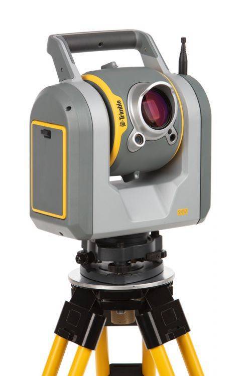
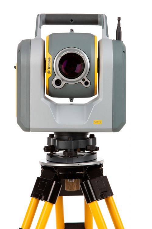
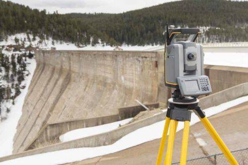
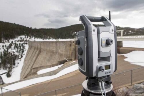
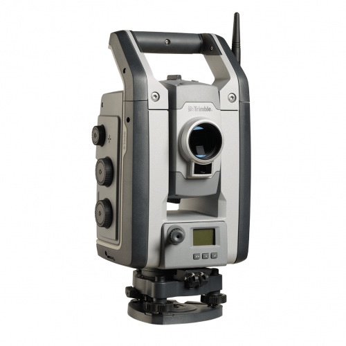
The Trimble SX12 Scanning Total Station merges high-speed 3D scanning, precision total station measurement, enhanced Trimble Vision and a green focusable laser pointer.
Note: Elevate Your Workflow to the Trimble SX12! Contact your Local Sales Professional Here to find out more about our exclusive trade-in details. Offer expires June 30th, 2024! Extended Capabilities; Do more when it matters the most. New green, eyesafe, focusable laser pointer yields the smallest spot size in the industry (just 3 mm at 50 m), so you can work from longer range and stay safe. The SX12 with Wi-Fi HaLow is the latest configuration See FAQ's here. The SX12 also comes in two configurations (with or without green laser) - Contact us for details. -
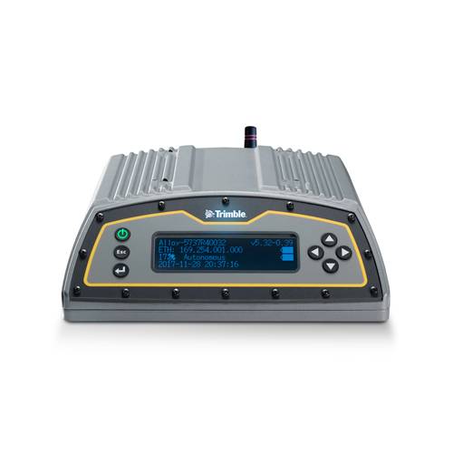 The Trimble Alloy™ reference receiver is ready to take on the requirements of any real-time network, in any environment, anywhere in the World. With tough IP68 housing, and modernized satellite tracking Trimble Alloy receiver can also be used as a campaign receiver for post-processing, as a Continuously Operating Reference Station (CORS) receiver or portable base station for Real-time Kinematic (RTK) applications – and even as a scientific reference station.
 -
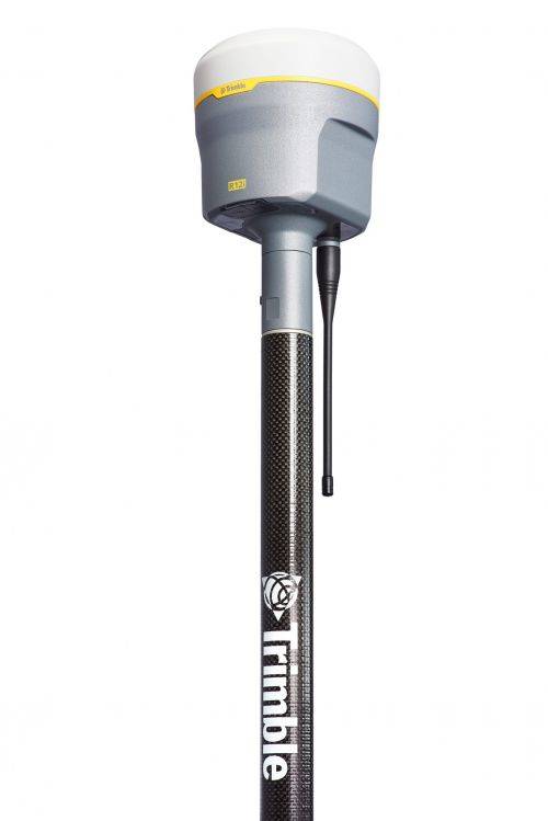
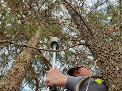
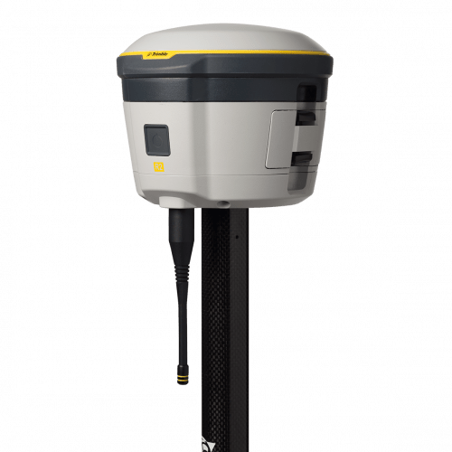
Trimble® R12i with Trimble ProPoint™ GNSS technology and new Trimble TIP™ tilt compensation
The R12i delivers unmatched GNSS performance, speed and accuracy to boost your productivity like never before. With improved performance in challenging GNSS conditions and robust IMU-based tilt compensation that lets you forget about leveling the pole, you'll get more done faster than you thought possible. Get the FAQs here! -
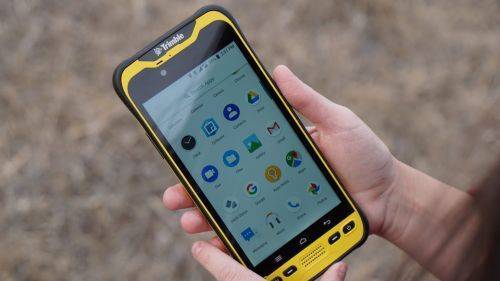
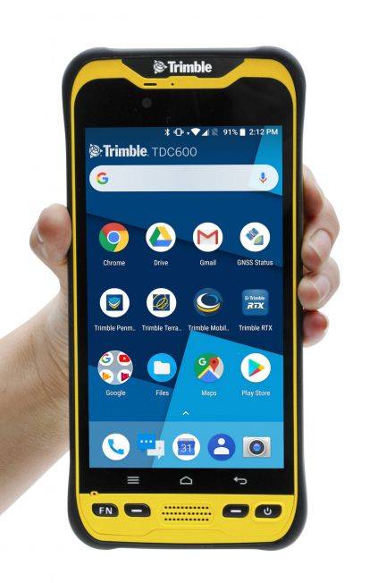 The Trimble® TDC600 GNSS Handheld Data Collector is a sleek, all-in-one rugged smartphone with a built-in professional GNSS receiver. Designed for ease-of-use in a wide range of GIS applications, the TDC600 helps you collect and retrieve highly accurate spatial information while staying in touch with the office—all with a single device. It’s the smart, productive way to collect data and communicate from the field. Contact your local Mapping GIS Sales Professional for a demonstration and full details. Customer FAQ's
 -
 The Trimble® S7 Total Station combines scanning, imaging and surveying into one powerful solution.
- Surveying, imaging and 3D scanning in one powerful solution
- Improved Trimble VISION technology for video robotic control, scene documentation and photogrammetric measurements
- Trimble DR Plus for long range and superior accuracy
- Complete field-to-office solution for quick data capture and processing
- Seamless integrated surveying with Trimble GNSS receivers
-
 The Trimble® S9 total station is a high performance robotic total station that integrates the best field technologies plus our highest level of accuracy and specialized engineering features for the ultimate in performance and precision. The Trimble S9 total station is built for specialized applications, such as monitoring and tunneling where you need a solutions with optimal speed, accuracy and reliability. Contact us to learn more or for a demonstration
 -
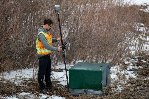
 The Trimble® R2 is a compact, durable GNSS receiver that provides an easy-to-use solution for GIS and survey professionals who need to collect highly accurate data in a wide range of geospatial applications.
 -
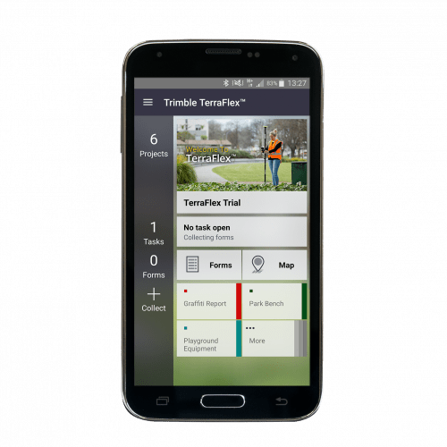 Trimble® TerraFlex™ is a flexible and easy-to-use cloud-based solution for field data collection that enables you to capture standardized, consistent data on your Android device. Add Trimble Catalyst to your TerraFlex field workflows to access high accuracy positions when and where you need them, using only a lightweight antenna that plugs into your Android smartphone. Contact your local Seiler GIS professional for details or purchase your TerraFlex software subscription here.
 -
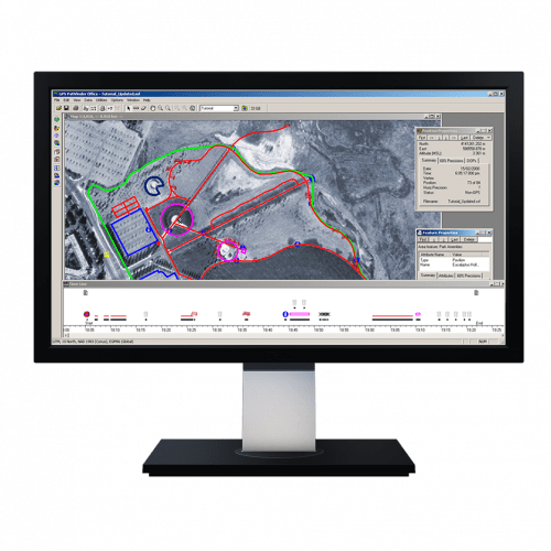 Powerful and easy to use GNSS/GPS data processing software.