
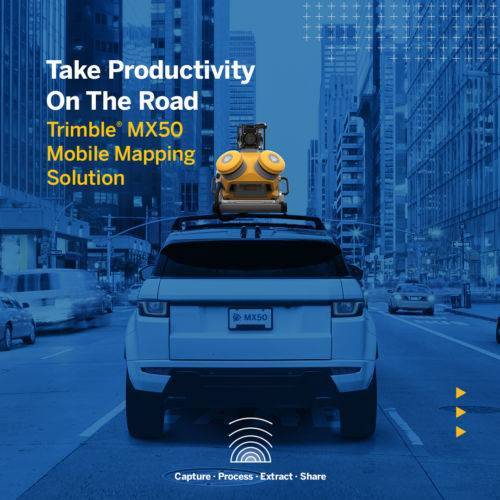
The Trimble® MX50 is a practical field-to-finish mobile mapping solution for asset management, mapping, and road maintenance. The system delivers a very accurate point cloud of the environment along with complementary immersive imagery providing substantial gains in productivity. Contact your local Survey Sales Professional for a demonstration and full details.
-
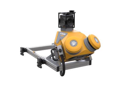
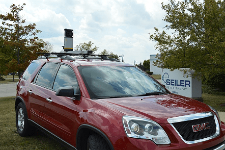
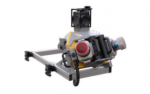 Trimble Mobile MX9 LiDAR Mapping Imaging Solution is for Large-Scale Scanning and Mapping Missions. The MX9 is a complete field-to-finish mobile mapping solution combining state-of-the-art, advanced hardware with intuitive field software and a reliable, efficient office software workflow. Contact your local Survey Sales Professional for a demonstration and full details.
 -
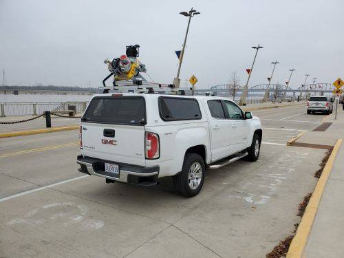
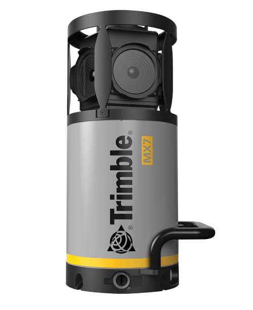 Contact us for details and special pricing! This demonstration unit has full warranty on hardware! The Trimble MX7 is a vehicle-mounted photogrammetric system equipped with six, 5 megapixel cameras, and Trimble Applanix GNSS and inertial geo-referencing modules. The Trimble MX7 can be deployed on vehicles of all sizes, letting you capture 30 MP geo-referenced images at highway speeds.