-
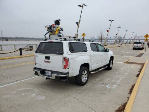
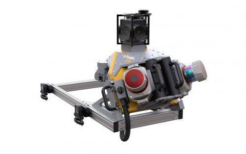 Trimble Mobile MX9 LiDAR Mapping Imaging Solution is for Large-Scale Scanning and Mapping Missions. The MX9 is a complete field-to-finish mobile mapping solution combining state-of-the-art, advanced hardware with intuitive field software and a reliable, efficient office software workflow. Contact your local Survey Sales Professional for a demonstration and full details.
