Surveying

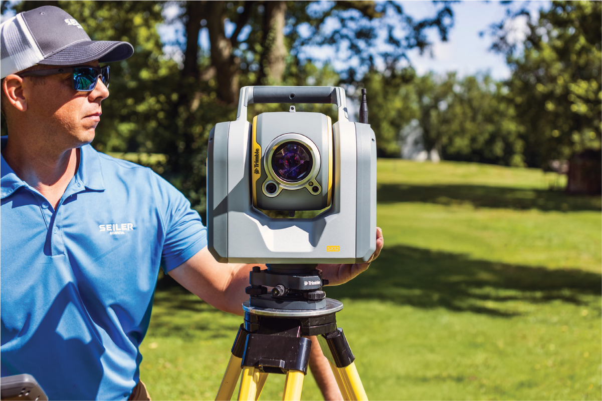
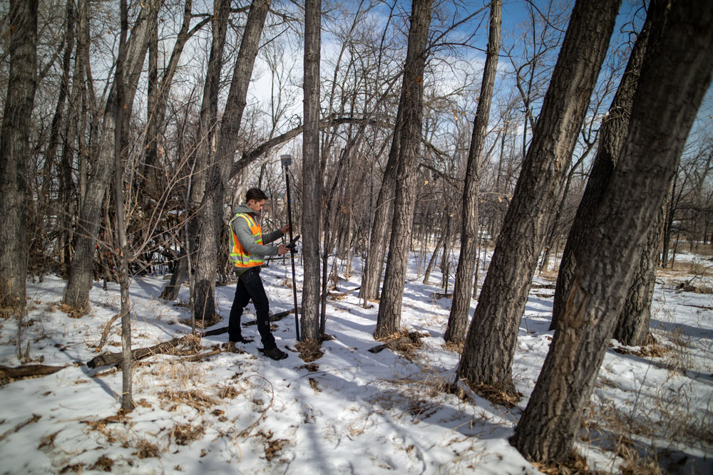
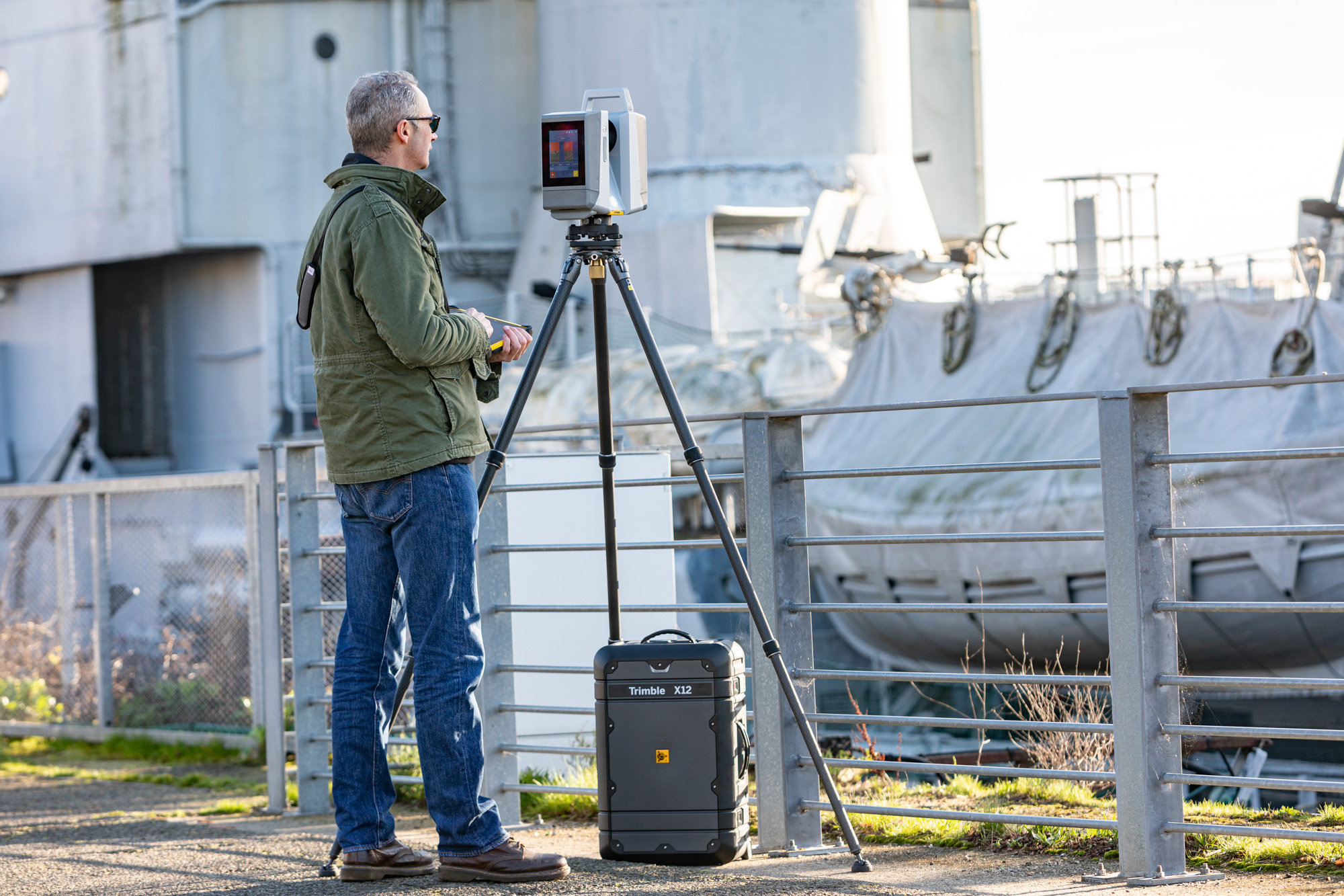
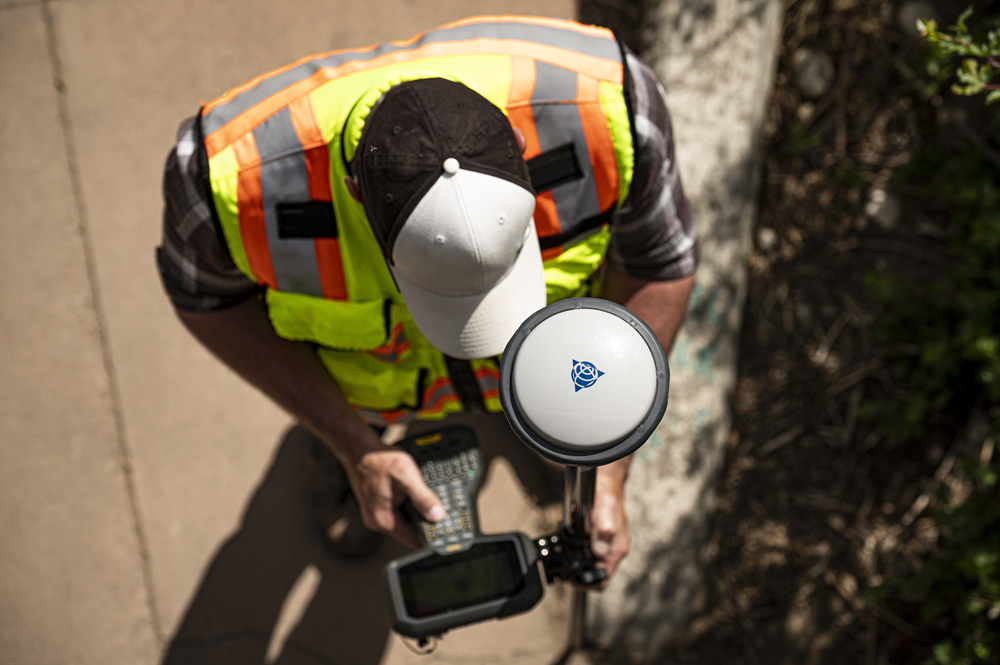
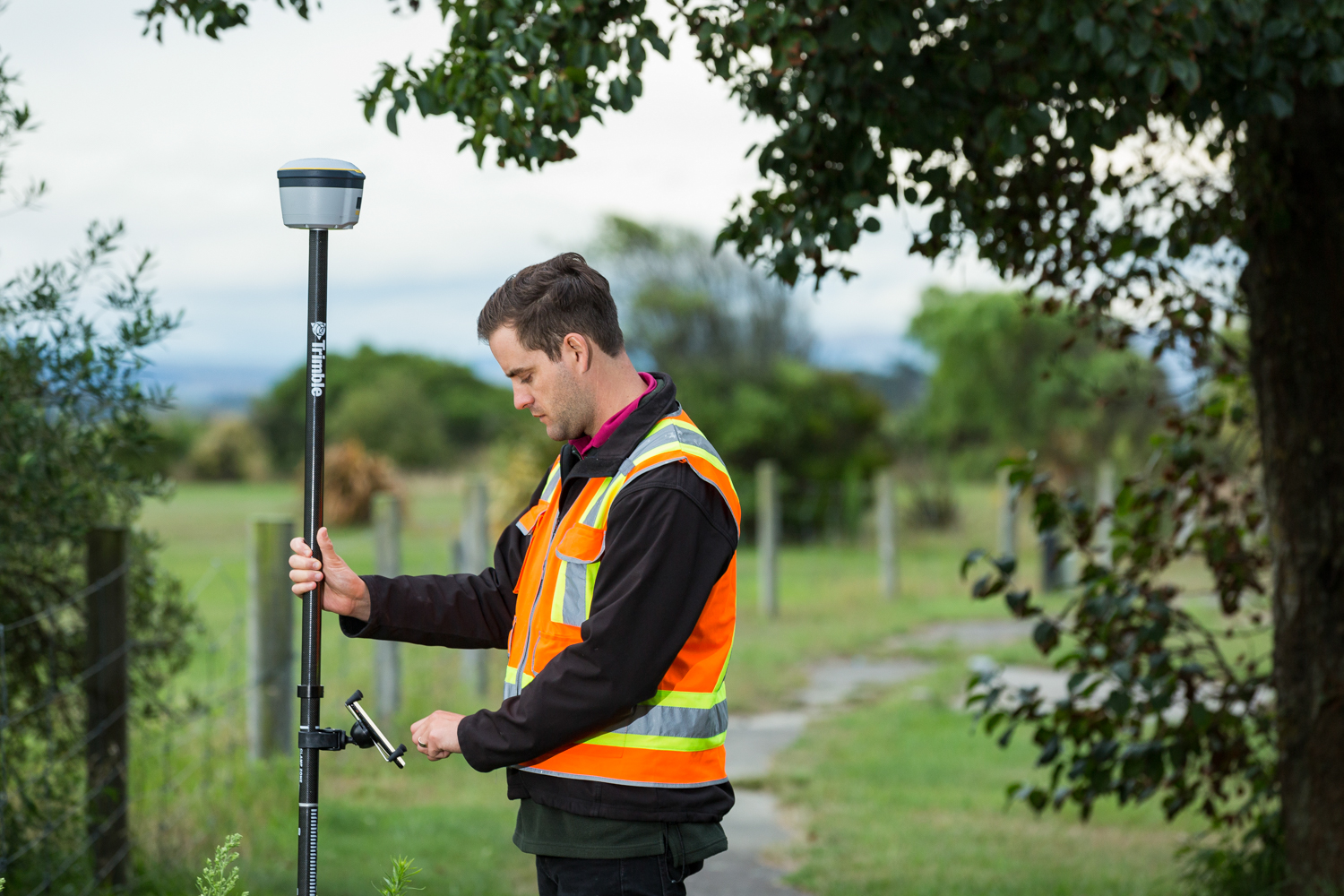
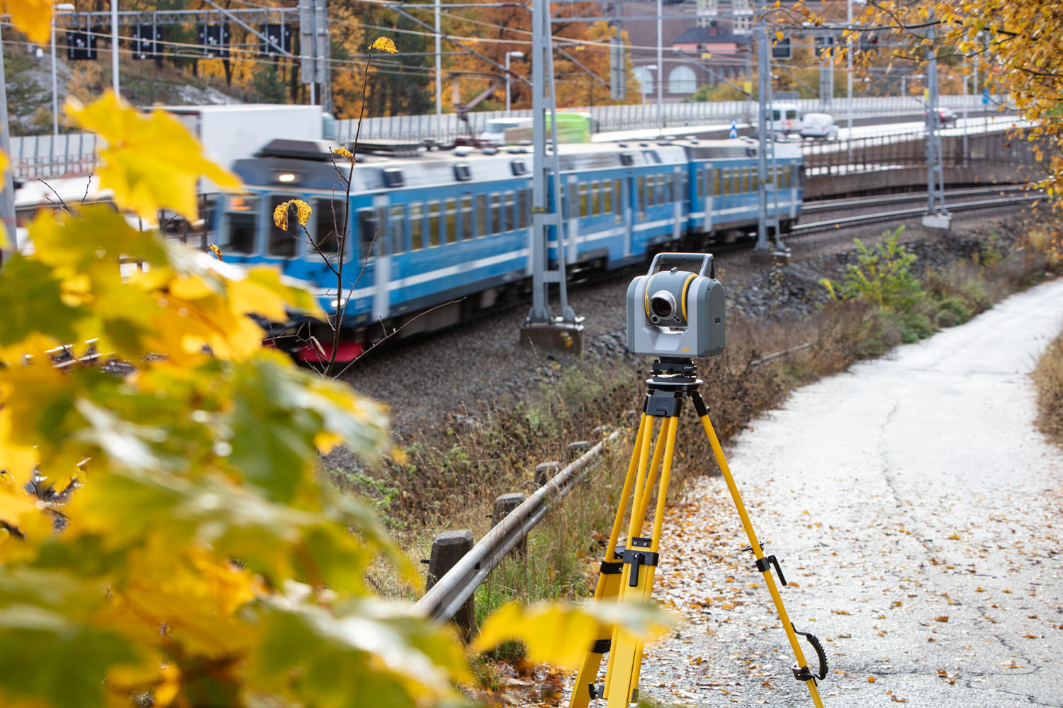
At Seiler Geospatial, we empower surveyors and mapping professionals with industry-leading technology, expert support, and innovative solutions. From high-precision GNSS receivers and robotic total stations to advanced 3D laser scanning and GIS tools, we provide everything you need to capture accurate data efficiently.

Whether you’re working on land development, infrastructure, or geospatial data collection, our trusted solutions streamline workflows, improve accuracy, and boost productivity. With expert training, support, and service, Seiler helps you stay ahead in a rapidly evolving industry.

Precision
Performance

Capture high-accuracy data with cutting-edge technology designed for every job site.

Efficiency
at Every Step

Streamline workflows, reduce downtime, and maximize project efficiency.

Expert Support
When You Need It

Rely on industry professionals for training, service, and ongoing support.

Surveying: The Foundation of Every Project

Build with confidence using high-precision solutions and seamless workflows from Seiler Geospatial.

Cadastral & Boundary

Accurately map and define property lines for precise land ownership and management. Ensure confidence in every boundary with reliable, high-precision technology. Seiler Geospatial provides the tools and expertise to streamline your workflow and deliver trusted results.

Topographic

Precisely map the natural and man-made features of the land, capturing essential details such as elevation, contours, and key structures. Ensure confidence in every aspect of your site with reliable, high-precision technology. Seiler Geospatial provides the tools and expertise to streamline your workflow and deliver accurate, trusted results.

Reality Capture

Transform physical spaces into precise, digital models with advanced scanning and imaging technology. Capture every detail, from structures to terrain, to create accurate 3D representations for analysis and planning. Seiler Geospatial offers the expertise and cutting-edge tools to streamline your workflow and deliver highly detailed, reliable results for your projects.

Stakeout

Accurately position and mark proposed structures or features on the ground based on your design plans. Ensure precision in every placement with advanced technology and expert guidance. Seiler Geospatial provides the tools and expertise to streamline your project’s layout process, ensuring reliable results and seamless execution.

Asset Data Capture & Inspection

Collect and analyze critical asset data with precision to support maintenance, management, and decision-making. Seiler Geospatial uses advanced technologies to capture detailed information on your assets, ensuring accurate inspection and reliable data for optimized performance and longevity. Let our expertise help streamline your asset management process and provide trusted insights.

Monitoring

Track and analyze the movement or behavior of structures, terrain, or environmental conditions over time with precise data collection. Seiler Geospatial uses advanced monitoring technologies to provide real-time insights, ensuring you stay informed and proactive in managing your project’s stability and safety. Our expertise helps you make data-driven decisions with reliable, accurate results.

Have Questions?

"*" indicates required fields

This field is for validation purposes and should be left unchanged.

Quick Links

Subscribe

Get the latest industry insights, product launches, upcoming events, training opportunities, and exclusive promotions delivered right to your inbox.

This field is for validation purposes and should be left unchanged.