
The Trimble SX12 is an all-in-one scanning total station that redefines productivity and precision in the field. ...
Trimble
Do more with less.
We offer a comprehensive selection of advanced 3D scanning equipment designed to meet the diverse needs of surveying and geospatial professionals. Our inventory includes state-of-the-art models such as the Trimble X9, Trimble SX12, and Trimble TX8 3D laser scanners. By integrating this cutting-edge 3D scanning equipment into your operations, you can achieve unparalleled precision and efficiency in your fieldwork.
Select the terms
Sort By
Trimble
Do more with less.
Trimble
Compact and lightweight 3D laser scanner.

Trimble
Offering the range, accuracy, scan times and sensitivity you need to do more, better, and faster.

Trimble
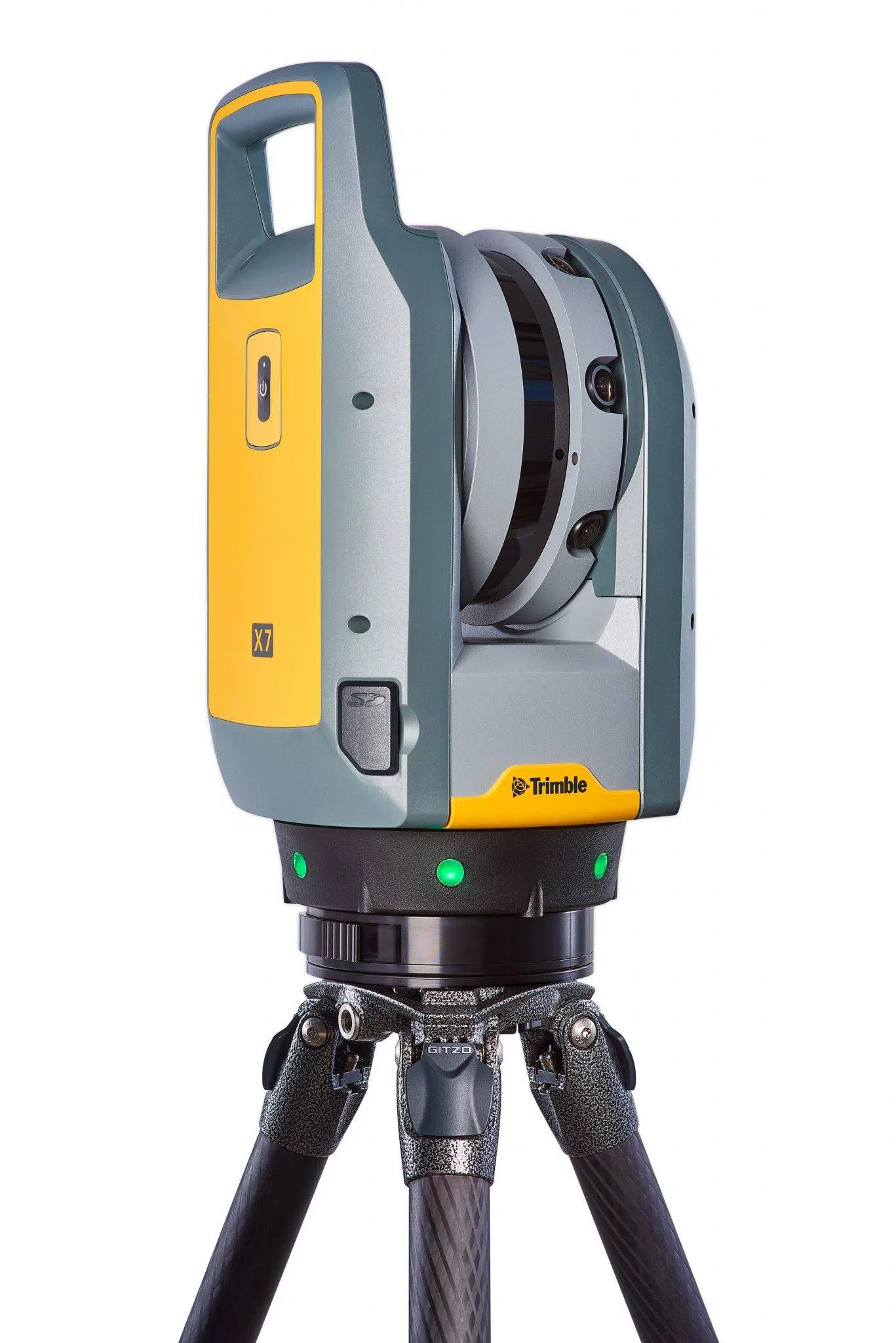
High-end laser scanning with exceptional speed and range combined with laser-focused accuracy and imagery.

Trimble
Large-scale geospatial data collection.

Trimble
Precise LiDAR and 360° imagery for fast, accurate mobile mapping
Trimble
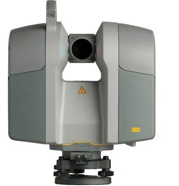
High-speed, high-accuracy 3D laser scanner built for large-scale, detail-rich reality capture projects.
Experience the future of surveying with our state-of-the-art products designed to boost accuracy and efficiency on every project. From advanced GNSS systems and robotic total stations to powerful software solutions like Trimble Access and Trimble Business Center, we offer the tools you need to excel. Don’t just take our word for it—see the difference for yourself. Request a demo today and discover how our innovative technologies can transform your surveying capabilities.
"*" indicates required fields