
Efficiently edit, process, and adjust geospatial data and create deliverables with confidence.?Trimble Business ...
Trimble
Field-to-finish survey CAD Software.
At Seiler Geospatial, we offer a comprehensive suite of office software solutions designed to enhance the efficiency and accuracy of geospatial data processing and analysis. Our offerings include powerful Trimble software for office applications, enabling users to accurately process, model, and analyze captured data. By integrating these advanced office software solutions into your workflows, you can streamline data management and improve productivity in your geospatial projects.
Select the terms
Sort By
Trimble
Field-to-finish survey CAD Software.

Esri
Desktop software for GIS Analysts, developers, and everyday users.
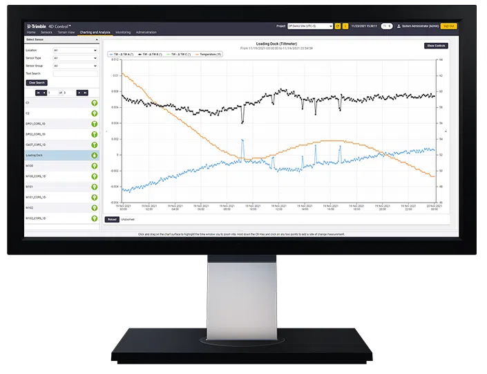
Trimble
Unlock the full potential of your geospatial monitoring data.
Experience the future of surveying with our state-of-the-art products designed to boost accuracy and efficiency on every project. From advanced GNSS systems and robotic total stations to powerful software solutions like Trimble Access and Trimble Business Center, we offer the tools you need to excel. Don’t just take our word for it—see the difference for yourself. Request a demo today and discover how our innovative technologies can transform your surveying capabilities.
"*" indicates required fields