Trimble
Reduce workflow complexity and complement your traditional RTK solutions.
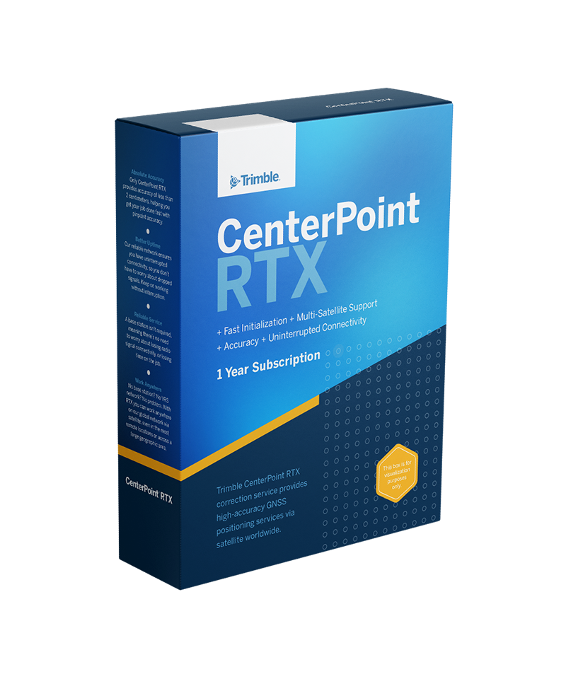
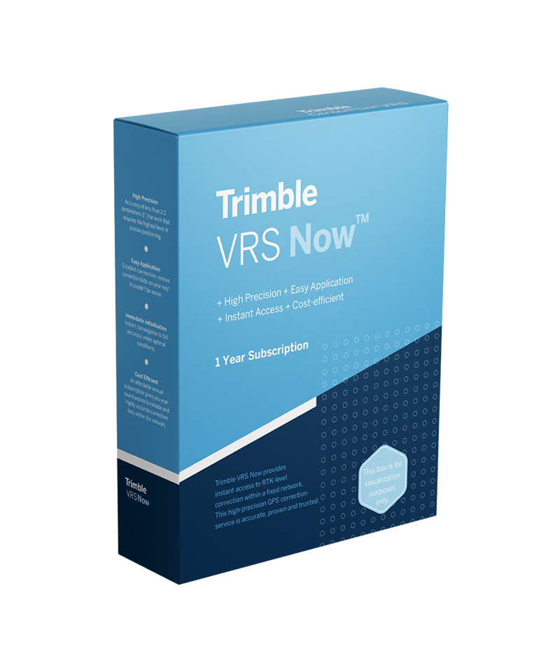
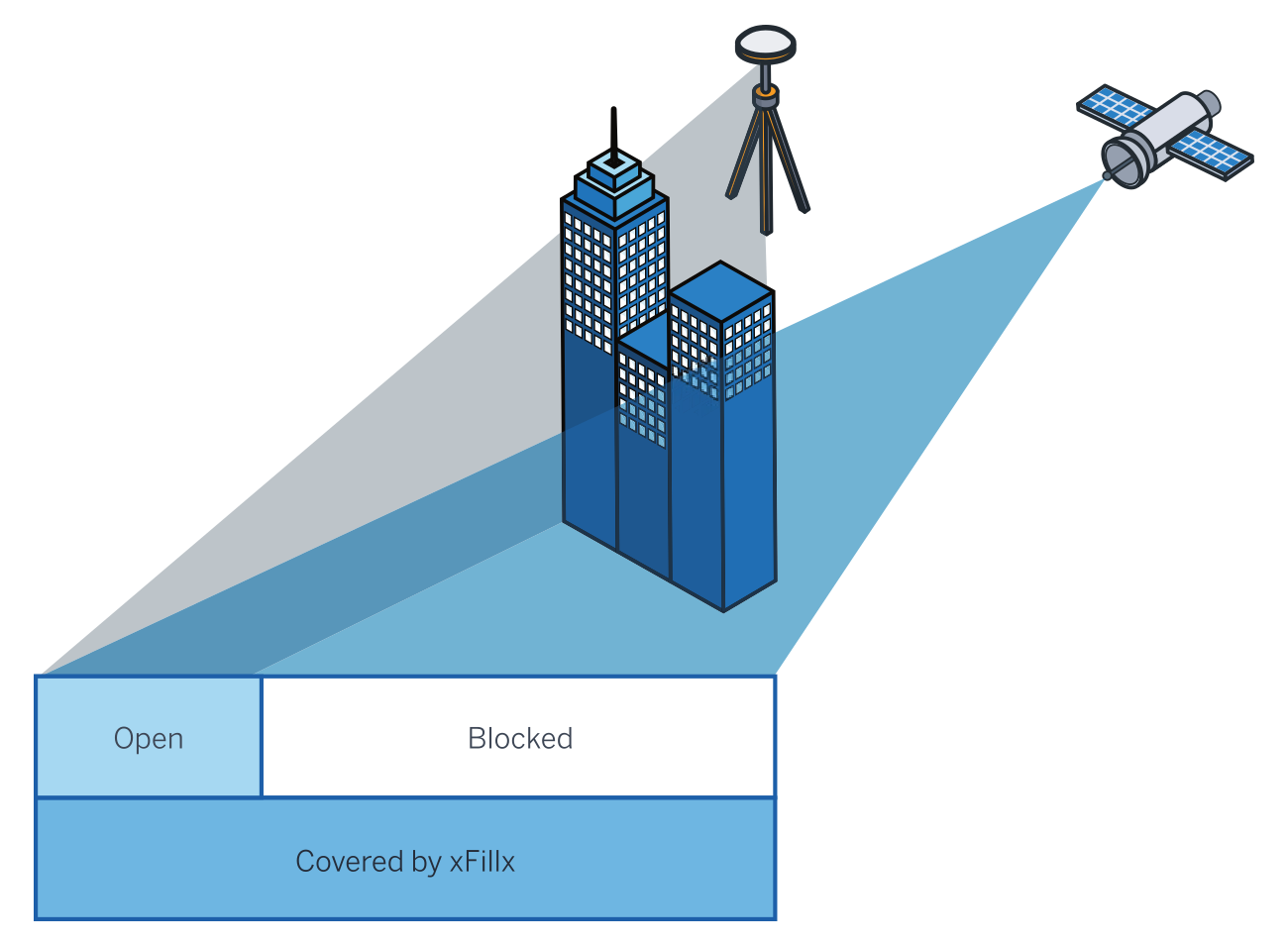
At Seiler Geospatial, we offer Trimble GNSS Correction Services to ensure precise positioning for your geospatial applications. Our services include VRS Now™, CenterPoint® RTX, FieldPoint RTX™, RangePoint® RTX, and ViewPoint RTX™, each tailored to deliver varying levels of accuracy to meet your specific project requirements. These services enable instant access to real-time kinematic (RTK) corrections without the need for a local base station, providing centimeter-level accuracy ideal for topographic and cadastral mapping, asset management, and more. By integrating our correction services into your workflows, you can achieve higher accuracy and greater availability than standard SBAS corrections, enhancing the reliability and efficiency of your field operations.
Select the terms
Sort By

Trimble
Reduce workflow complexity and complement your traditional RTK solutions.

Trimble
Proven, cost-effective Trimble-operated correction service.

Trimble
Seamless centimeter-level backup corrections.
Experience the future of surveying with our state-of-the-art products designed to boost accuracy and efficiency on every project. From advanced GNSS systems and robotic total stations to powerful software solutions like Trimble Access and Trimble Business Center, we offer the tools you need to excel. Don’t just take our word for it—see the difference for yourself. Request a demo today and discover how our innovative technologies can transform your surveying capabilities.
"*" indicates required fields