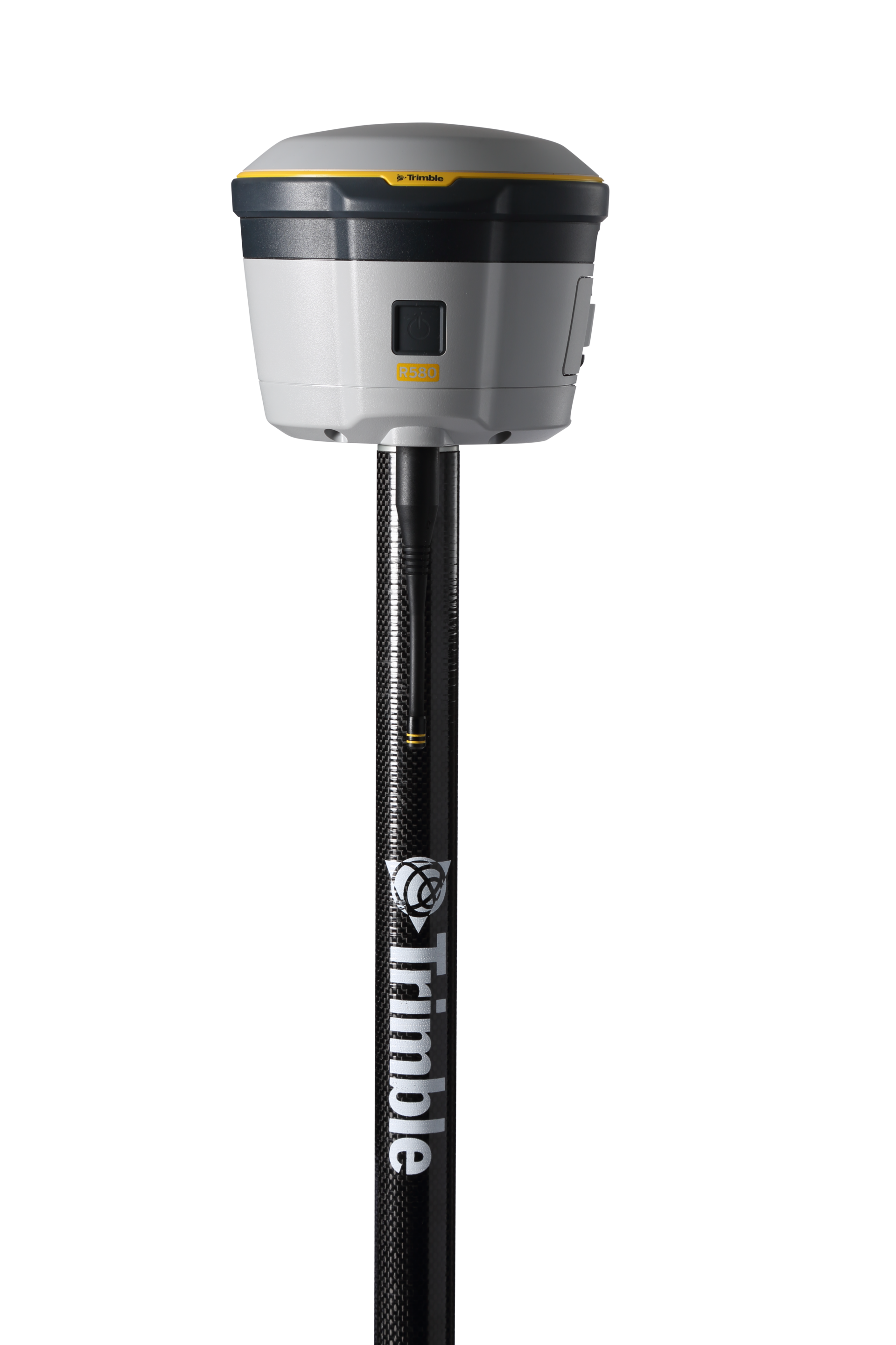
Trimble
Proven, reliable positioning with industry-leading technology.
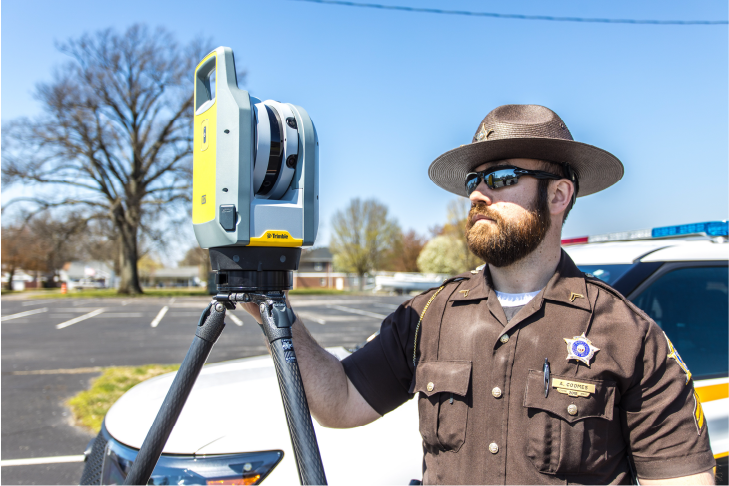
Seiler Geospatial is at the forefront of transforming how organizations view and manage the subsurface. By integrating cutting-edge mapping and GIS technologies, they deliver precise, real-time insights into underground assets—from pipelines and utility lines to complex environmental features. This comprehensive perspective not only streamlines planning and reduces operational risks but also empowers industries and governments to make informed, strategic decisions for sustainable development and community safety.


Trimble
Proven, reliable positioning with industry-leading technology.
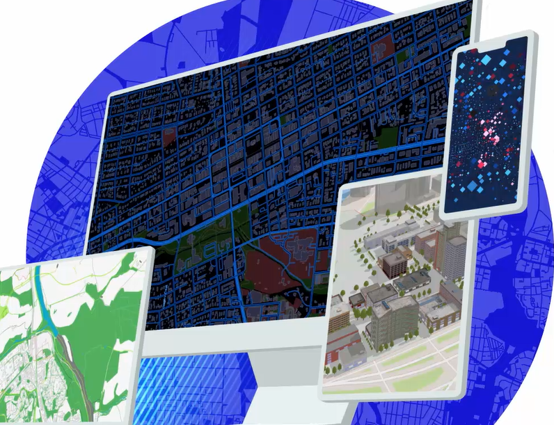
Esri
Esri’s cloud environment, where Seiler builds all of the databases and apps for our clients.
Esri
Desktop software for GIS Analysts, developers, and everyday users.
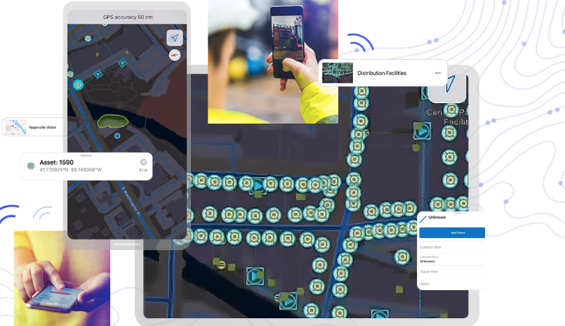
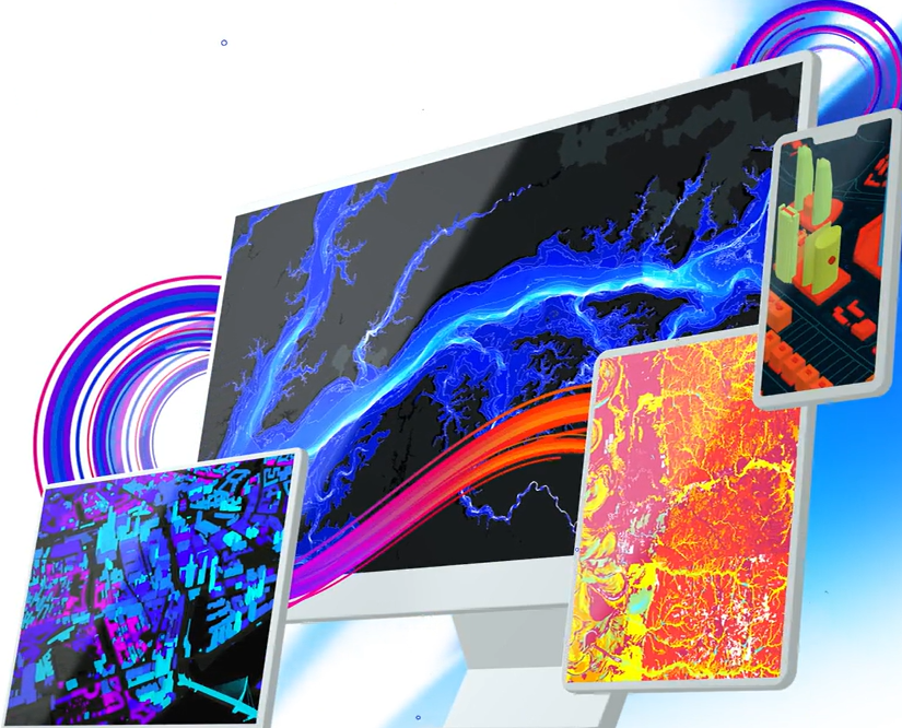
Esri
Mobile data collection app that is integrated with Trimble hardware solutions
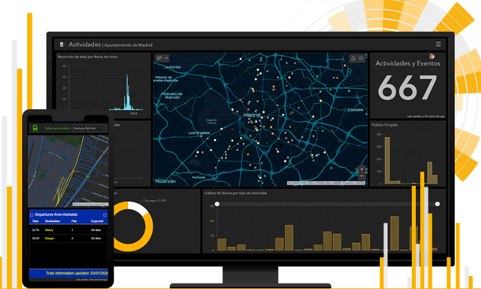
Esri
Map with dashboard capabilities for viewing data analytics. Created for users that need administrative views of data, project status, etc.
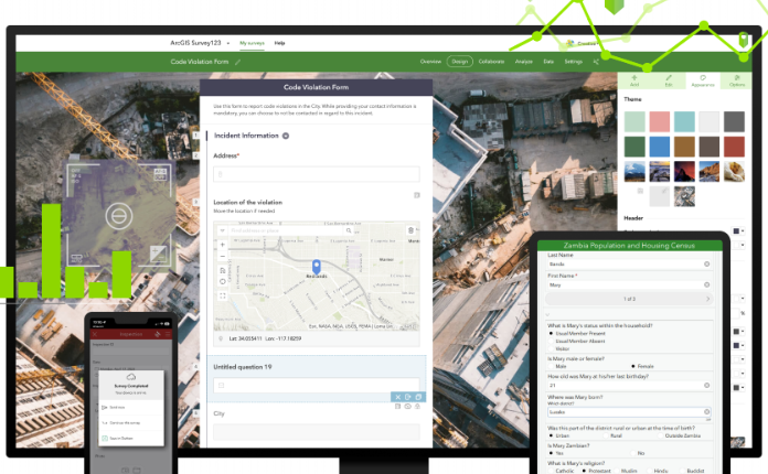
Esri
Survey form factor for collecting tabular data used when crowd sourcing & public outreach. Integrated with Trimble Hardware.
Esri
Autodesk integration for 3D visualization, Digital Twin apps and more.
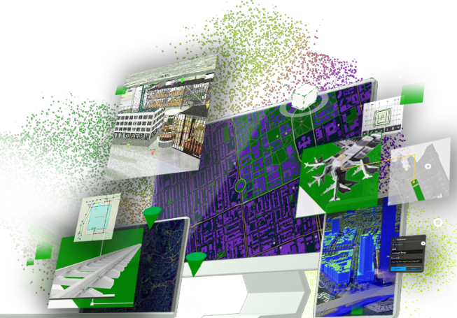
Esri
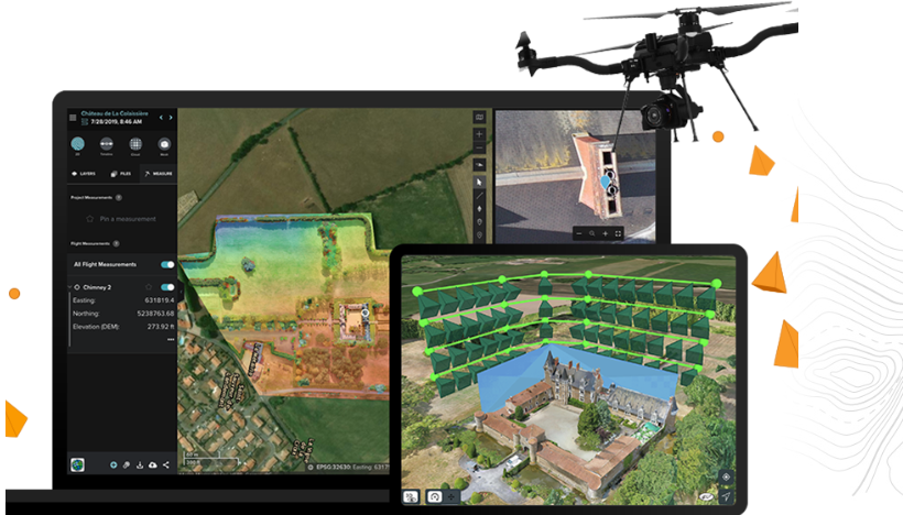
Drone planning, processing data, reality capture, etc

Esri
Interior 3D building plans for emergency management, office spaces, hotels & more.
Esri
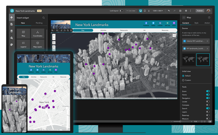
Web mapping application to view, edit, visualize data collected in the field or office
Discover how Seiler can help optimize your project. Contact us to learn more or request a demo.