Transportation
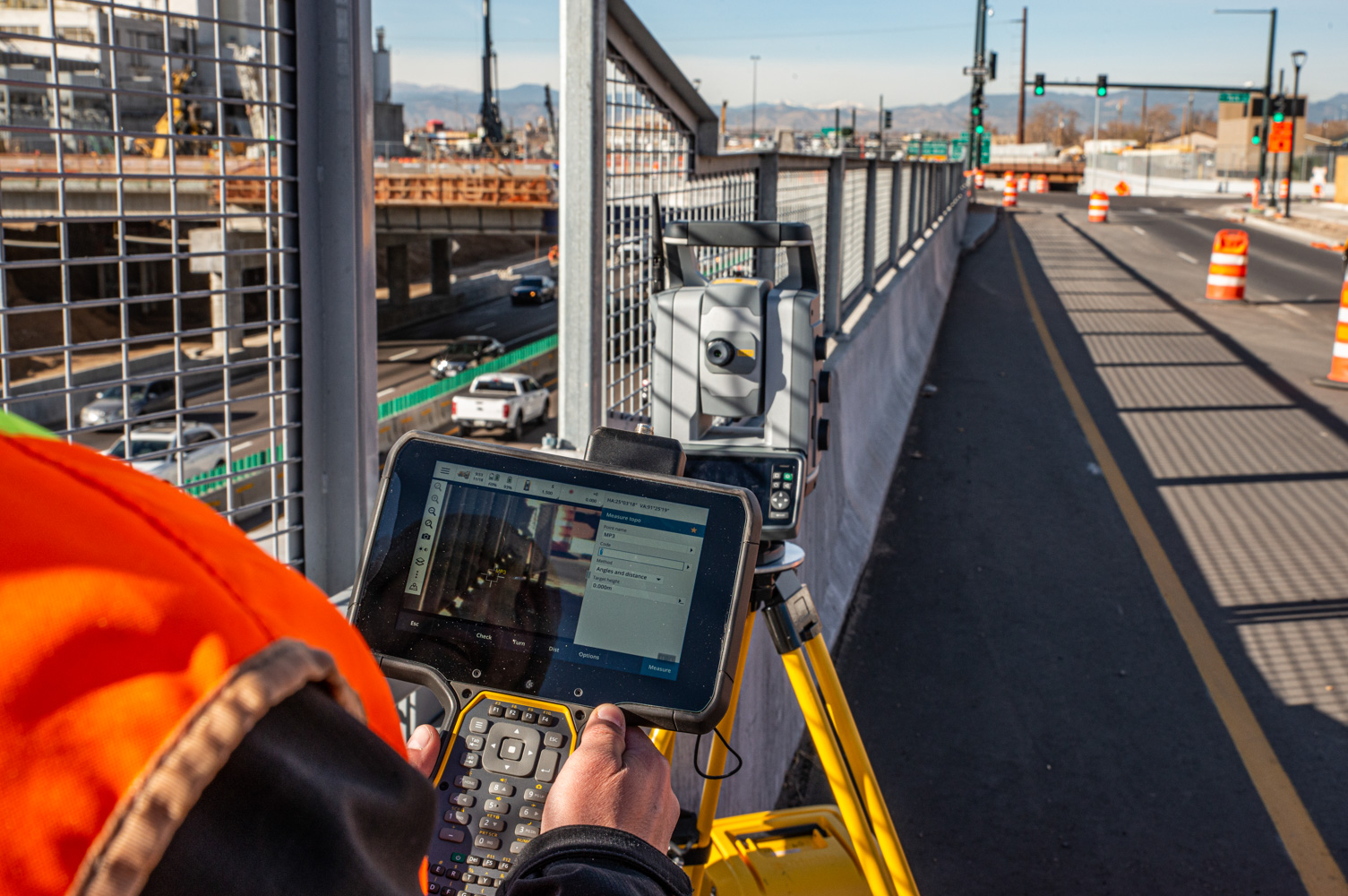
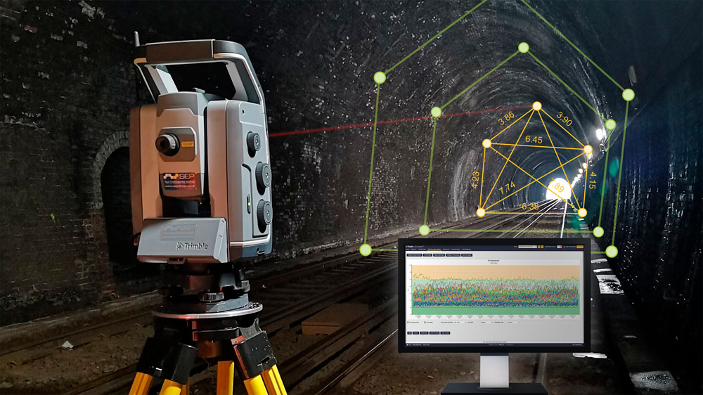
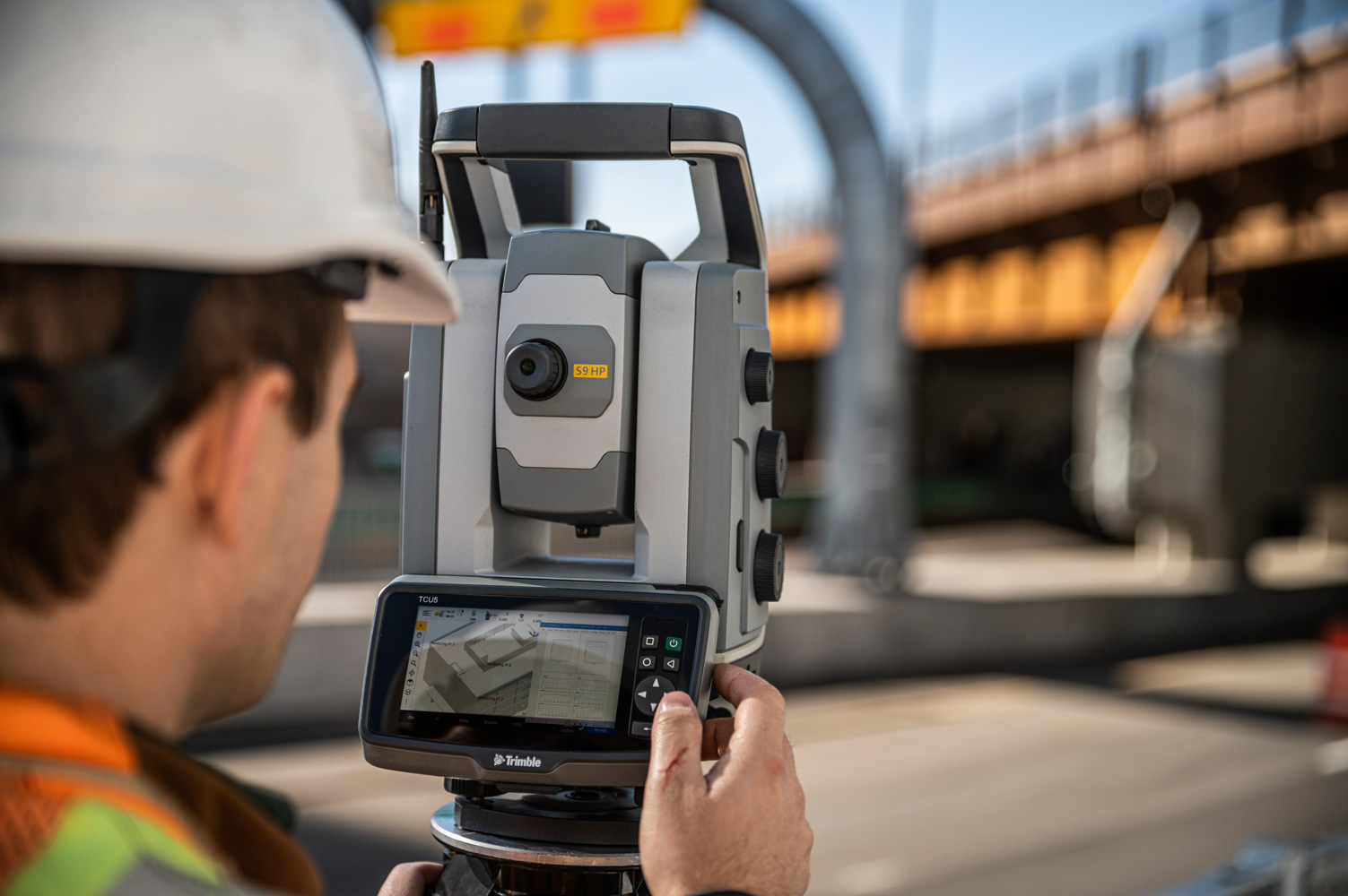
At Seiler Geospatial, we equip surveyors and mapping professionals in the transportation industry with cutting-edge technology, expert support, and innovative solutions. From high-precision GNSS receivers and robotic total stations to advanced 3D laser scanning and GIS tools, we provide everything you need to capture accurate data with efficiency.
Whether you’re working on roadways, bridges, railways, or other transportation infrastructure projects, our trusted solutions streamline workflows, improve accuracy, and increase productivity. With comprehensive training, ongoing support, and expert service, Seiler Geospatial ensures you stay ahead in an ever-evolving industry.


Have Questions?
"*" indicates required fields
Quick Links
Subscribe
Get the latest industry insights, product launches, upcoming events, training opportunities, and exclusive promotions delivered right to your inbox.