Gas Utilities
Seiler Geospatial offers advanced solutions for the gas sector within the utilities industry, providing accurate mapping, monitoring, and management of gas infrastructure. Using cutting-edge GNSS, LiDAR, and GIS technologies, we help gas utilities capture precise data on pipelines, compressor stations, and distribution networks. Our solutions improve asset management, support preventive maintenance, and ensure the safety and reliability of gas systems. With Seiler Geospatial’s tools, gas utilities can optimize operations, enhance decision-making, and reduce risks while maintaining efficient service delivery.
For Every Project, Seiler Geospatial Powers Precision
Seiler Geospatial trusts Trimble for reliable, accurate, and efficient results—on any terrain, in any condition.
Upstream
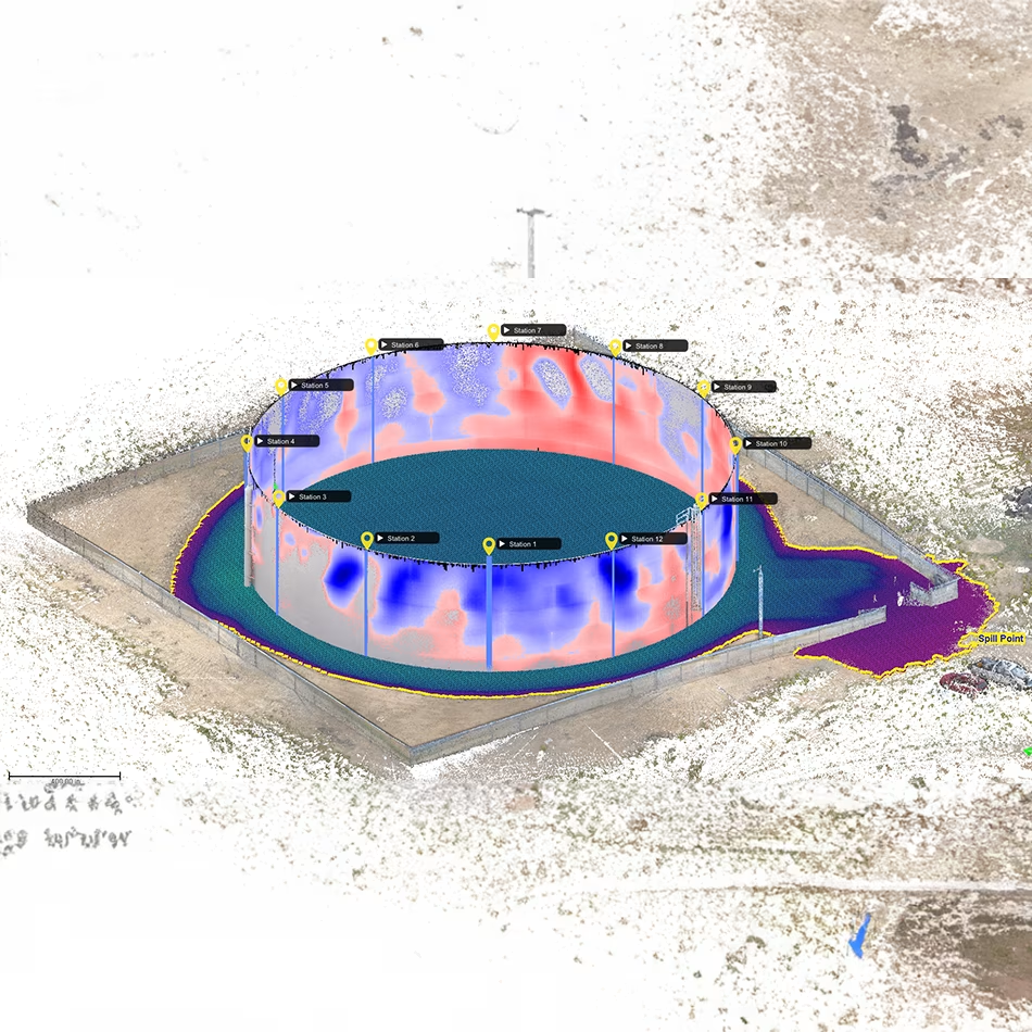
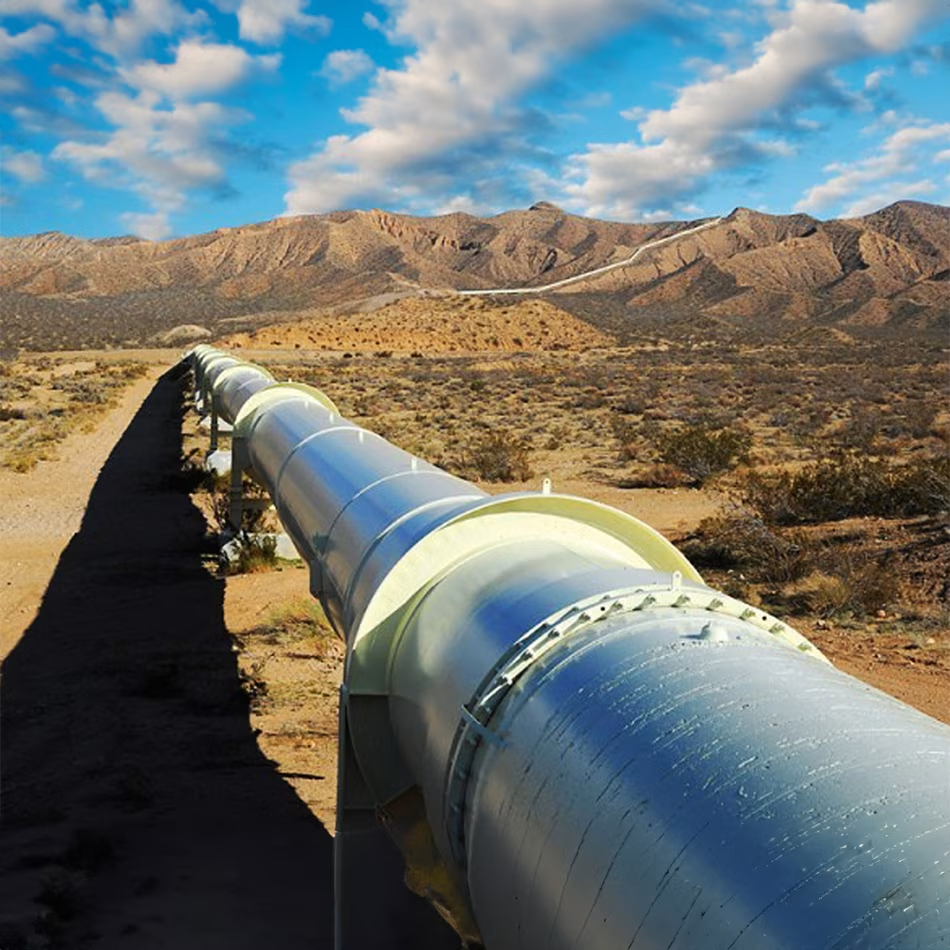
Midstream
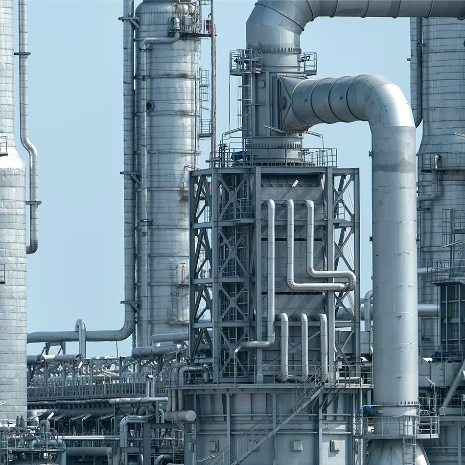
Downstream
Seiler Geospatial Delivers Confidence
From GNSS and scanning to field software and monitoring, our solutions are trusted for accuracy, safety, and efficiency—no matter the challenge.
Please contact us to learn more about related product solutions.
Please contact us to learn more about related product solutions.
Get Started Today
Discover how Seiler can help optimize your project. Contact us to learn more or request a demo.