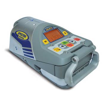
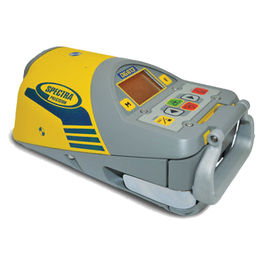
Water Utilities

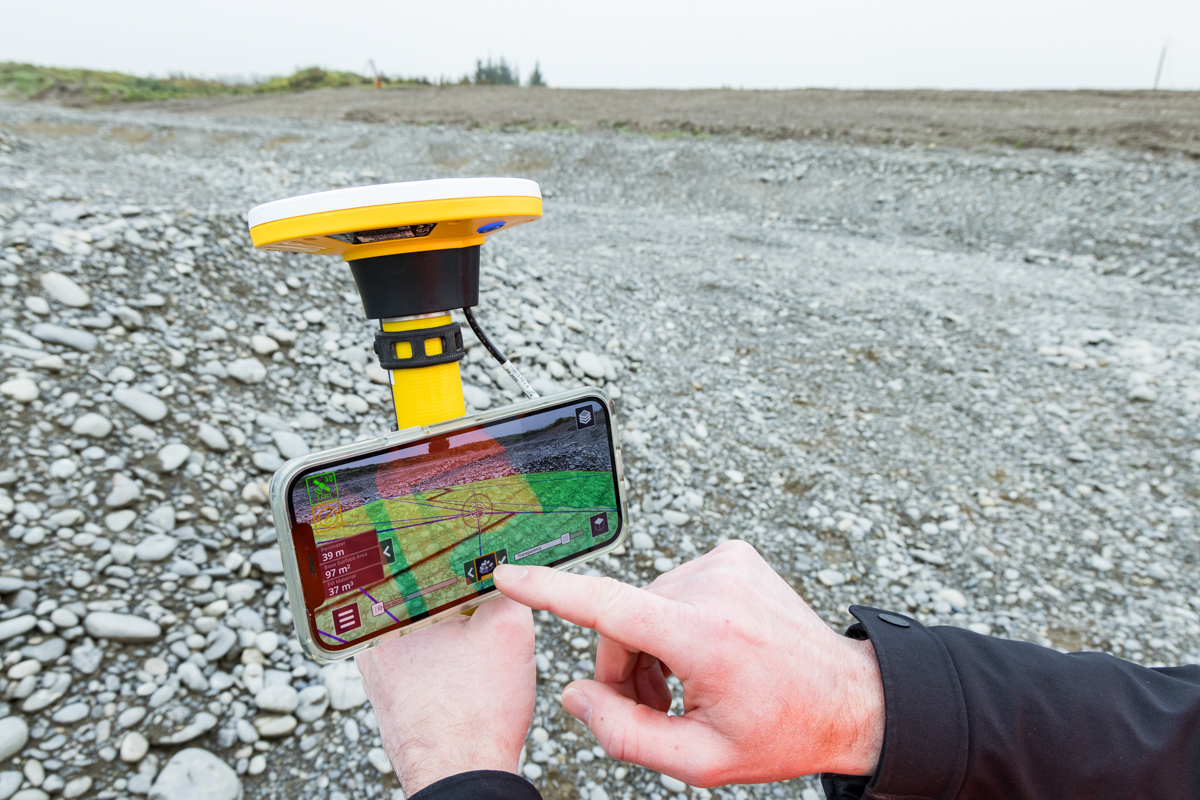
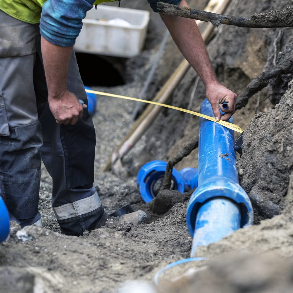
Seiler Geospatial offers advanced solutions for the water sector within the utilities industry, providing precise mapping, monitoring, and management of water infrastructure. Using high-accuracy GNSS, LiDAR, and GIS technologies, we help water utilities capture detailed data on pipelines, treatment plants, reservoirs, and distribution networks. Our solutions improve asset management, support maintenance planning, and ensure optimal water distribution and quality. With Seiler Geospatial’s tools, water utilities can streamline operations, enhance decision-making, and maintain the reliability and sustainability of their infrastructure.

Faster, Smarter & More Reliable Water Infrastructure Development

Powered by Trimble, our solutions deliver the accuracy, efficiency, and confidence water utilities need to plan, build, and maintain resilient distribution systems.

Planning

Build a smarter water network with data-driven foresight Seiler Geospatial, powered by Trimble technology, helps utilities optimize water infrastructure planning with accurate, real-time spatial data. Visualize your entire network with field-to-office-to-field workflows that support sustainable service delivery. Evaluate current capacity, forecast future demand, and identify system vulnerabilities—ensuring your network can meet growing needs reliably and efficiently. Confident planning today means a more resilient water system tomorrow.

Installation

In the water industry, wasted time searching for buried assets is all too common. Seiler Geospatial, powered by Trimble technology, helps utilities capture accurate 3D locations and asset details at the moment of installation—eliminating guesswork down the line. Ensure valves, pipes, and meters are properly placed the first time, and create reliable as-laid and as-built records that streamline future maintenance and system planning. With dependable data, your team can work as smoothly and efficiently as the water flowing through your network.

Inventory & Condition Assessment

Efficient water management starts with complete visibility. Seiler Geospatial, using Trimble technology, empowers you to digitally inventory assets and assess their condition with precise, real-time spatial data. Track performance, spot trends in usage and wear, and plan proactive maintenance or replacements to avoid costly disruptions. With accurate asset intelligence, you can make informed decisions and extend the life of your water infrastructure. Better data. Smarter water systems.

Maintenance & Replacement

Every day, water systems lose trillions of gallons due to unnoticed leaks and failing infrastructure. Seiler Geospatial, powered by Trimble technology, gives utilities the tools to change that—with accurate, real-time field data and asset insights. Gain a clear view of your entire network to proactively identify risks, prioritize inspections, and plan cost-effective maintenance. With precise location-based intelligence, you can reduce downtime, extend asset life, and keep water flowing where it’s needed most.

Water-Ready Solutions for Smarter Infrastructure

Capture precise 3D asset data, streamline field operations, and make informed decisions with tools designed to enhance system reliability, minimize water loss, and support long-term infrastructure planning and growth.
Please contact us to learn more about related product solutions.

Get Started Today

Discover how Seiler can help optimize your project. Contact us to learn more or request a demo.