Construction
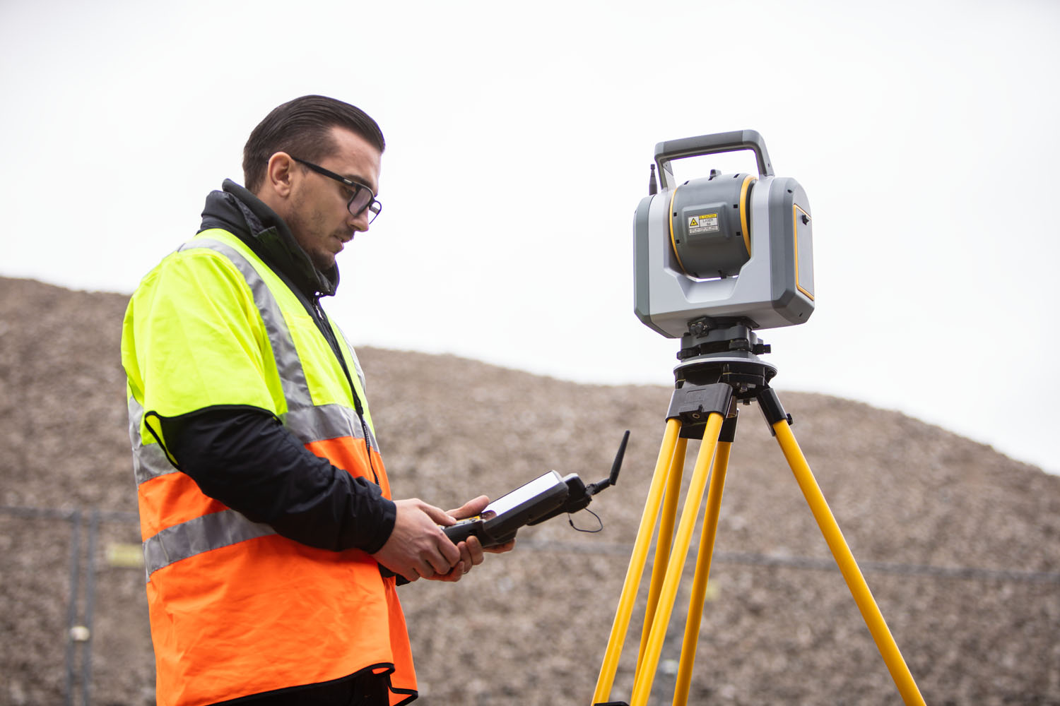
At Seiler Geospatial, we provide construction professionals with advanced technology, expert support, and innovative solutions to enhance project efficiency and precision. From high-accuracy GNSS receivers and robotic total stations to 3D laser scanning and GIS tools, we offer the essential equipment needed to capture accurate data and streamline workflows.
Whether you’re working on site development, infrastructure projects, or construction management, our trusted solutions improve accuracy, boost productivity, and ensure successful project delivery. With expert training and ongoing support, Seiler Geospatial helps you stay ahead in the fast-paced construction industry.


Construction: Advanced Solutions for the Construction Industry
Build with confidence using high-precision solutions and seamless workflows from Seiler Geospatial.
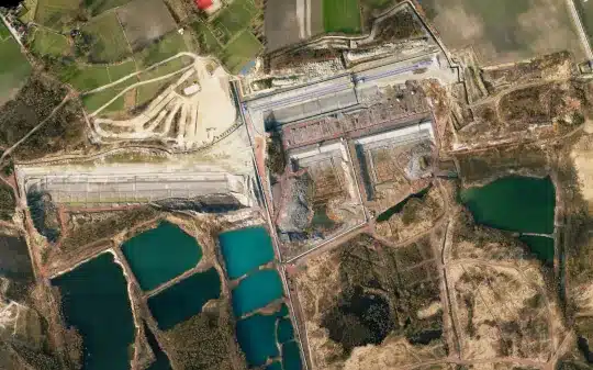
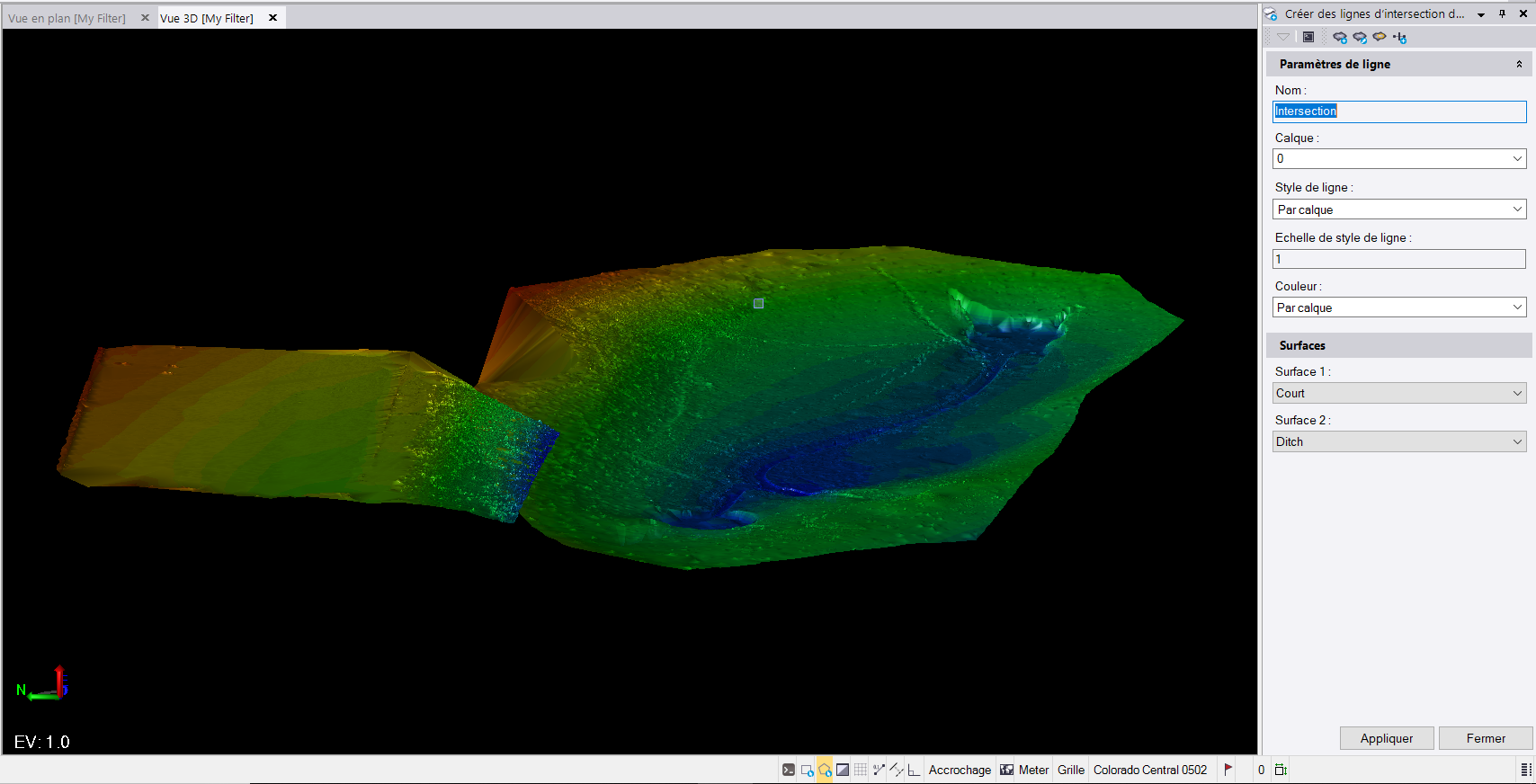
Digital Construction Survey
Positioning Assurance
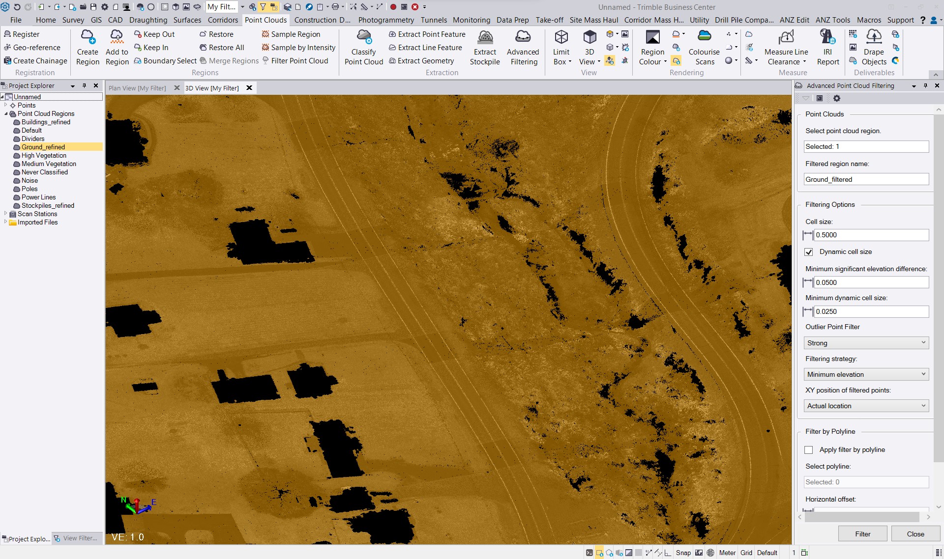
Deliverables & Reporting

Geodetic Control
Connected Workflows
Have Questions?
"*" indicates required fields
Quick Links
Subscribe
Get the latest industry insights, product launches, upcoming events, training opportunities, and exclusive promotions delivered right to your inbox.