Monitoring

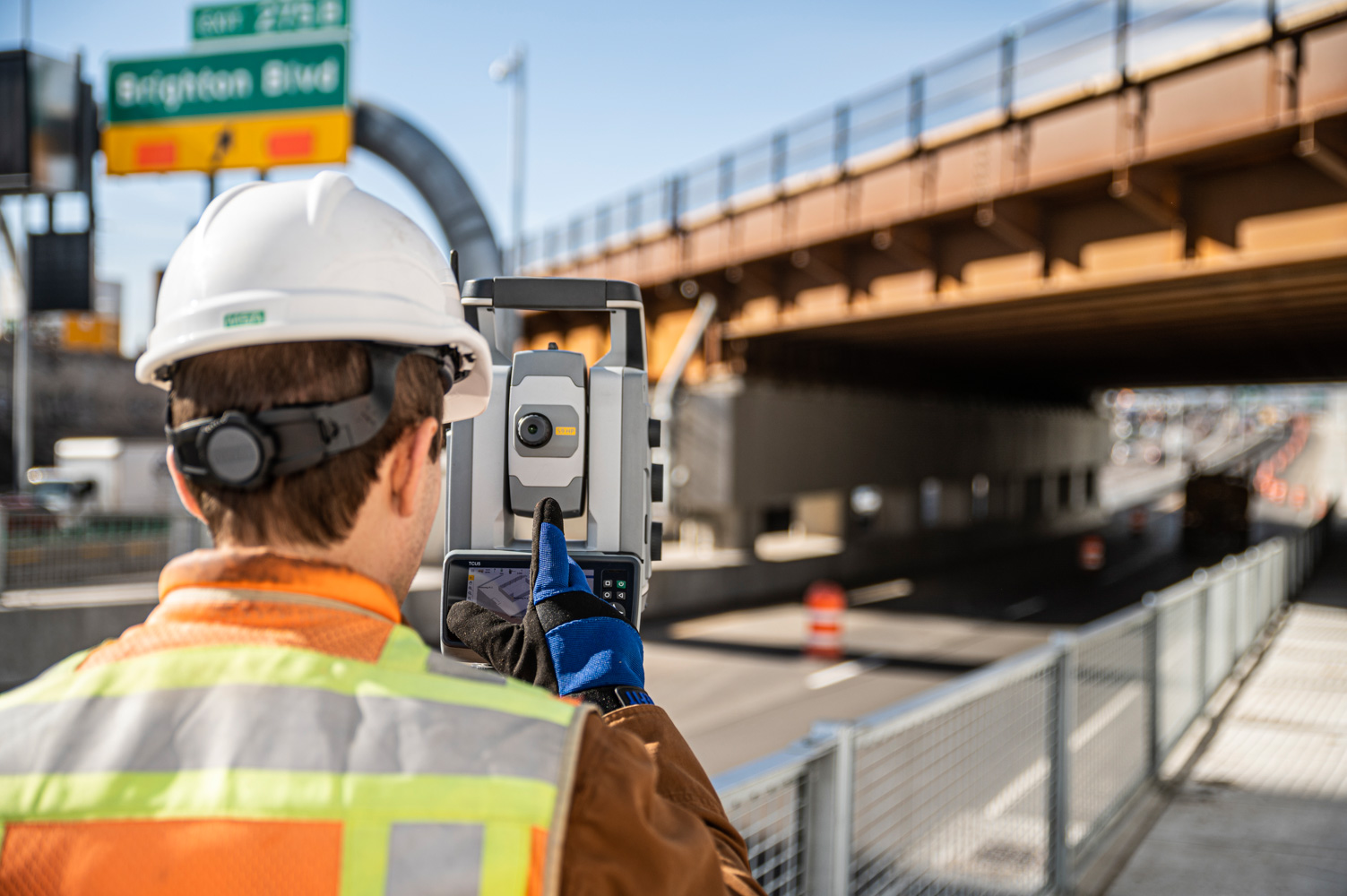
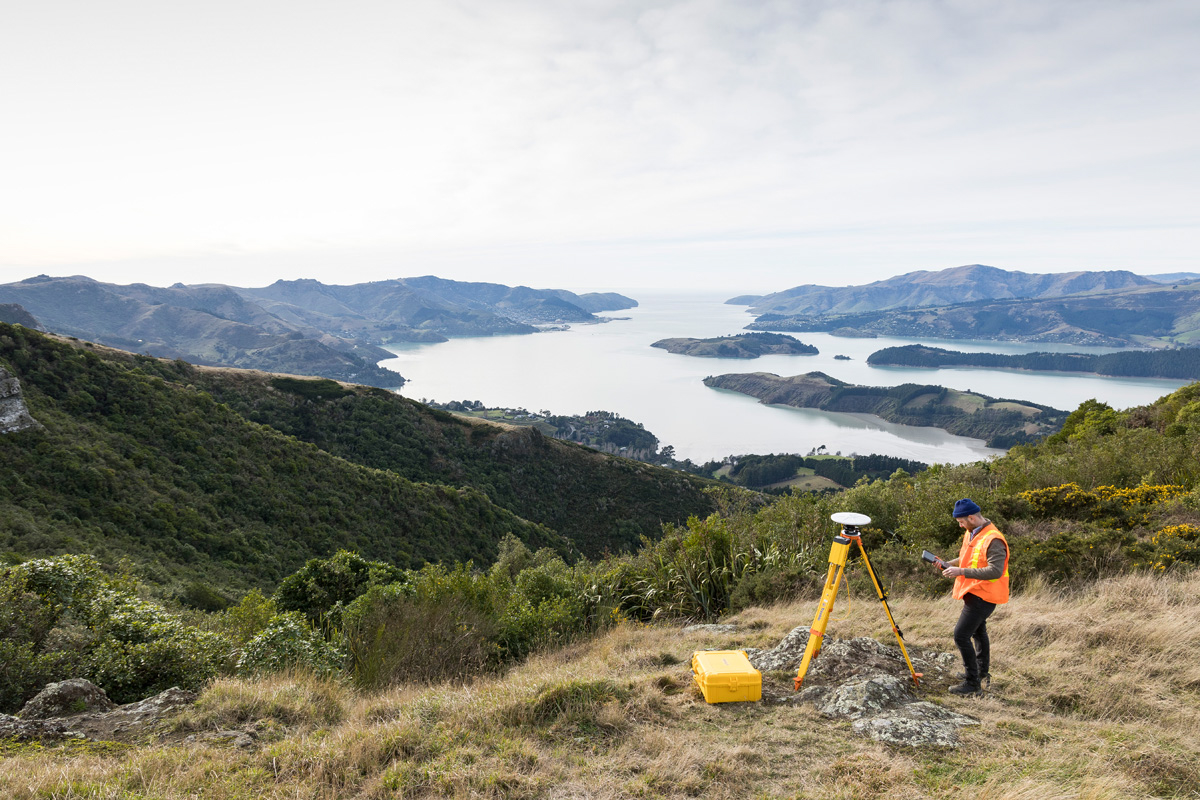
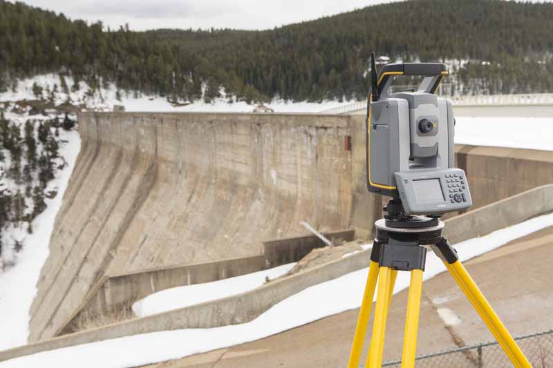
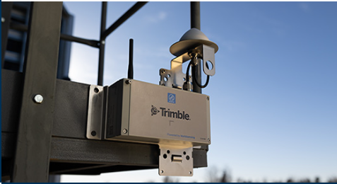
At Seiler Geospatial, we provide industry-leading technology, expert support, and innovative solutions for monitoring projects. From high-precision GNSS receivers and robotic total stations to advanced 3D laser scanning and GIS tools, we offer everything you need to collect and analyze data with accuracy and efficiency.

Whether you’re monitoring structural integrity, environmental changes, or infrastructure stability, our trusted solutions streamline workflows, enhance precision, and improve decision-making. With comprehensive training, dedicated support, and reliable service, Seiler Geospatial ensures your monitoring projects are successful and data-driven.

Monitoring & Performance

Capture real-time, high-accuracy data with advanced technology designed for every monitoring need.

Enhanced Efficiency

Optimize workflows, minimize downtime, and enhance project efficiency with reliable monitoring solutions.

Expert Level Support

Trust our professionals for training, service, and support to ensure accurate, continuous monitoring.

Monitoring: Precision Solutions for Monitoring

Ensure accuracy with high-precision solutions and seamless workflows from Seiler Geospatial.

Infrastructure

Automatic, continuous data capture ensures high levels of safety and progress tracking for rail, tunnel, bridge, and road projects. Seiler Geospatial collects structural integrity data across the entire lifecycle of infrastructure assets, providing valuable insights into maintenance needs and supporting proactive decisions to maintain structural health.

Buildings & Structures

Construction projects can trigger ground movements, vibrations, and shocks that impact surrounding buildings and infrastructure. Seiler Geospatial combines data from geotechnical, geodetic, and environmental sensors to provide stakeholders with a comprehensive view of structural integrity and potential failure zones, ensuring the safety of both structures and personnel.

Dams & Mining

Monitor dam and mine operations to identify potential failures and make informed decisions that mitigate production risks. Seiler Geospatial’s monitoring solutions provide consistent, reliable data that ensures safety, boosts operational efficiency, and delivers insights to maintain a safe working environment, enhance productivity, and reduce waste.

Environmental Hazards

Environmental hazards can escalate into catastrophic events that threaten infrastructure. Seiler Geospatial’s monitoring solutions detect earth movements and track trends, allowing owners and municipalities to predict failure points and proactively respond to mitigate risks before significant damage occurs.

Monitoring Environment Demo

Request a live demo of Seiler’s St. Louis sensor system and a personalized Trimble 4D Control (T4D) session.

Have Questions?

"*" indicates required fields

This field is for validation purposes and should be left unchanged.

Quick Links

Subscribe

Get the latest industry insights, product launches, upcoming events, training opportunities, and exclusive promotions delivered right to your inbox.

This field is for validation purposes and should be left unchanged.