Transportation

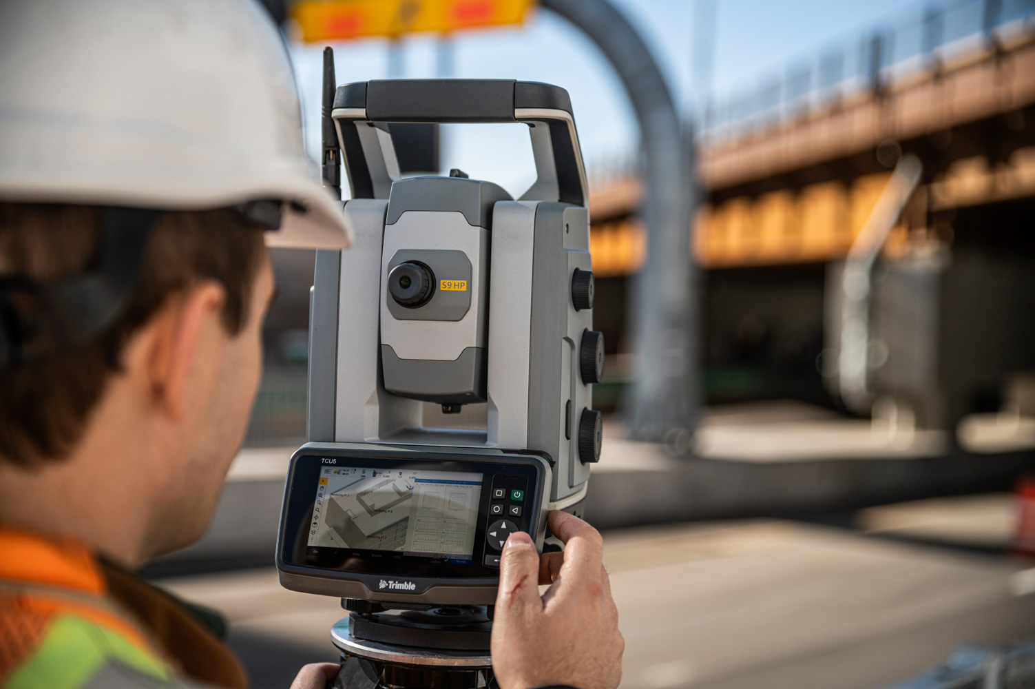
At Seiler Geospatial, we equip surveyors and mapping professionals in the transportation industry with cutting-edge technology, expert support, and innovative solutions. From high-precision GNSS receivers and robotic total stations to advanced 3D laser scanning and GIS tools, we provide everything you need to capture accurate data with efficiency.

Whether you’re working on roadways, bridges, railways, or other transportation infrastructure projects, our trusted solutions streamline workflows, improve accuracy, and increase productivity. With comprehensive training, ongoing support, and expert service, Seiler Geospatial ensures you stay ahead in an ever-evolving industry.

Increased
Safety

Capture accurate data with confidence, ensuring safety and efficiency throughout the process.

Proven Productivity

Deliver projects on time and within budget, ensuring efficiency and success every step of the way.

Informed Decision-Making

Convert 3D data into actionable insights, enabling confident decisions and precise deliverables.

Transportation: Innovative Solutions from Seiler Geospatial

Improve efficiency and accuracy with high-precision solutions and seamless workflows from Seiler Geospatial.

Roads

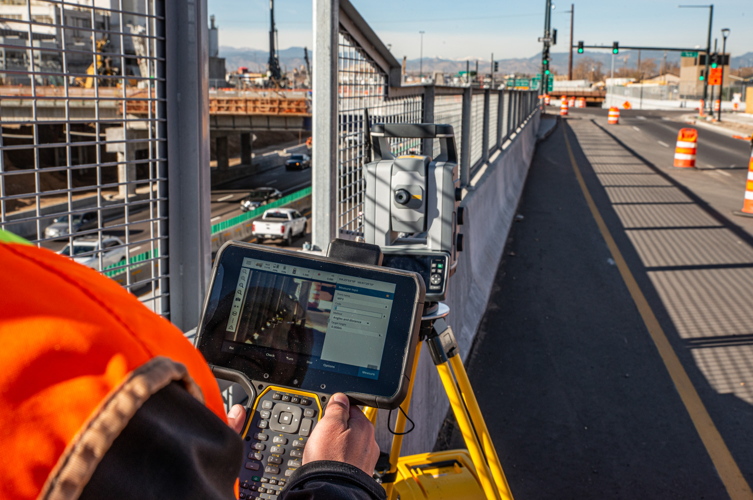
Ensure safety, quality, and timely delivery for all road infrastructure projects with Seiler Geospatial’s precision solutions.

Tunnels

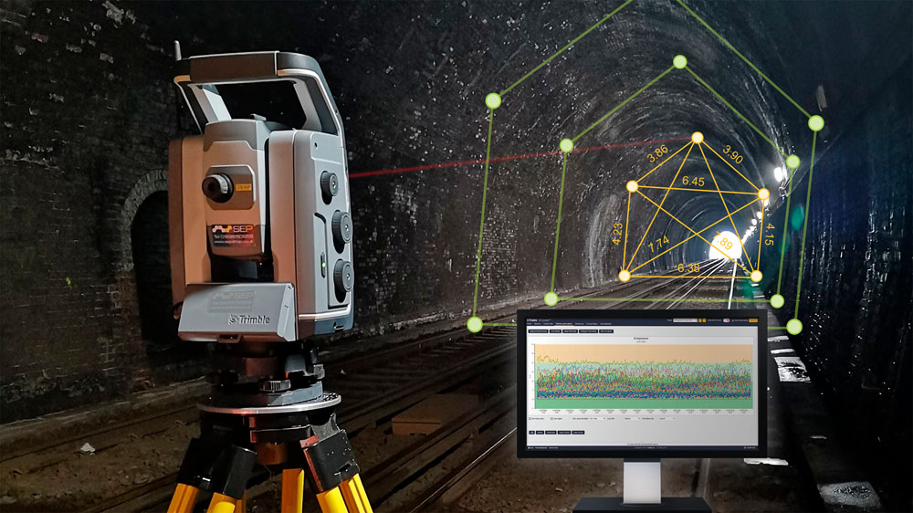
Achieve tight tolerances and exceed high expectations with Seiler Geospatial solutions that keep your team on track, minimizing waste and rework while maintaining full control and precision.

Rail

Seiler Geospatial solutions align precision with industry standards, delivering accurate data quickly and reliably to ensure your project stays on track and meets safety and compliance requirements.

Bridges

Capture geospatial data quickly, accurately, and with flexibility to meet your project needs. Then, transform that data into actionable deliverables that support the planning, construction, and maintenance of bridge infrastructure.

Have Questions?

"*" indicates required fields

This field is for validation purposes and should be left unchanged.

Quick Links

Subscribe

Get the latest industry insights, product launches, upcoming events, training opportunities, and exclusive promotions delivered right to your inbox.


This field is for validation purposes and should be left unchanged.