Bridges

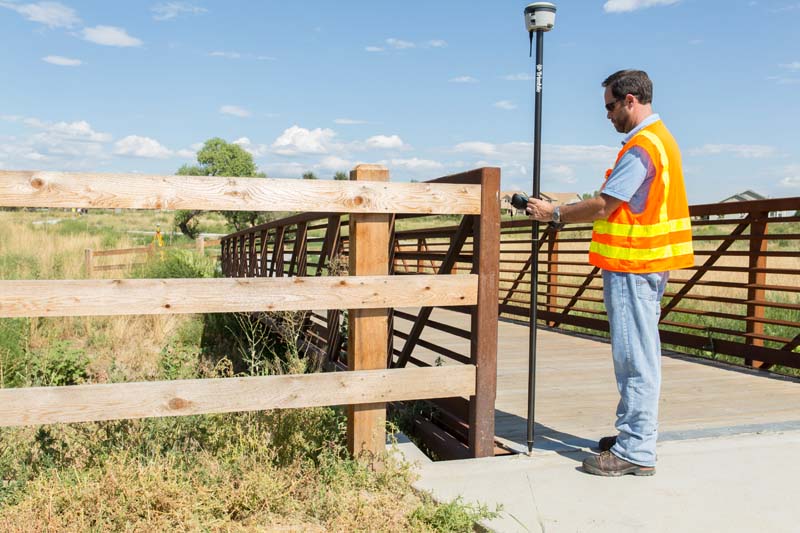
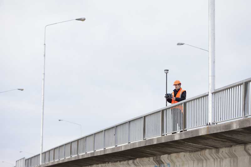
Seiler Geospatial leverages Trimble technology to support safe, efficient, and accurate bridge planning, construction, and maintenance. From real-time visualization to collaborative geospatial data workflows, our solutions help you bridge the gap—boosting productivity while prioritizing safety and structural integrity.


From Design To Maintenance, Seiler Geospatial Delivers

Streamline every phase of your bridge project with accurate geospatial data, real-time insights, and proven tools for design, construction, inspection, and long-term maintenance.

Planning and design

Trust your design by trusting the data behind it. Whether you're planning a cantilever, girder, or complex span, Seiler Geospatial—powered by Trimble—connects the physical and digital worlds to streamline site analysis, automate feature extraction, and optimize route selection. Efficiently perform topographic, cadastral, and bathymetric surveys using Trimble's high-precision tools like the R980 GNSS receiver, S9 robotic total station, and Trimble Access software. Bring all data into Trimble Business Center to create accurate 3D models and establish control networks with full 3D adjustments. Keep your teams connected with Trimble Connect for seamless data exchange between the field and office, ensuring precision from concept to construction.

Construction

Seiler Geospatial supports connected construction with Trimble solutions that deliver consistent, high-accuracy measurements and rugged field performance. Keep projects on track with automated workflows for stakeout, as-builts, volume verification, and real-time reporting. Easily sync and share updated design data with your crews, and use augmented reality to visualize and verify plans directly on site. By connecting field data back to the constructible model, you enable seamless collaboration across stakeholders through a shared, accurate data environment—boosting efficiency and confidence throughout every phase of bridge construction.

Operations

Seiler Geospatial simplifies bridge operations by delivering meaningful, real-time data through Trimble-powered solutions. Efficiently collect accurate information on physical assets—without lane closures—while gaining insight into their location, condition, and performance. With a single, integrated platform, teams can share data faster, automate asset collection and reporting, and stay on budget. Reliable monitoring sensors ensure continuous structural integrity checks, combining real-time analysis, visualization, and alerts to help maintain both safety and productivity across your infrastructure.

Maintenance

Seiler Geospatial, powered by Trimble technology, empowers bridge owners and engineers with the tools to capture high-accuracy asset data, assess structural health, and make informed, proactive maintenance decisions. Stay ahead of potential issues—maintain smarter with Seiler Geospatial.

Built For Every Phase Of Your Bridge Project

From GNSS and scanning to monitoring and data collection, Seiler Geospatial offers a full suite of Trimble solutions to support design, construction, inspection, and ongoing maintenance—ensuring accuracy, safety, and efficiency at every step.
Please contact us to learn more about related product solutions.

Get Started Today

Discover how Seiler can help optimize your project. Contact us to learn more or request a demo.