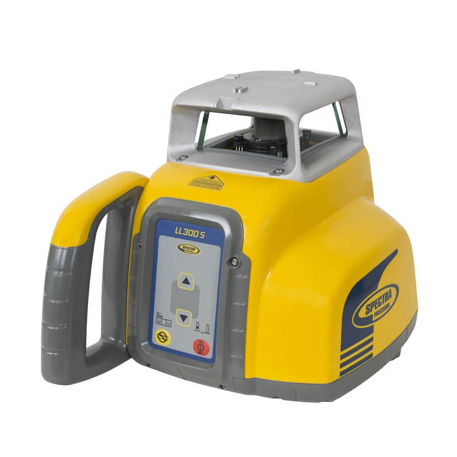
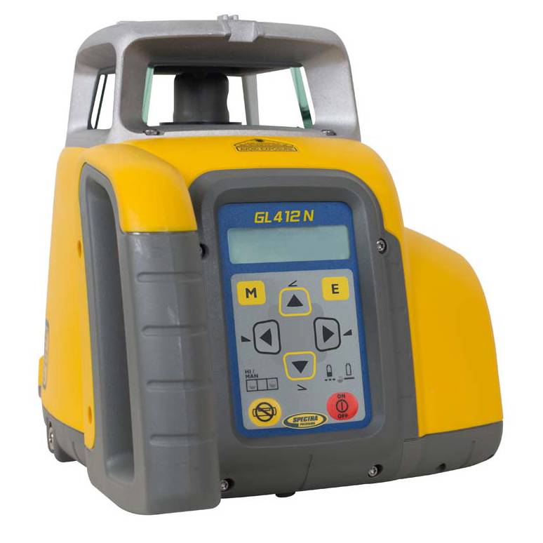
$1,185.00
Spectra Precision
The most rugged, automatic, self-leveling laser level available.
Seiler Geospatial helps you lay the foundation for reliable operations with Trimble geodetic control solutions. From surface to subsurface, our tools provide the accuracy and stability needed to support control networks and future construction with confidence. With interoperable data and high-precision instrumentation, you’ll know exactly where you stand—at every phase of the project.


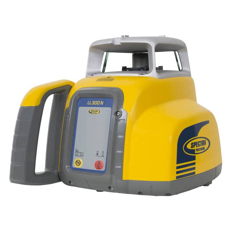
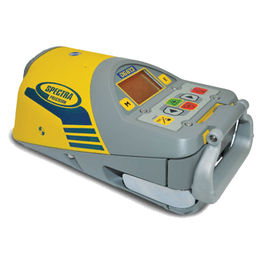
$1,185.00
Spectra Precision
The most rugged, automatic, self-leveling laser level available.
$1,890.00
Spectra Precision
Designed for longer range measurements across your entire site.
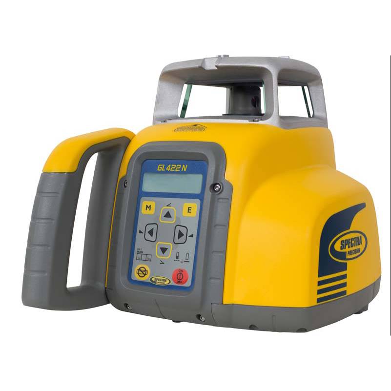
$1,200.00
Spectra Precision
Automatic self-leveling laser level including grade buttons.
$3,475.00
Spectra Precision
When you need even more range and versitility from a grade laser.
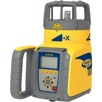
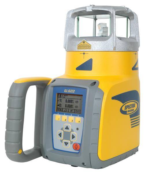
$3,000.00
Spectra Precision
Rugged dual grade laser with self-leveling, automatic grade match, and a long range remote control.
$2,845.00
Spectra Precision
This single grade laser eliminates time consuming and error-prone calculations.
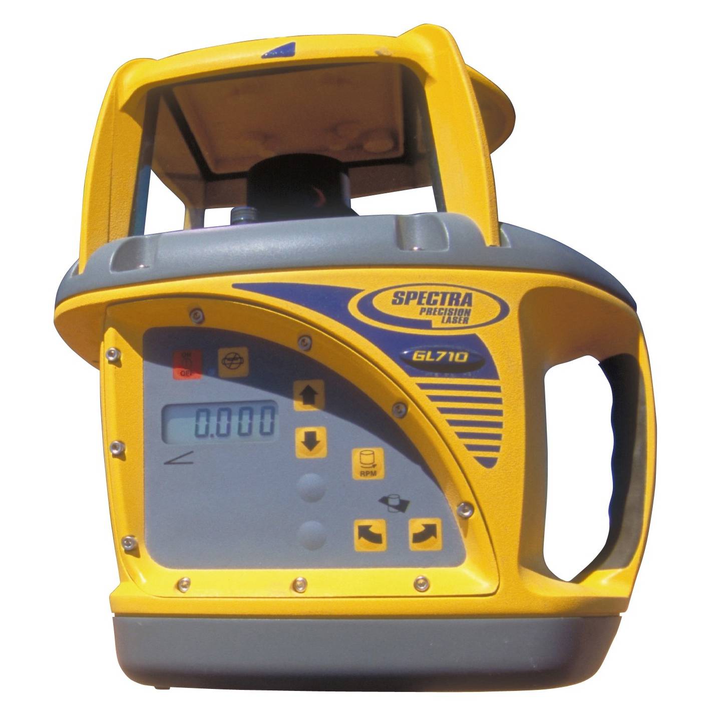
$5,700.00
Spectra Precision
Built for Grade Professsionals, the GL700 Series of grade lasers are the most advanced on the market.
$3,790.00
Spectra Precision
Easy-to-use, full featured automatic grade laser.
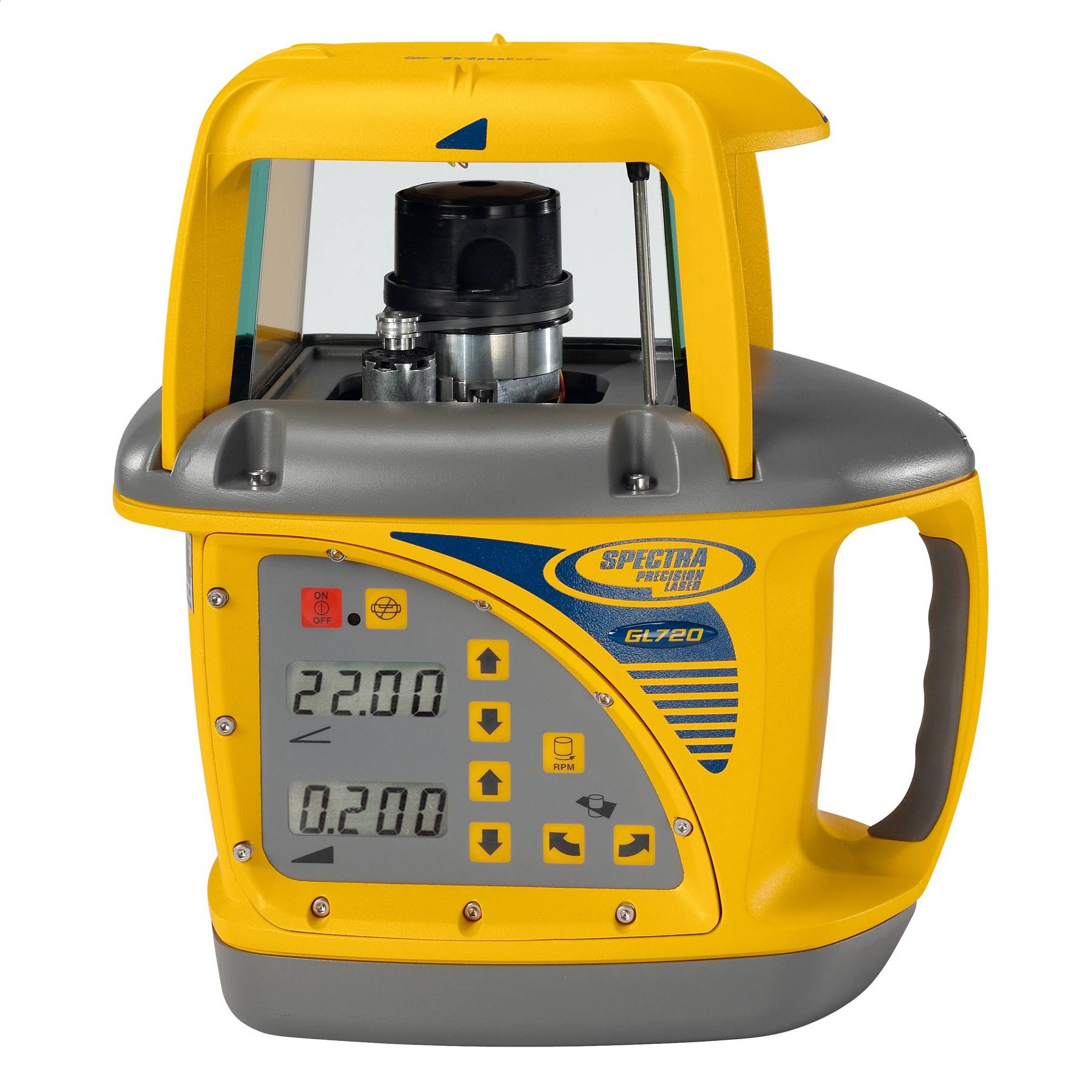
$8,950.00
Spectra Precision
The professionals choice for quick and highly accurate set-ups for any grade application.
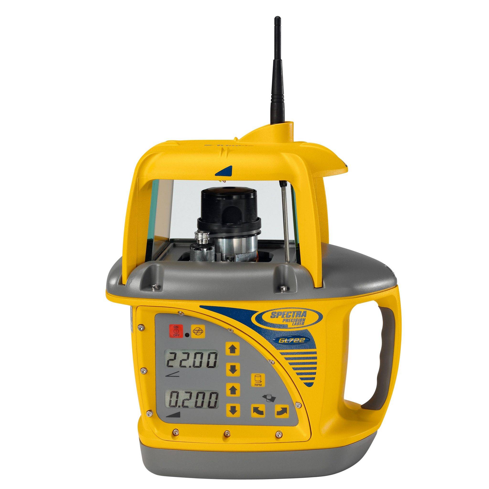
$6,900.00
Spectra Precision
One of the best dual grade lasers on the market, right after the GL722.
$6,495.00
Spectra Precision
When only the best pipe laying laser will do.
Price range: $5,800.00 through $6,254.00
Spectra Precision
Easy set-up pipe laser, even in the tightest inverts.
Discover how Seiler can help optimize your project. Contact us to learn more or request a demo.