
Trimble
Field-to-finish survey CAD Software.
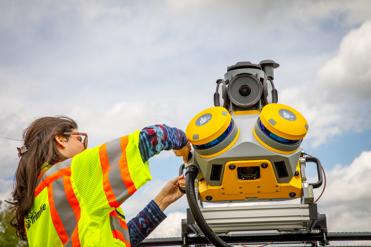
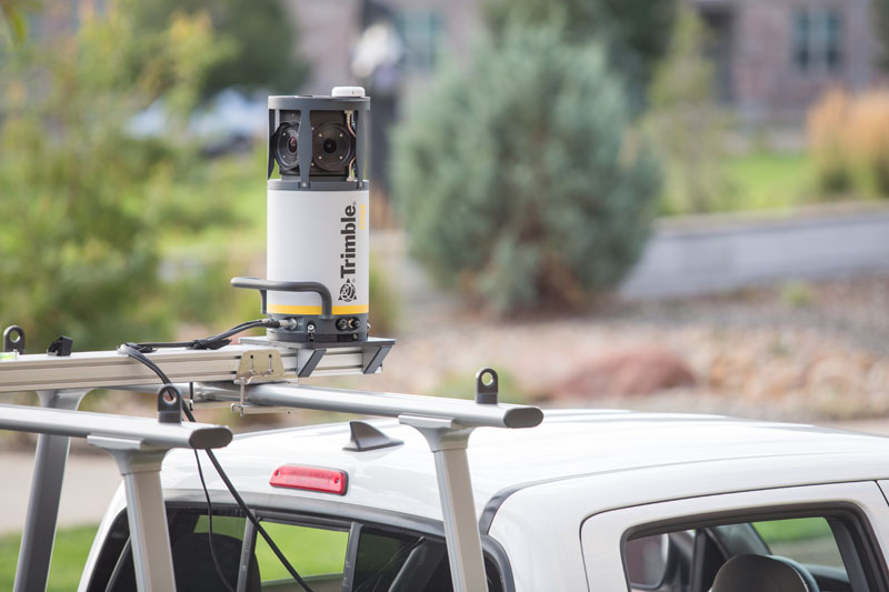
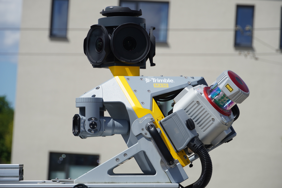
Seiler Geospatial provides mobile mapping solutions for efficient and accurate building inspections and assessments. Using advanced LiDAR, GNSS, and 3D imaging technologies, our tools quickly capture detailed, high-resolution data of building structures, facades, and interiors. This enables accurate modeling, documentation, and analysis of building conditions without the need for manual measurements. Seiler Geospatial’s mobile mapping solutions streamline the process of evaluating building integrity, identifying issues, and supporting renovation or maintenance projects, ensuring better decision-making and optimized building management throughout the lifecycle.
Trimble
Field-to-finish survey CAD Software.
Discover how Seiler can help optimize your project. Contact us to learn more or request a demo.