Trimble
Unlock the full potential of your geospatial monitoring data.
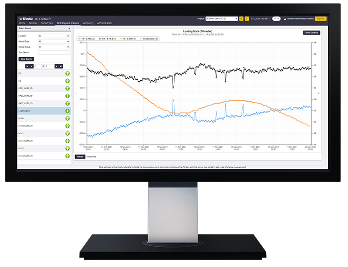
Seiler Geospatial offers advanced monitoring solutions for environmental hazards, enabling the detection and analysis of potential risks in real time. Using high-precision GNSS, geotechnical sensors, and 3D laser scanning, our technology tracks environmental changes such as soil movement, flooding, and air quality shifts, providing valuable insights for early warning systems. Whether monitoring landslides, floods, or other natural hazards, Seiler Geospatial’s solutions help mitigate risks, ensure public safety, and support proactive management of environmental challenges. With our reliable monitoring tools, you can take timely action to protect both the environment and the communities at risk.
Discover how Seiler can help optimize your project. Contact us to learn more or request a demo.