ArcGIS Pro
ArcGIS Pro is Esri’s premier desktop GIS application, offering a powerful, modern, and integrated environment for spatial data analysis, mapping, and visualization. Designed for professionals across industries—from urban planning and environmental science to utilities and public safety—ArcGIS Pro empowers users to create, manage, and share geospatial data in both 2D and 3D.
Key Features
1. Advanced Visualization & Cartography
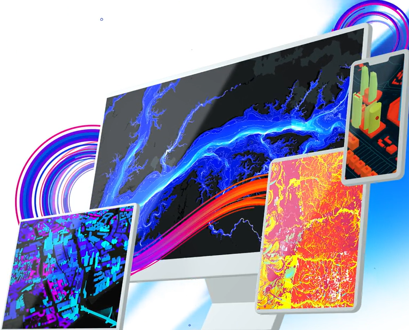
ArcGIS Pro supports simultaneous 2D and 3D views, enabling users to explore data through interactive scenes and layouts. Its advanced symbology tools and high-performance rendering allow for the creation of publication-quality maps. Additionally, the AIX export capability facilitates seamless integration with Adobe Illustrator for enhanced design workflows.
2. Imagery & Remote Sensing
ArcGIS Pro provides robust tools for visualizing, managing, and analyzing large collections of imagery and raster data from drones, satellites, lidar, and more.
3. Data Management & Integration
ArcGIS Pro ensures data integrity with a complete set of tools for storing, editing, and managing various forms of spatial data—including big and real-time data. It seamlessly integrates tabular data, drawings, cloud data warehouses, and more, ensuring the inclusion of various datasets and formats.
4. Sharing & Collaboration
ArcGIS Pro enables users to quickly author and discover content and digital maps within the application. It allows for seamless access to cloud-based content such as the ArcGIS Living Atlas of the World and facilitates sharing work throughout the ArcGIS platform, including ArcGIS Online and ArcGIS Enterprise.
5. Customization & Extensibility
With the ArcGIS Pro SDK for .NET, users can create, customize, and perfect their ArcGIS Pro environment. This extensibility supports the development of add-ins and configurations tailored to specific workflows and organizational needs.
Why Choose ArcGIS Pro?
ArcGIS Pro is a forward-thinking GIS solution that combines powerful analytical tools with intuitive design capabilities. Its integration with the broader ArcGIS ecosystem ensures that users can efficiently manage and share spatial data across platforms. Whether you’re conducting complex analyses, creating detailed maps, or collaborating with teams, ArcGIS Pro provides the tools necessary to transform data into actionable insights.

