ArcGIS GeoBIM
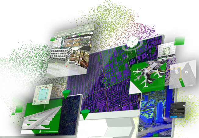
ArcGIS GeoBIM connects Esri’s GIS technology with Autodesk’s BIM tools, enabling AEC professionals to visualize and manage infrastructure projects in a real-world spatial context. By integrating ArcGIS with Autodesk Construction Cloud and BIM 360, users can access 3D models, maps, and project data in one secure, cloud-based platform.
This powerful solution supports digital twin workflows, improves collaboration across disciplines, and enhances decision-making throughout the asset lifecycle—from design and construction to operations and maintenance. ArcGIS GeoBIM brings together spatial insights and detailed building data to streamline workflows, reduce risks, and deliver better project outcomes.
Key Benefits:
- View BIM models in geographic context with 3D web apps
- Enable digital twin solutions for real-time asset monitoring
- Collaborate securely using linked GIS and Autodesk data
- Improve planning, design, and construction coordination
ArcGIS GeoBIM is your integrated path to smarter, more efficient infrastructure delivery.