Windows 10 will end support on October 14th of 2025. After this date Windows 10 feature and security updates will cease and the devices will become less secure. Devices that will be affected are the Trimble TSC7, Trimble T7 and …

Windows 10 will end support on October 14th of 2025. After this date Windows 10 feature and security updates will cease and the devices will become less secure. Devices that will be affected are the Trimble TSC7, Trimble T7 and …

Some TSC5 units that upgraded from Android 11 to Android 13 (OS v03.00.04) experienced application crashes if the built-in GNSS subsystem did not have a good position fix. This issue was caused by an incompatibility between the GNSS driver and the Android 13 Location...

The TSC5 recently had an Android 13 OS update released to many users. Unfortunately, this release has caused stability issues on updated TSC5’s. The OS update has been pulled from distribution but some users may want to turn off automatic...
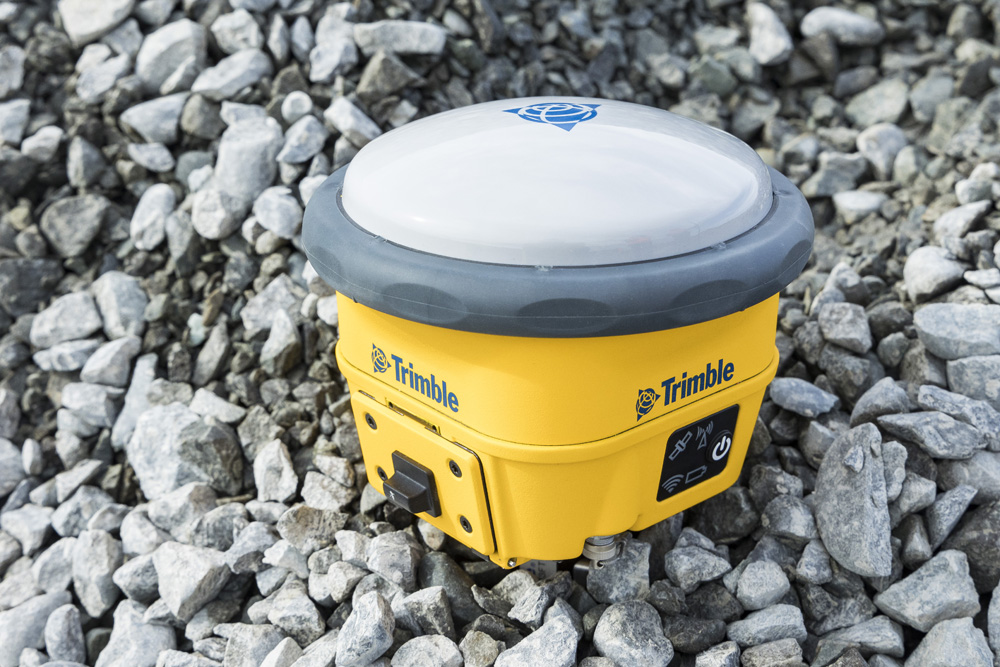
TRIMBLE SURVEY GNSS FIRMWARE WEEK NUMBER ROLL OVER (WNRO) ISSUE Description and cause of the issue Trimble GNSS receiver firmware versions <4.30 have reached the end of their lifespan as of 20 August 2023 and should no longer be used. Receivers with firmware...
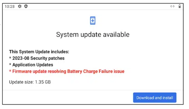
TSC5/Ranger5 Critical Update For Battery Charging Issue Trimble has issued a critical operating system update for all TSC5/Ranger 5 data collectors. This update prevents a battery charge failure issue in most TSC5’s and Ranger 5’s. This operating system update...
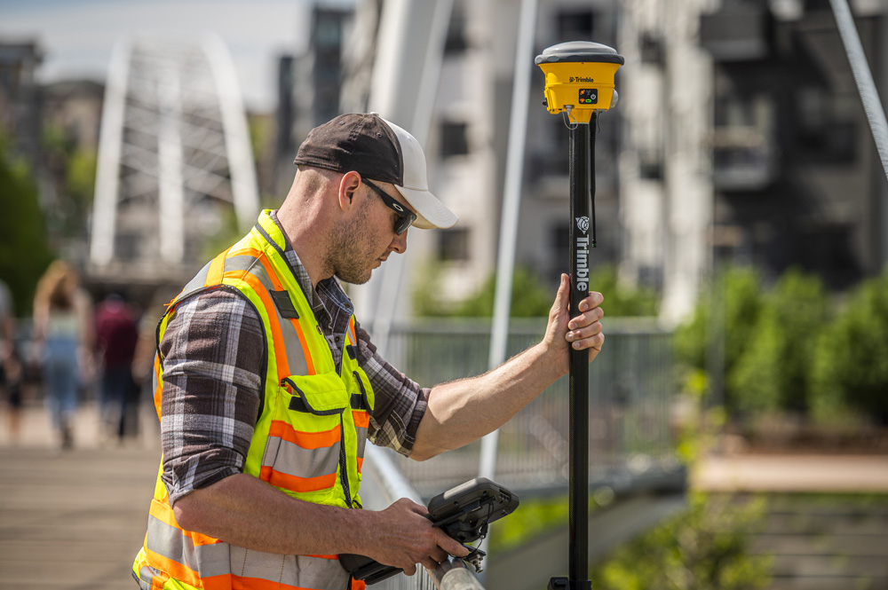
Once only a slogan scrawled on GNSS developers’ whiteboards, the mantra of “centimeter accuracy for everyone, everywhere” is coming true. The ability to achieve survey-grade (2cm horizontal and 5cm vertical) GNSS-derived positions without post-processing, a base...
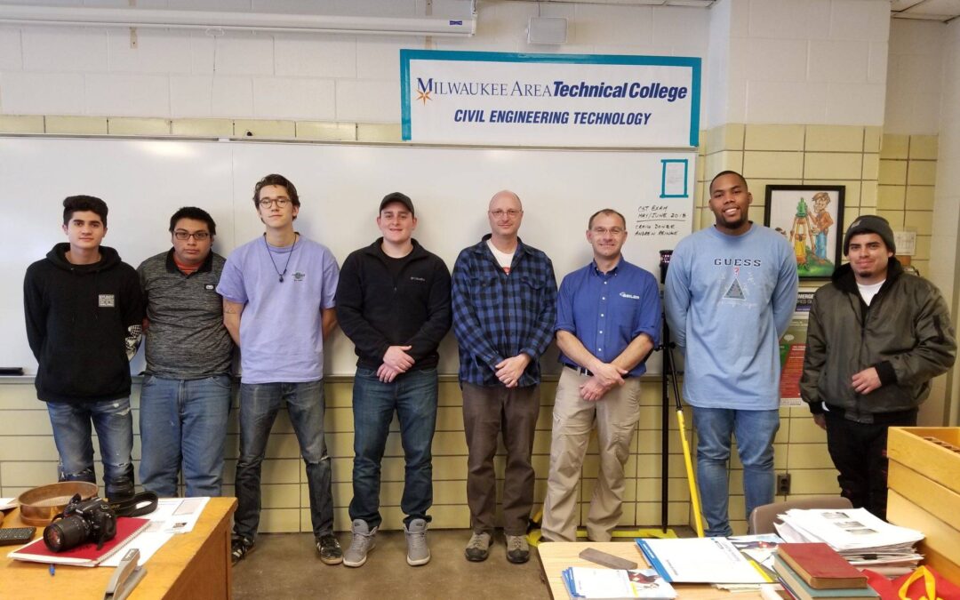
Seiler provides equipment to surveying programs in Midwest schools | NSPS News & Views By: Lisa Van Horn, NSPS President NSPS is very interested in identifying ways assist to the schools teaching surveying education. An example of how this can work an arrangement...
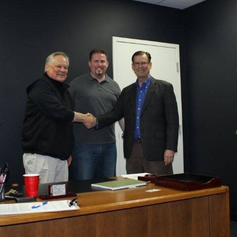
Effective May 13, 2019 - STL -Seiler Instrument & Manufacturing Company Inc. acquired the assets of Midwest Survey Supply and Michigan Surveyors Supply operations in Detroit and Lansing, Michigan. The offices in Detroit and Lansing will add to the existing...

Discontinuing support for Trimble Connected Community Trimble® Access™, AccessSync support for Trimble Connected Community (TCC) is being discontinued. All Geospatial Organizations using the TCC platform for AccessSync file synchronization should transition to using...

GPS Week Number Rollover (WNRO) is coming up April 6, 2019, at GPS Midnight. A GPS week rollover will occur at the end of the GPS day on 6 April 2019, at which time the GPS week will transition from week 2047 to 2048.Trimble has posted an excellent web page reference...