Mapping & GIS
At Seiler Geospatial, we equip surveyors and mapping professionals with cutting-edge technology, expert guidance, and innovative solutions. From high-precision GNSS receivers and robotic total stations to advanced 3D laser scanning and GIS tools, we provide the essential tools to capture accurate data with efficiency.
Whether you’re focused on land development, infrastructure, or geospatial data collection, our reliable solutions optimize workflows, enhance precision, and increase productivity. With comprehensive training, ongoing support, and unmatched service, Seiler Geospatial ensures you stay at the forefront of an ever-evolving industry.


Mapping & GIS: Powering Precision in Every Project
Build with confidence using high-precision solutions and seamless workflows from Seiler Geospatial.
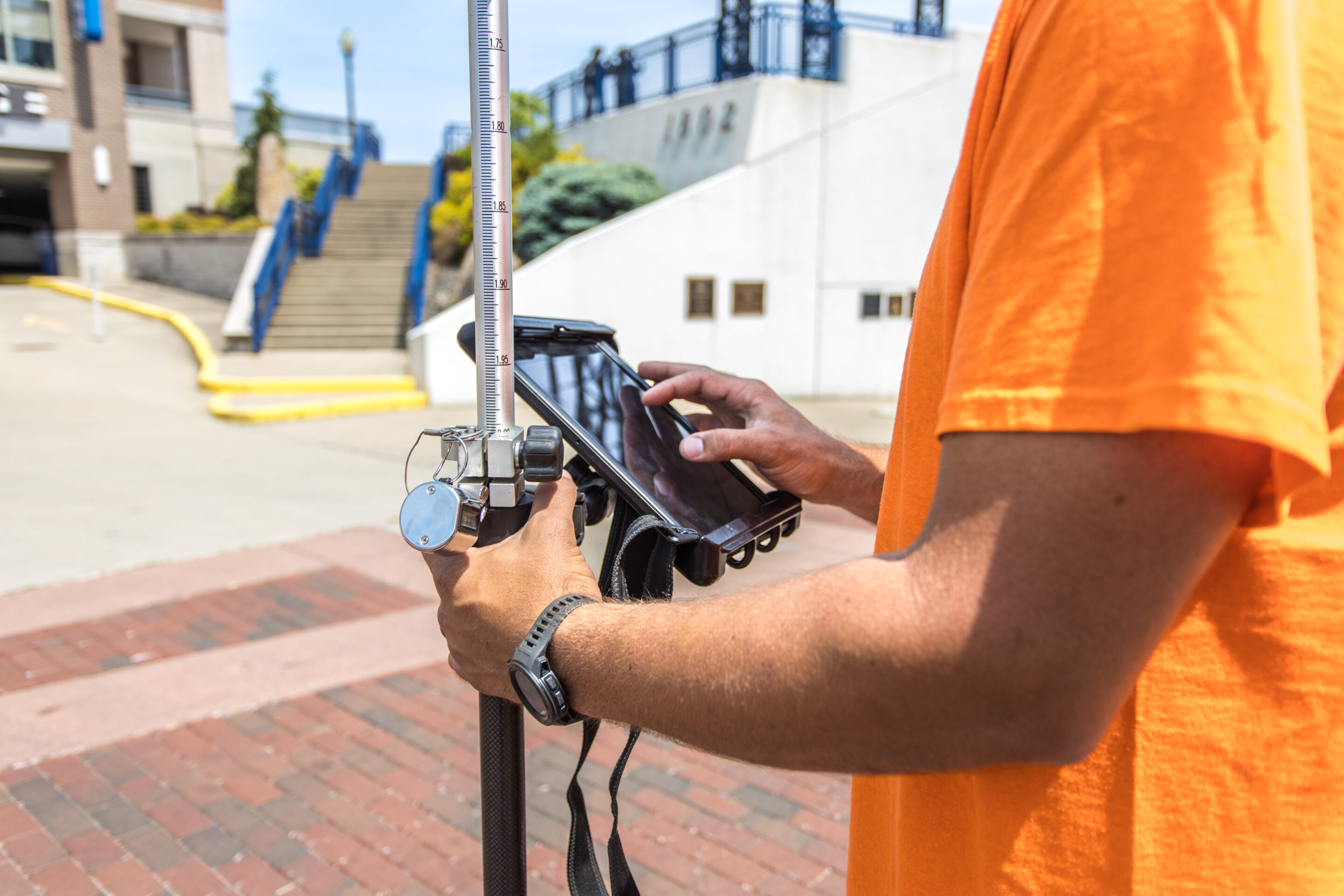
Local Government
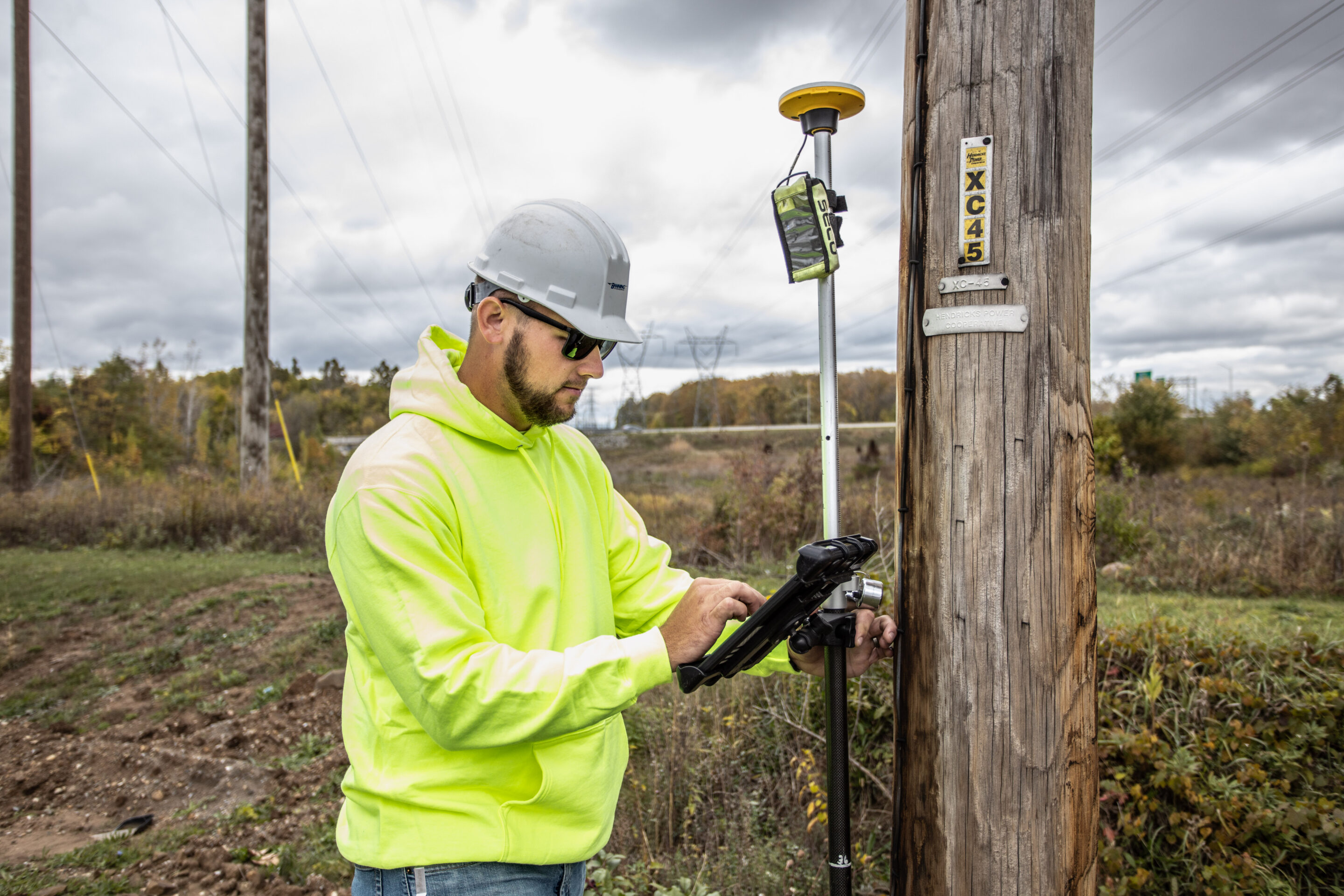
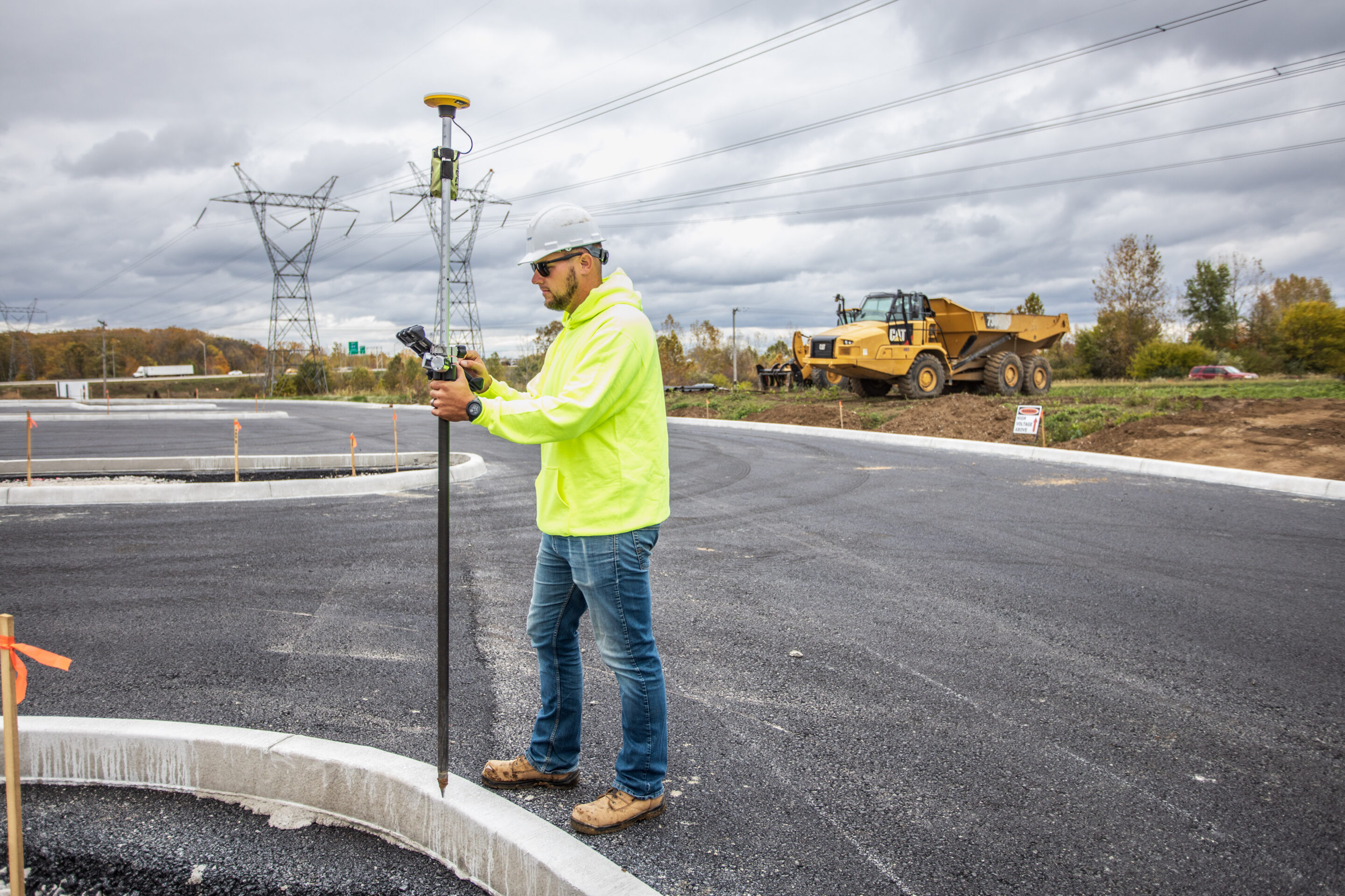
Utility & Energy
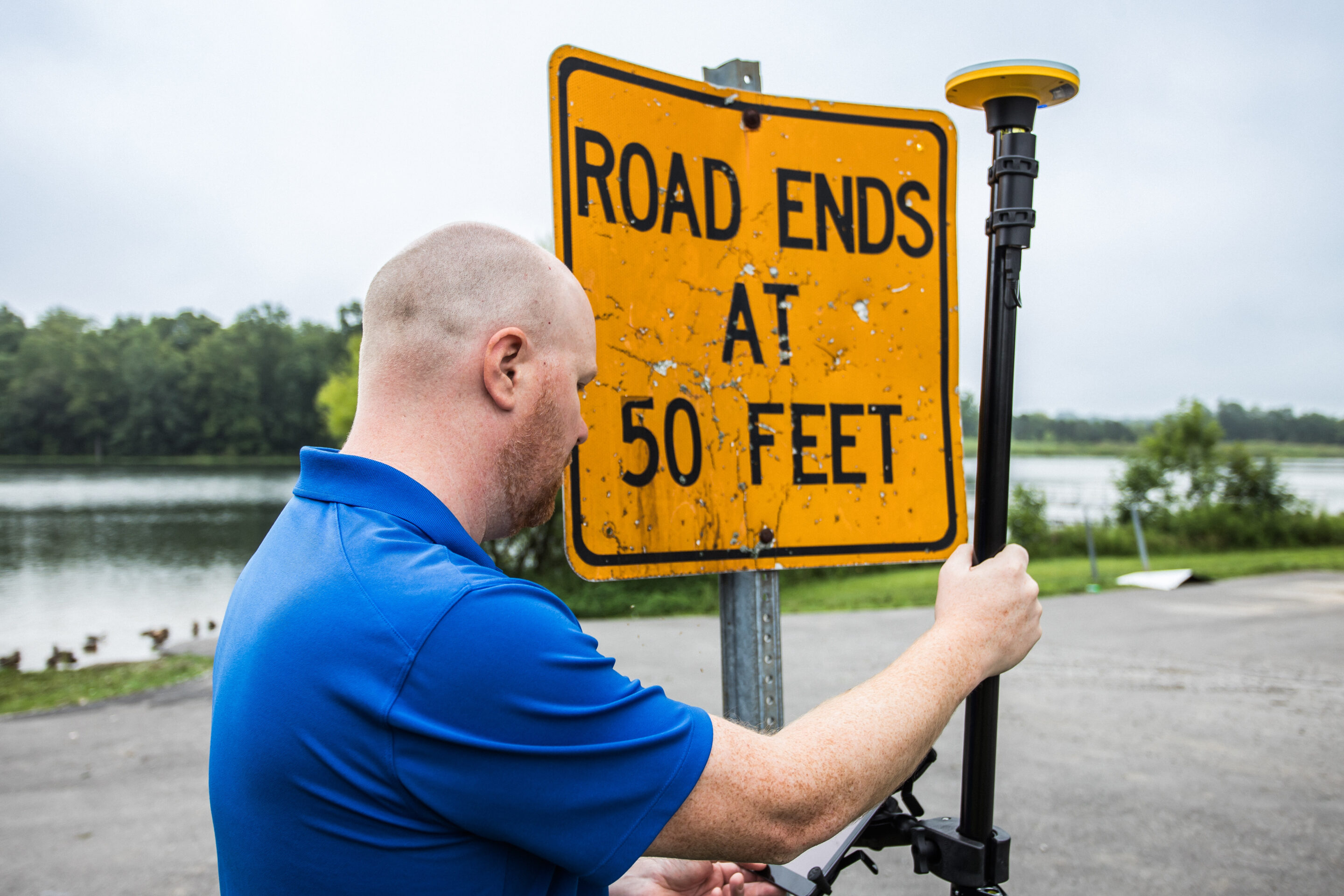
Environmental
Others
Have Questions?
"*" indicates required fields
Quick Links
Subscribe
Get the latest industry insights, product launches, upcoming events, training opportunities, and exclusive promotions delivered right to your inbox.