Construction

At Seiler Geospatial, we provide construction professionals with advanced technology, expert support, and innovative solutions to enhance project efficiency and precision. From high-accuracy GNSS receivers and robotic total stations to 3D laser scanning and GIS tools, we offer the essential equipment needed to capture accurate data and streamline workflows.

Whether you’re working on site development, infrastructure projects, or construction management, our trusted solutions improve accuracy, boost productivity, and ensure successful project delivery. With expert training and ongoing support, Seiler Geospatial helps you stay ahead in the fast-paced construction industry.

Cutting-Edge Technology

High-precision GNSS receivers, total stations, and reality capture.

Optimized Workflows

Streamline processes & reduce downtime with GIS tools and solutions.

Expert Support & Training

Training & support to stay at the forefront of the construction industry.

Construction: Advanced Solutions for the Construction Industry

Build with confidence using high-precision solutions and seamless workflows from Seiler Geospatial.

Digital Construction Survey

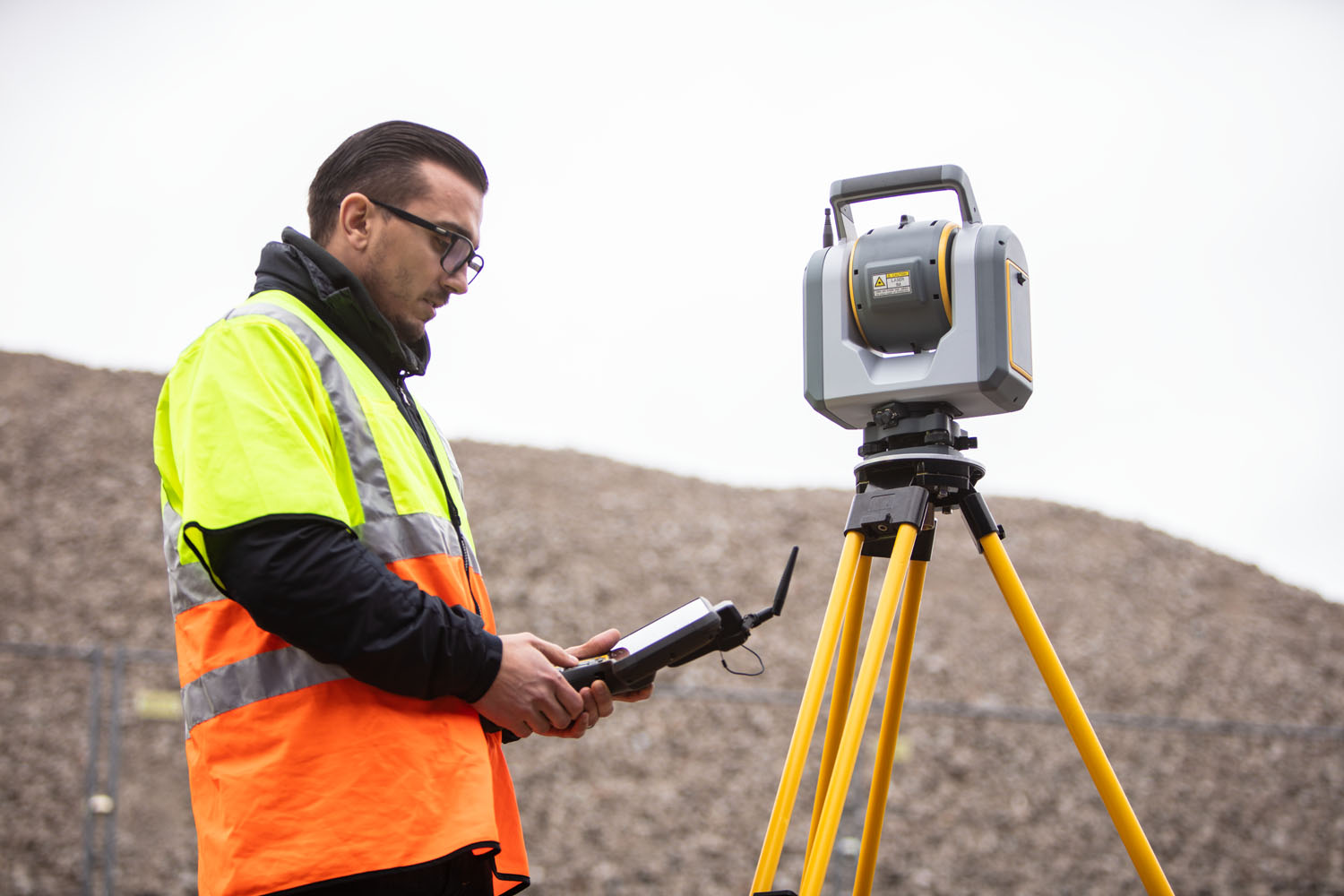
When time is critical - whether you’re collecting as-builts or setting out blast holes, drill patterns, or rock bolts - Trimble’s automated workflows are designed to help mine surveyors quickly and confidently perform multiple functions from a single instrument. Our solutions seamlessly integrate all geospatial data into one centralized source of truth, streamlining operations. Trimble technology also allows you to generate customizable progress reports and prepare 3D design models for enhanced accuracy. With Trimble, you can reduce rework and accelerate project completion, helping you build with speed and get paid sooner.

Positioning Assurance

With decades of experience in maintaining precise control over projects, Seiler ensures you meet tight tolerances and high expectations. Real-time positioning networks deliver continuous and accurate GNSS corrections to onsite survey equipment, machine control systems, and aerial mapping drones, providing all stakeholders with access to critical 3D positioning insights. Our solutions streamline operations and help you stay on track, even in fast-paced environments.

Deliverables & Reporting

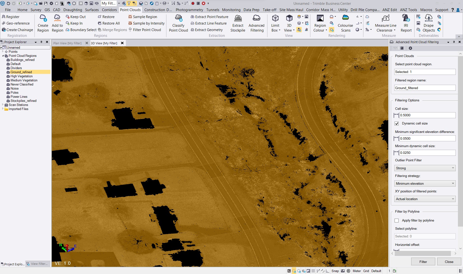
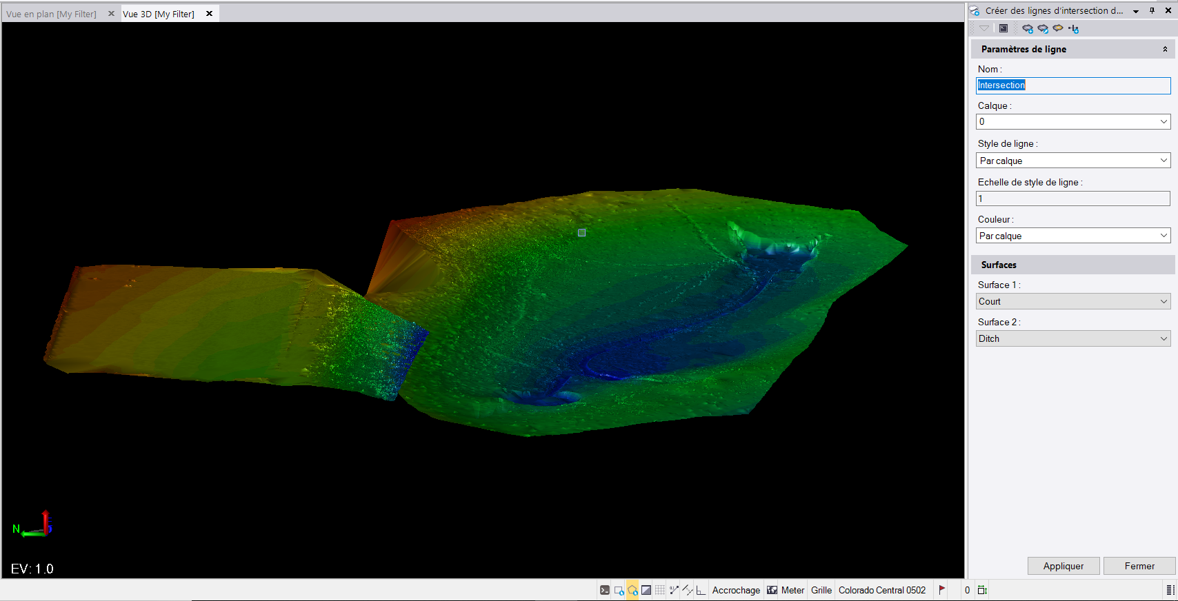
Our streamlined workflows and automation maximize productivity, ensuring you deliver projects on time and with precision. Our multi-function instruments allow you to quickly create and share comprehensive point clouds, eliminating the need for post-processing. By combining your survey data into one office software, you can easily calculate and generate detailed volumetric and as-built reports. With Seiler, you can extract more valuable insights from your data and provide stakeholders with the critical details they need about on-site progress.

Geodetic Control

GNSS and optical instruments deliver highly accurate geospatial data, ensuring continuous and reliable reference positioning for mine control networks, both above and below ground. This precision gives you the confidence needed for future mine construction and operations. With office software, you can perform rigorous 3D network adjustments using all your survey data, providing the interoperability and accuracy necessary to maintain control throughout every phase of mining.

Connected Workflows

Streamline construction survey workflows by connecting mine design to field and office operations through Seiler Geospatial's connected workflow and common data environment. Effortlessly share design information across multiple teams and receive as-built surveys instantly for client delivery. Enhance visibility, collaboration, and decision-making with shared geospatial data that ensures all stakeholders, including engineering, geotechnical, and planning teams, stay informed every step of the way.

Have Questions?

"*" indicates required fields

This field is for validation purposes and should be left unchanged.

Quick Links

Subscribe

Get the latest industry insights, product launches, upcoming events, training opportunities, and exclusive promotions delivered right to your inbox.

This field is for validation purposes and should be left unchanged.