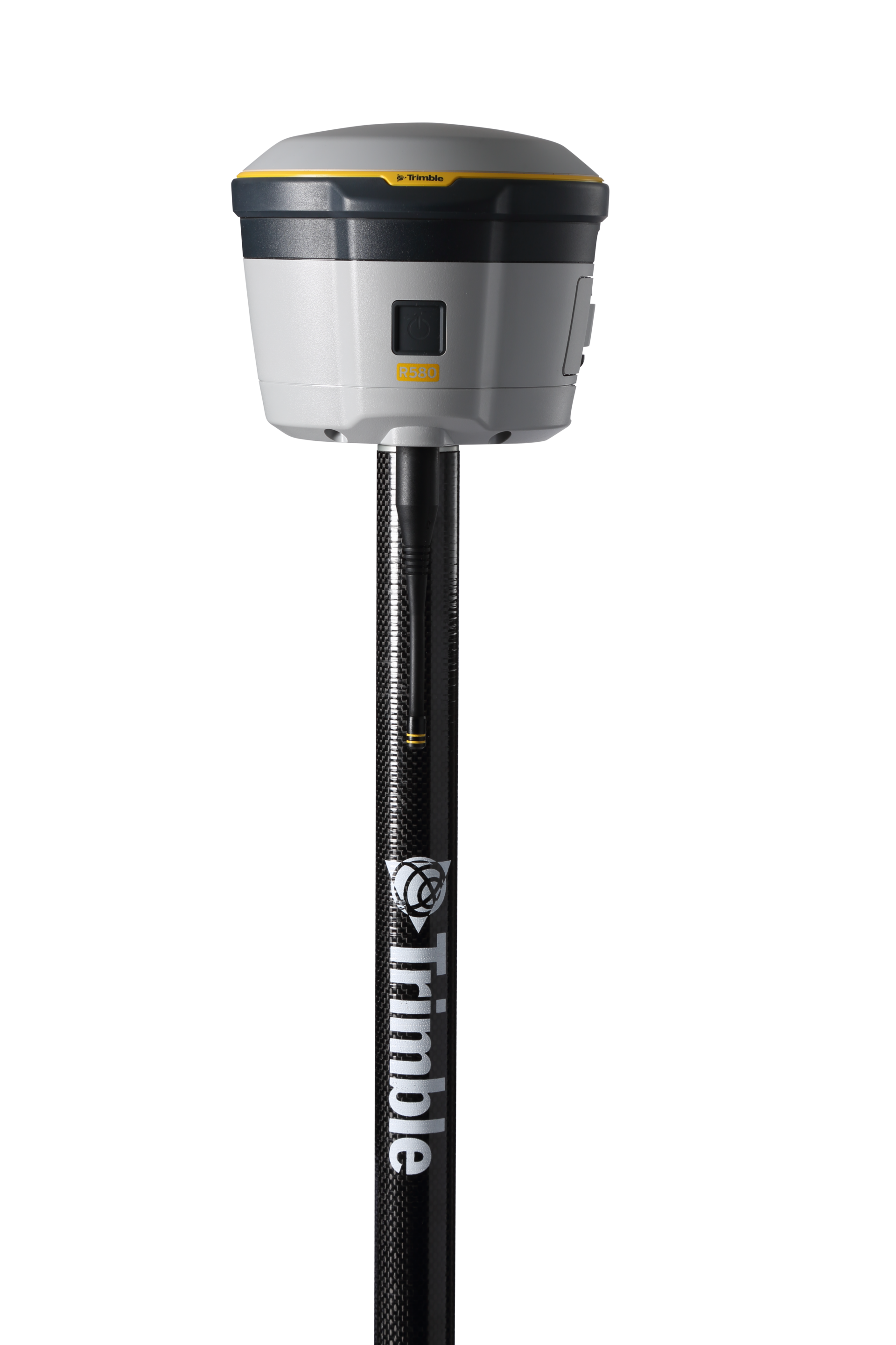
Trimble
Proven, reliable positioning with industry-leading technology.
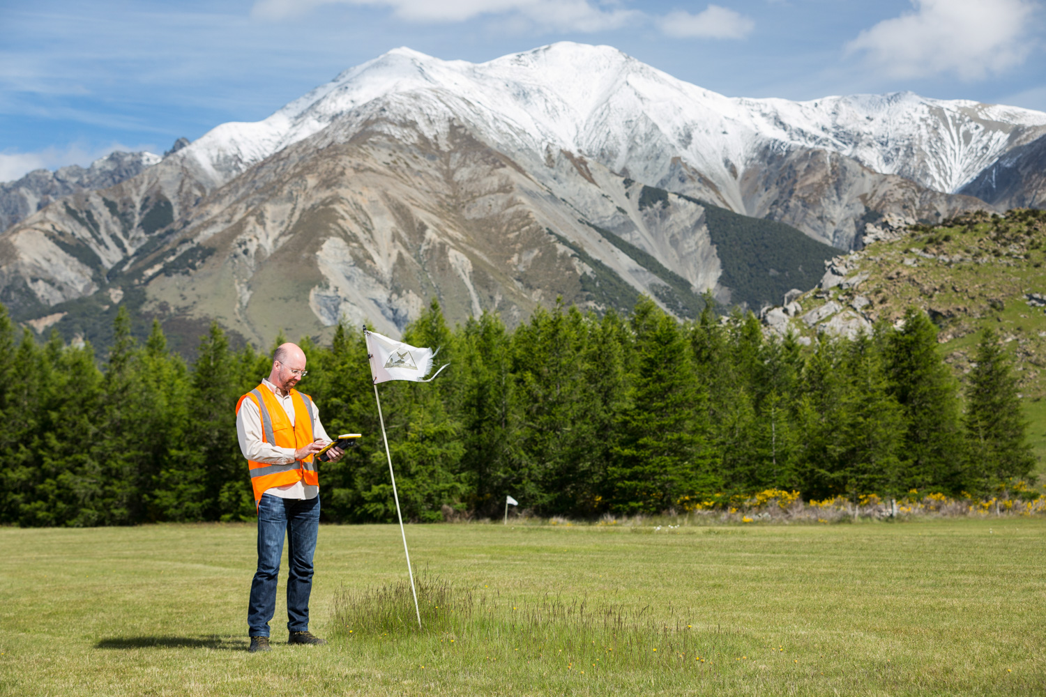
For environmental professionals, advanced mapping and GIS technologies are essential for monitoring ecosystems, tracking contamination, and supporting sustainable resource management. By integrating high-resolution mapping with dynamic geospatial data, these solutions empower you to assess natural habitats, detect environmental hazards, and drive effective conservation and remediation efforts.

Trimble
Proven, reliable positioning with industry-leading technology.
$430.00
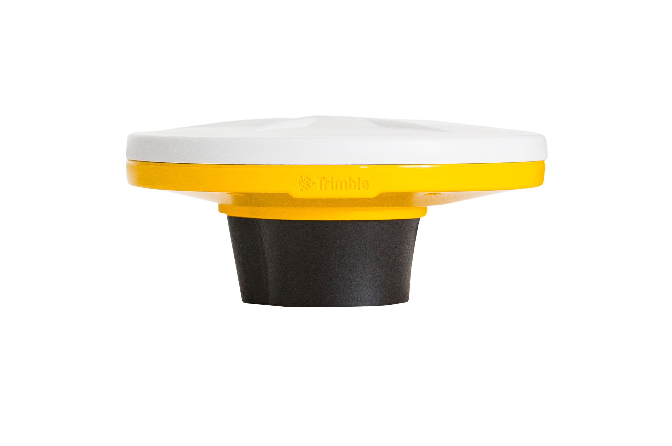
Trimble
Lightweight, high-precision GNSS receiver designed for the Trimble Catalyst™ positioning service.
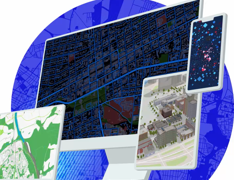
Esri
Esri’s cloud environment, where Seiler builds all of the databases and apps for our clients.
Esri
Desktop software for GIS Analysts, developers, and everyday users.
Esri
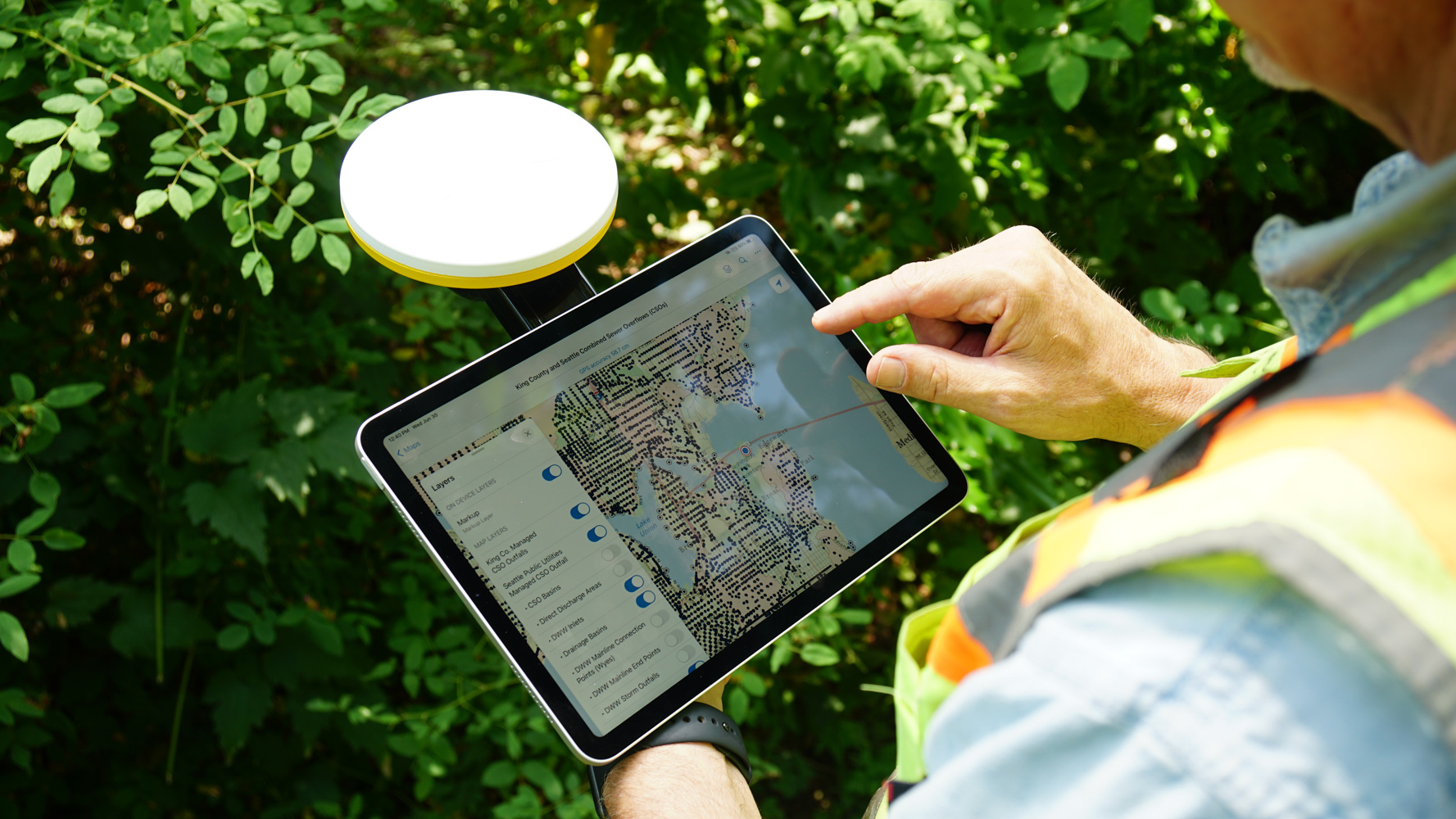
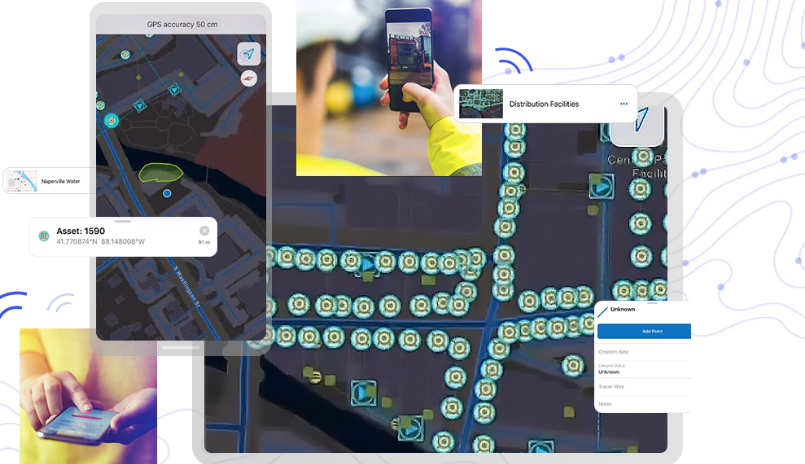
Mobile data collection app that is integrated with Trimble hardware solutions
Esri
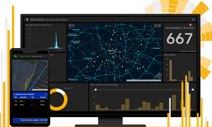
Map with dashboard capabilities for viewing data analytics. Created for users that need administrative views of data, project status, etc.
Esri
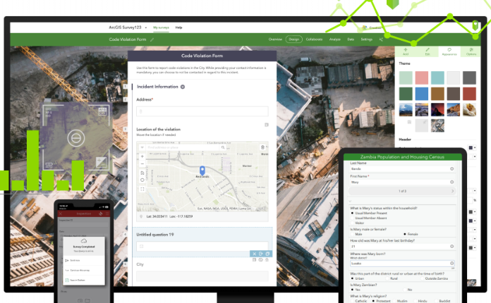
Survey form factor for collecting tabular data used when crowd sourcing & public outreach. Integrated with Trimble Hardware.
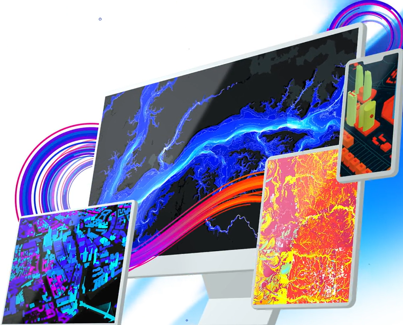
Esri
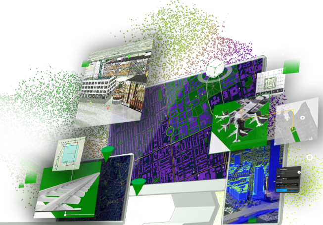
Autodesk integration for 3D visualization, Digital Twin apps and more.
Esri
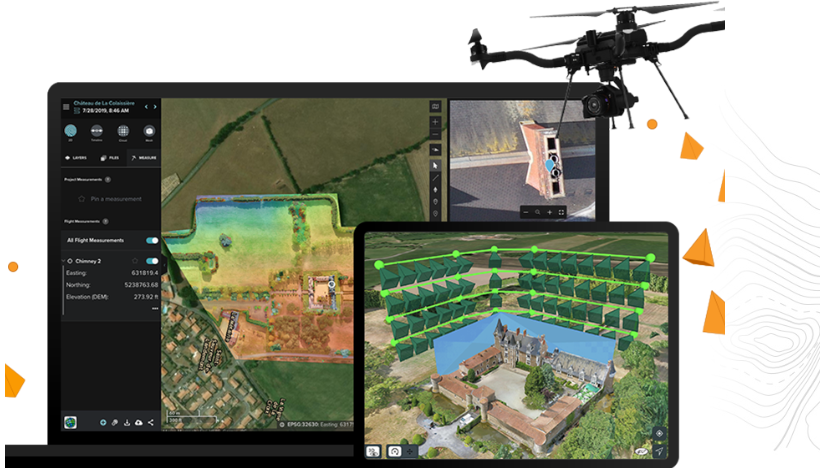
Drone planning, processing data, reality capture, etc

Esri
Interior 3D building plans for emergency management, office spaces, hotels & more.
Esri
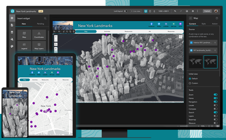
Web mapping application to view, edit, visualize data collected in the field or office
Discover how Seiler can help optimize your project. Contact us to learn more or request a demo.