Trimble
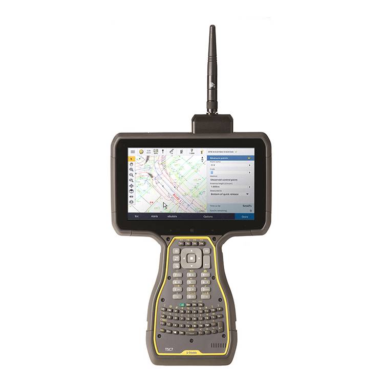
Combines the power of a tablet, laptop and rugged field controller.
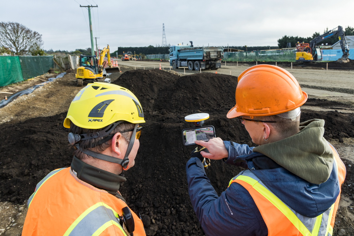
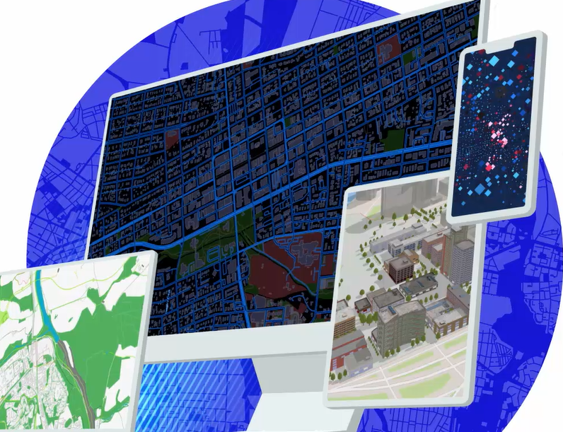
For Utility & Energy companies, advanced mapping and GIS technologies are indispensable tools for optimizing asset management and ensuring reliable service delivery. By integrating real-time geospatial data with high-resolution mapping, these solutions empower organizations to precisely monitor pipelines, substations, transmission lines, and other critical infrastructure, minimizing downtime and enhancing operational safety.

Trimble
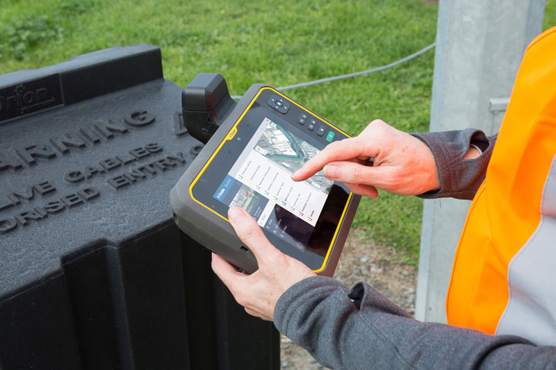
Combines the power of a tablet, laptop and rugged field controller.

Trimble
Field-to-finish survey CAD Software.
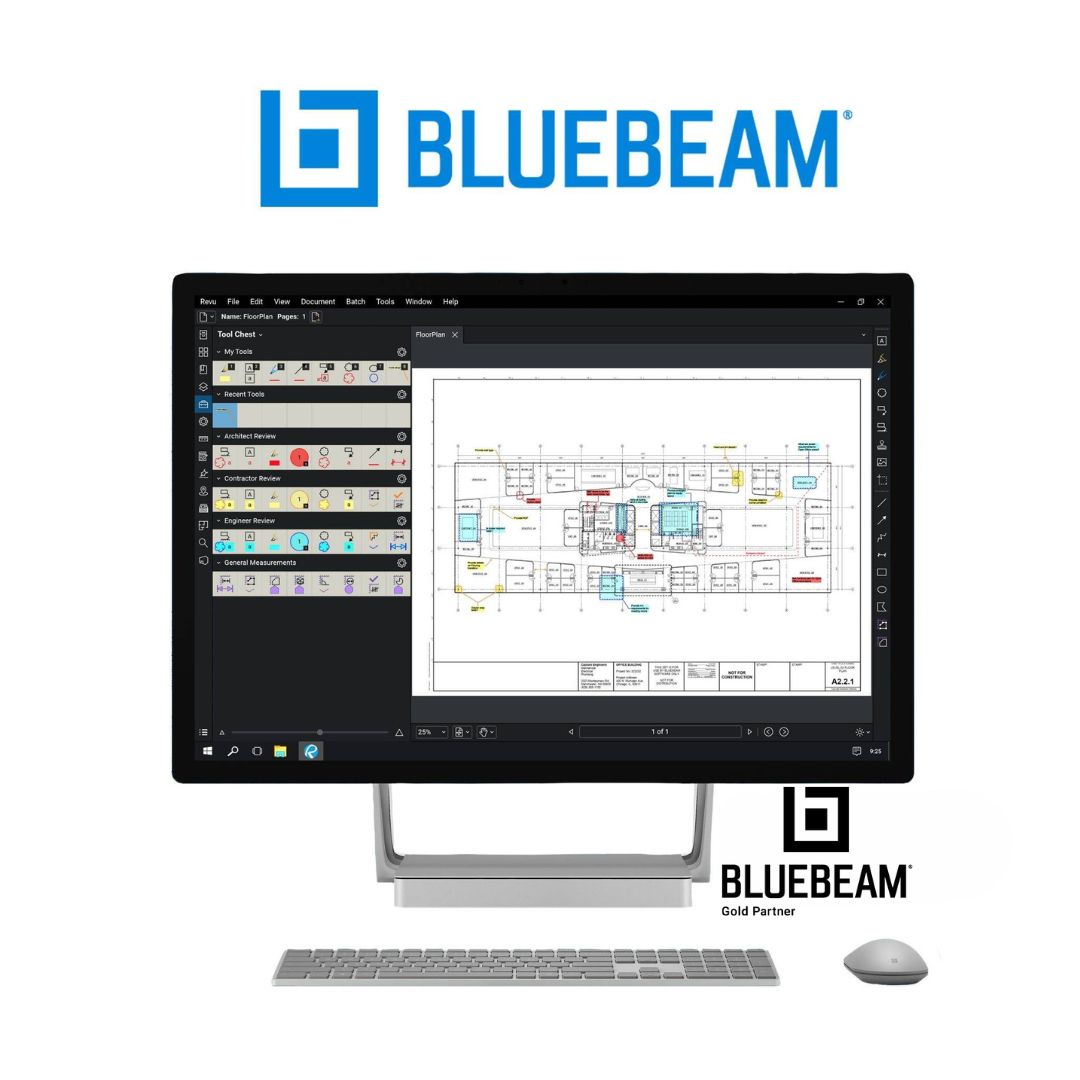
Bluebeam
PDF markup and editing software designed specifically for the AEC industry.
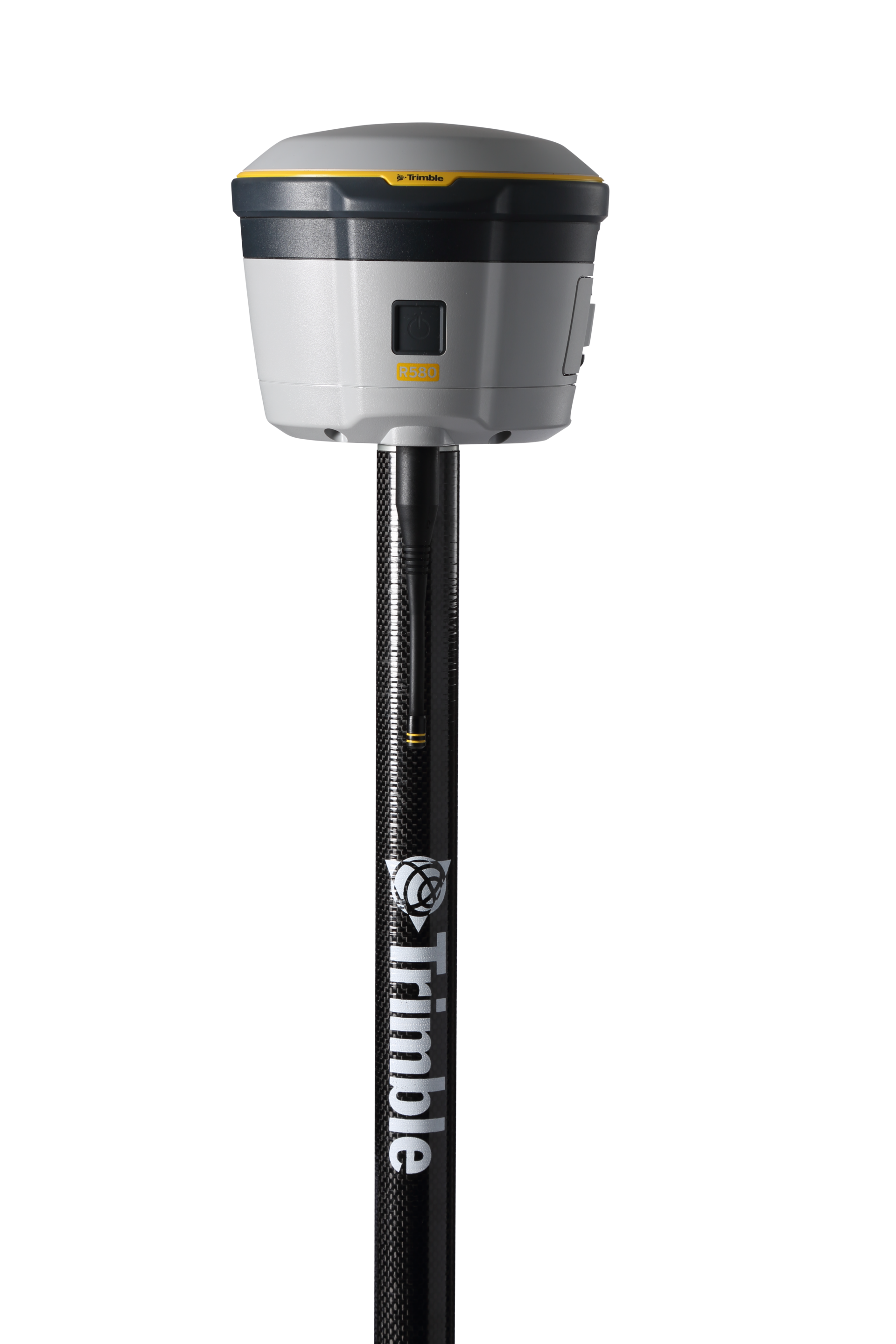
Trimble
Proven, reliable positioning with industry-leading technology.
$447.20
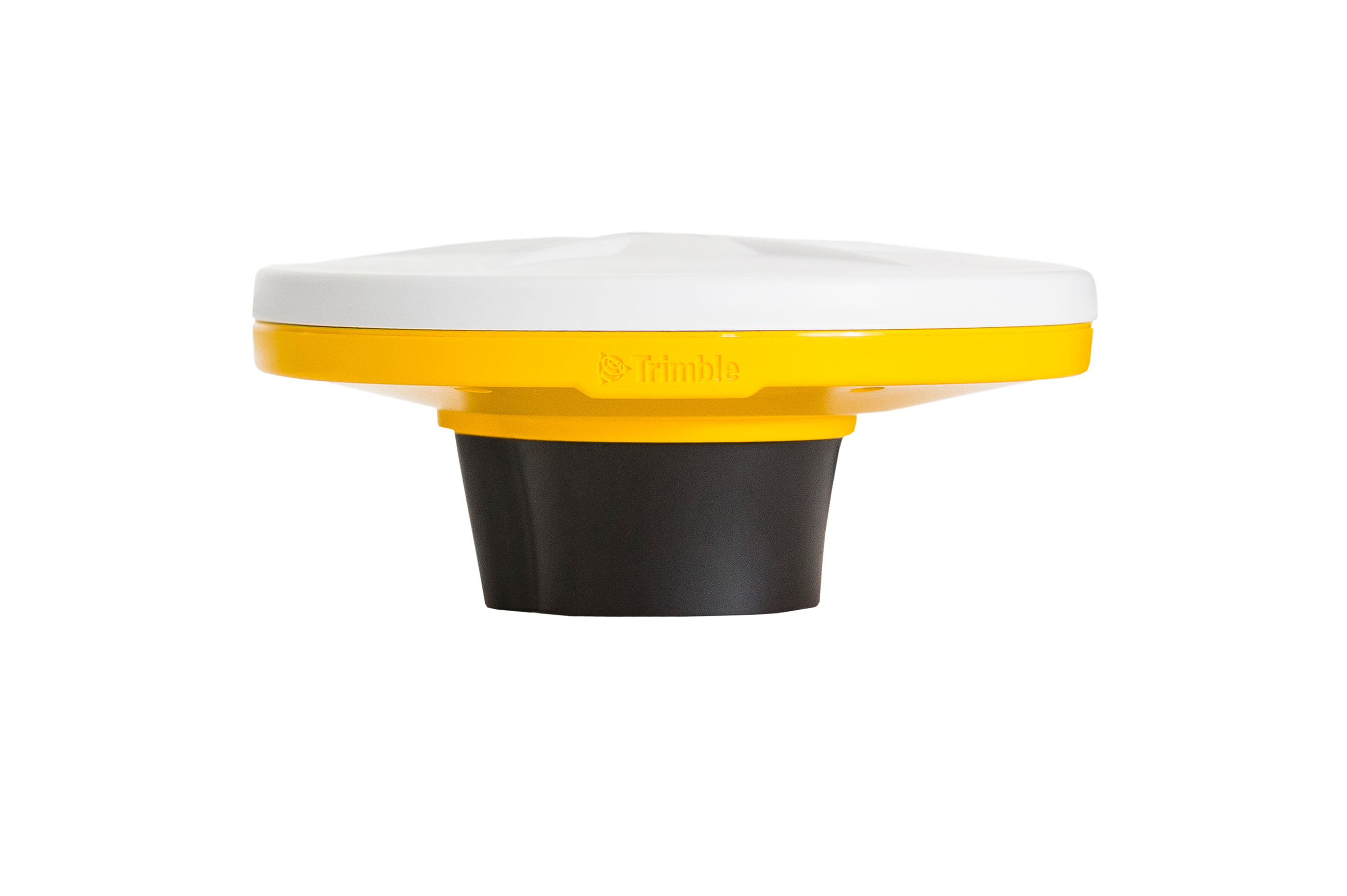
Trimble
Lightweight, high-precision GNSS receiver designed for the Trimble Catalyst™ positioning service.
Esri
Esri’s cloud environment, where Seiler builds all of the databases and apps for our clients.
Esri
Desktop software for GIS Analysts, developers, and everyday users.
Esri
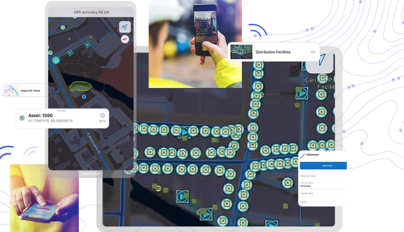
Mobile data collection app that is integrated with Trimble hardware solutions
Esri
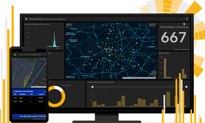
Map with dashboard capabilities for viewing data analytics. Created for users that need administrative views of data, project status, etc.
Esri
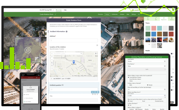
Survey form factor for collecting tabular data used when crowd sourcing & public outreach. Integrated with Trimble Hardware.
Esri
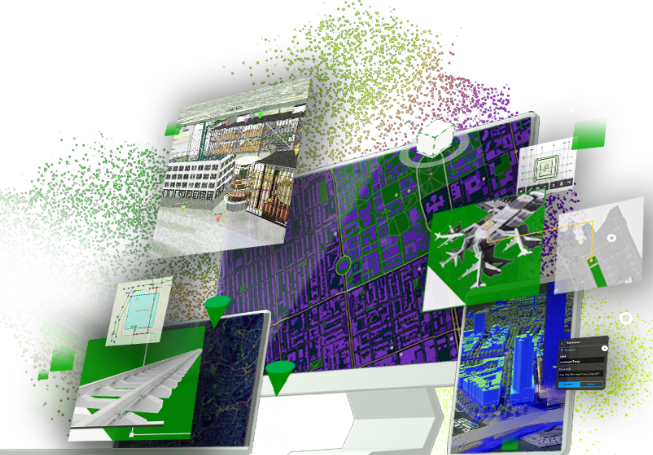
Autodesk integration for 3D visualization, Digital Twin apps and more.
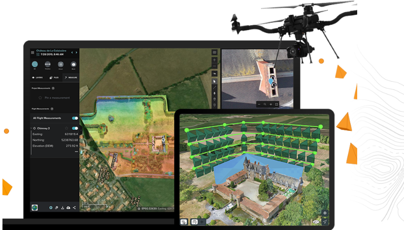
Esri
Drone planning, processing data, reality capture, etc
Discover how Seiler can help optimize your project. Contact us to learn more or request a demo.