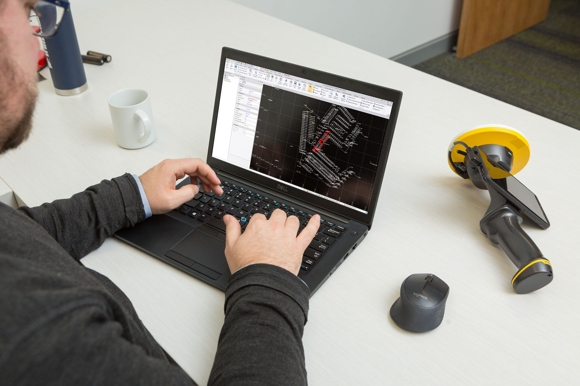
Inspection

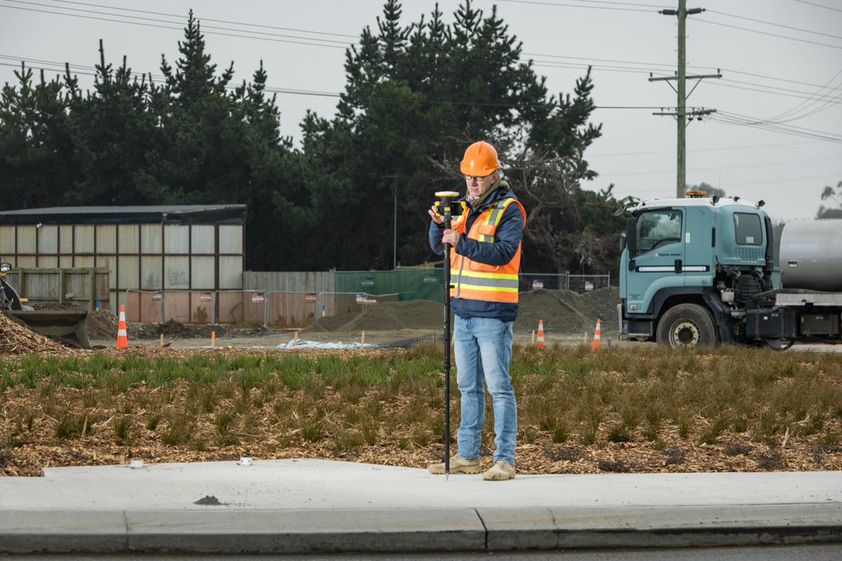
Seiler Geospatial provides mobile mapping solutions for efficient and accurate inspections of infrastructure and assets. Using advanced LiDAR, GNSS, and 3D imaging technologies, our tools capture high-resolution data in real-time, allowing for detailed inspections of roads, bridges, utilities, and more. Mobile mapping simplifies the inspection process by eliminating the need for manual measurements, reducing time in the field, and enhancing safety. With Seiler Geospatial’s solutions, you can quickly identify issues, assess conditions, and make data-driven decisions for timely maintenance and repairs, ensuring optimal performance and longevity of your assets.

Inspection Solutions

Ensure construction accuracy from start to finish with Seiler Geospatial’s powerful inspection solutions. By integrating tools like the Trimble X9 with Trimble Perspective or the Trimble SX12 with Trimble Access, you gain the ability to perform high-precision 3D scans and immediate comparisons between as-built conditions and design intent. These solutions help streamline inspection workflows, reduce rework, and maintain the integrity of your project.

Accurate Design Verification

Compare field conditions to design plans in real time to ensure construction is progressing according to specifications.

Early Issue Detection

Identify and address deviations or errors early in the build process, reducing costly rework and delays.

Improved Quality Control

Enhance construction quality and compliance with precise 3D data and robust analytical tools at every project phase.

Related Products

Get the tools you need for high-accuracy construction inspection. Seiler Geospatial offers industry-leading products like the Trimble X9 laser scanner, Trimble Perspective software, Trimble SX12 scanning total station, and Trimble Access field software. Together, these technologies provide a complete solution for capturing, analyzing, and verifying construction data with confidence and clarity.
Please contact us to learn more about related product solutions.

Get Started Today

Discover how Seiler can help optimize your project. Contact us to learn more or request a demo.