
Trimble
Field-to-finish survey CAD Software.
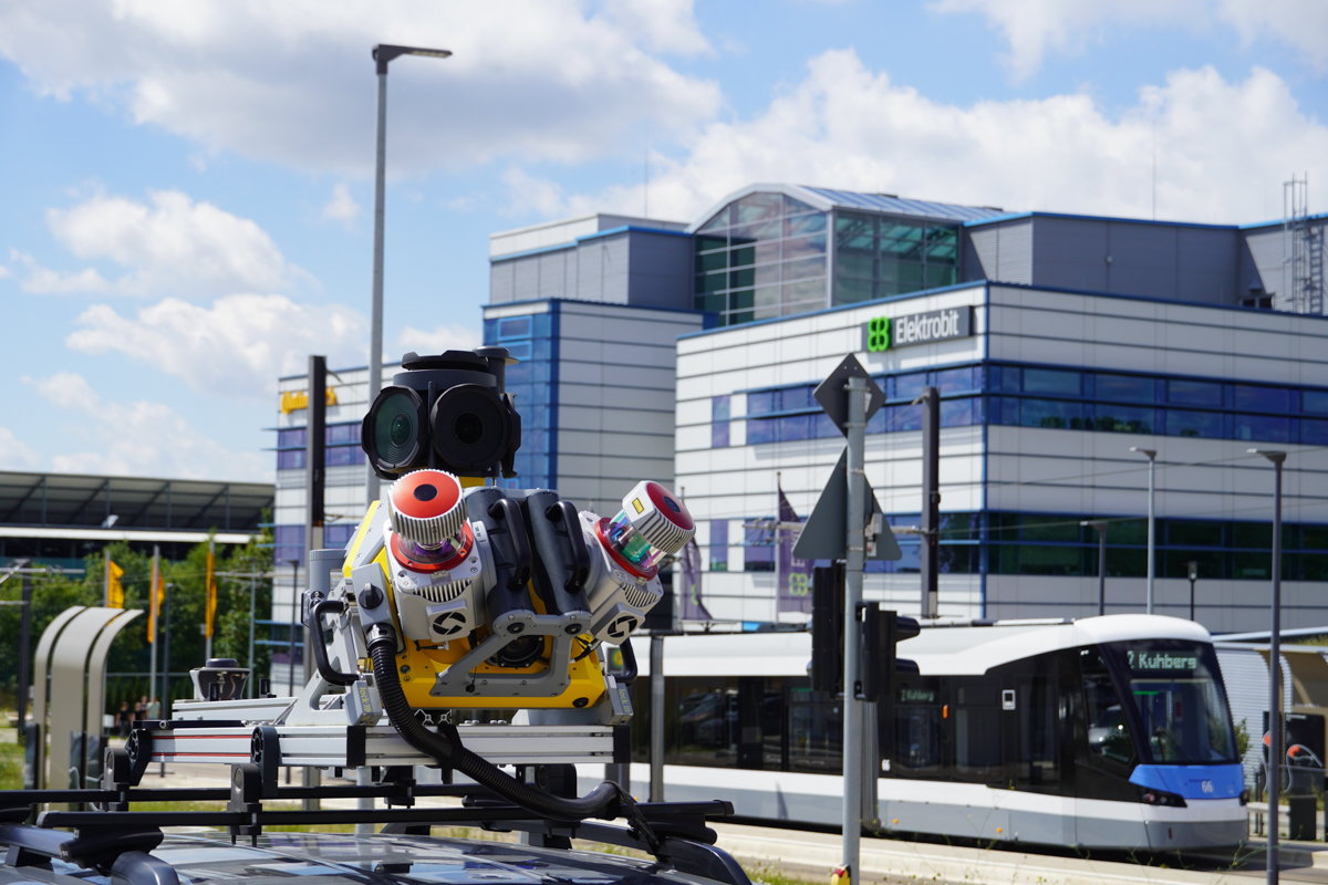
Seiler Geospatial offers mobile mapping solutions designed to streamline maintenance operations across various industries. Using high-precision GNSS, LiDAR, and 3D imaging technology, our tools enable efficient, detailed data collection of infrastructure assets without disrupting ongoing operations. Whether you’re monitoring utilities, roadways, or facilities, Seiler Geospatial’s mobile mapping solutions help create accurate, up-to-date asset inventories and identify maintenance needs. By quickly capturing comprehensive data, you can optimize maintenance schedules, improve asset management, and reduce downtime, ensuring the longevity and reliability of your infrastructure.


Trimble
Field-to-finish survey CAD Software.
Discover how Seiler can help optimize your project. Contact us to learn more or request a demo.