Planning & Design

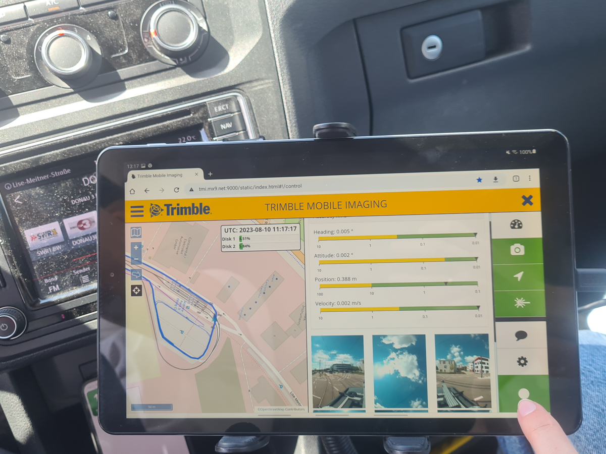
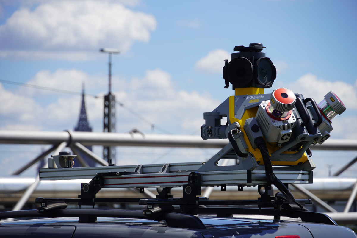
Seiler Geospatial offers mobile mapping solutions to enhance the planning and design process for various infrastructure projects. Using advanced LiDAR, GNSS, and 3D imaging technologies, our tools capture precise, real-time data of existing conditions, enabling accurate site analysis and design development. Whether you’re working on roads, buildings, or utilities, Seiler Geospatial’s mobile mapping solutions provide detailed, up-to-date information that helps optimize planning, streamline design workflows, and reduce errors. With our technology, you can visualize project sites in 3D, improving collaboration and ensuring that designs align with real-world conditions.

Solutions for Smarter Planning & Design

Seiler Geospatial delivers advanced Trimble mobile mapping technologies that empower planners and engineers to capture complete, real-world data with speed and accuracy.

Design with Confidence

Seiler Geospatial, powered by Trimble’s MX and X series scanners, empowers planners and designers with ultra-accurate, photorealistic 3D data. Quickly capture complete site conditions to ensure every design decision is based on reality—not assumptions—reducing rework and aligning projects to real-world environments from the start.

Detailed Data Collection

With Trimble’s mobile and terrestrial scanning technologies, you can rapidly gather dense point clouds and high-resolution images in a single pass. Whether you're working on highways, urban environments, or complex infrastructure layouts, Seiler Geospatial delivers the speed and precision needed to streamline design workflows and shorten project timelines.

Improve Safety and Minimize Disruption

Mobile mapping with Trimble’s MX series reduces the need for boots-on-the-ground surveying in high-risk or high-traffic areas. Seiler Geospatial provides the tools to safely collect geospatial data from a moving vehicle, minimizing field time, protecting crews, and keeping your operations efficient and safe.

Mobile Mapping Solutions Built for Speed, Safety, and Precision

Seiler Geospatial offers industry-leading Trimble products like the MX series mobile mapping systems and X series terrestrial scanners—designed to deliver fast, accurate, and detailed 3D data for planning and design.
Please contact us to learn more about related product solutions.

Get Started Today

Discover how Seiler can help optimize your project. Contact us to learn more or request a demo.