Environmental Hazards

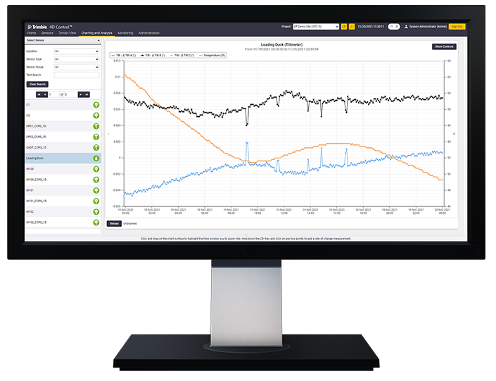
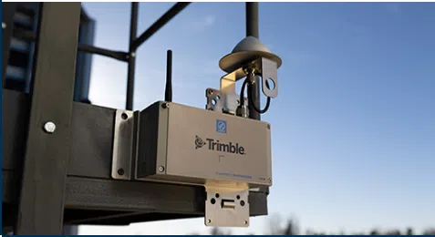
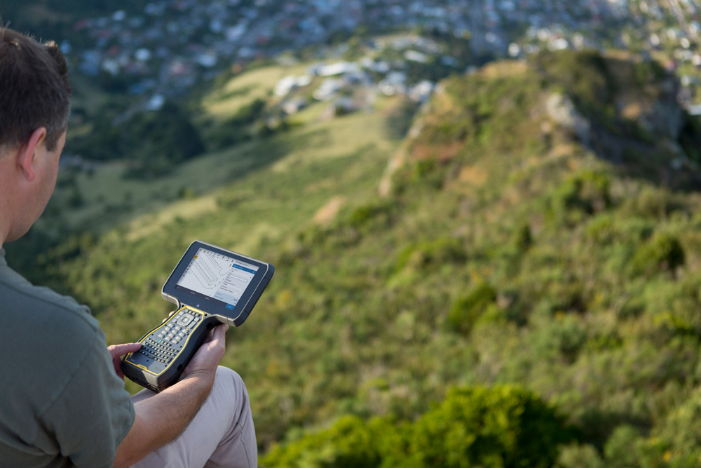
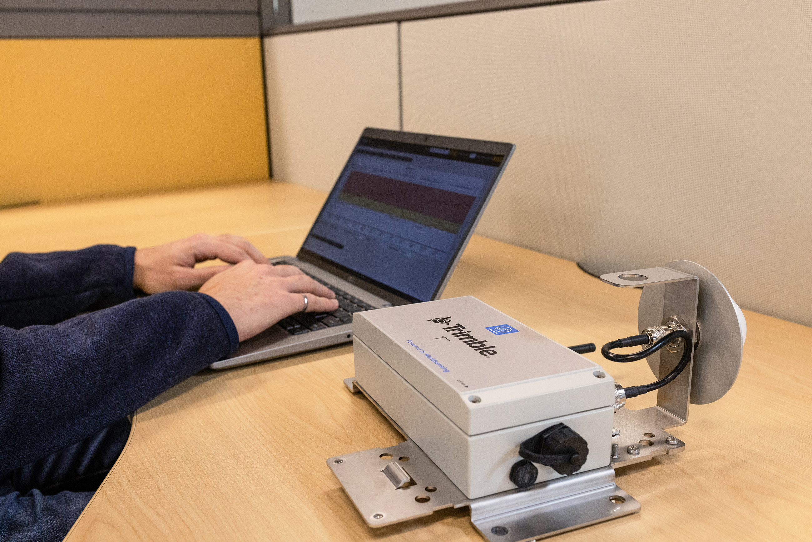
Seiler Geospatial offers advanced monitoring solutions for environmental hazards, enabling the detection and analysis of potential risks in real time. Using high-precision GNSS, geotechnical sensors, and 3D laser scanning, our technology tracks environmental changes such as soil movement, flooding, and air quality shifts, providing valuable insights for early warning systems. Whether monitoring landslides, floods, or other natural hazards, Seiler Geospatial’s solutions help mitigate risks, ensure public safety, and support proactive management of environmental challenges. With our reliable monitoring tools, you can take timely action to protect both the environment and the communities at risk.

Stay Grounded with Real-Time Insight

Seiler Geospatial, powered by Trimble technology, delivers precise, real-time monitoring solutions that help you detect ground movement, assess environmental risks, and ensure safety—even when conditions are constantly changing.

Early Detection, Smarter Prevention

Environmental hazards like landslides, subsidence, or slope instability don’t have to take you by surprise. Seiler Geospatial, powered by Trimble monitoring solutions, helps you detect early signs of earth movement with high-precision sensors and automated data collection. By identifying trends over time, you can intervene before minor shifts turn into major disasters.

Data-Driven Risk Management

With real-time monitoring and historical analysis, Trimble solutions give municipalities and infrastructure owners the insights they need to evaluate risk and prioritize response. Whether it’s protecting highways, railways, or water systems, Seiler Geospatial enables smarter, faster, and more targeted mitigation strategies—minimizing damage and maximizing safety.

Reliable Compliance and Reporting

Environmental monitoring isn’t just about safety—it’s also about staying compliant. Seiler Geospatial’s Trimble solutions provide accurate, continuous data you can trust for regulatory reporting and stakeholder transparency. Easily generate reports, visualize movements over time, and demonstrate proactive efforts to meet environmental and safety standards.

Precision Tools for Smarter Environmental Monitoring

Seiler Geospatial offers a suite of Trimble solutions designed to support real-time environmental monitoring and risk management. From GNSS receivers and total stations to automated monitoring sensors and software platforms, our tools provide continuous, high-accuracy data to track ground movement, structural shifts, and environmental changes.
Please contact us to learn more about related product solutions.

Get Started Today

Discover how Seiler can help optimize your project. Contact us to learn more or request a demo.