Public Safety
At Seiler Geospatial, we empower public safety professionals with industry-leading technology, expert support, and innovative solutions. From high-precision GNSS receivers and robotic total stations to advanced 3D laser scanning and GIS tools, we provide everything you need to capture accurate data quickly and efficiently.
Whether you’re working on emergency response, crime scene investigation, or infrastructure monitoring, our trusted solutions enhance workflows, improve accuracy, and increase productivity. With expert training, ongoing support, and dedicated service, Seiler Geospatial helps you stay prepared and efficient in an ever-changing environment.


Public Safety & Forensics: Cutting Edge Solutions
Enhance safety, accuracy and efficiency with high-precision solutions and seamless workflows from Seiler Geospatial.
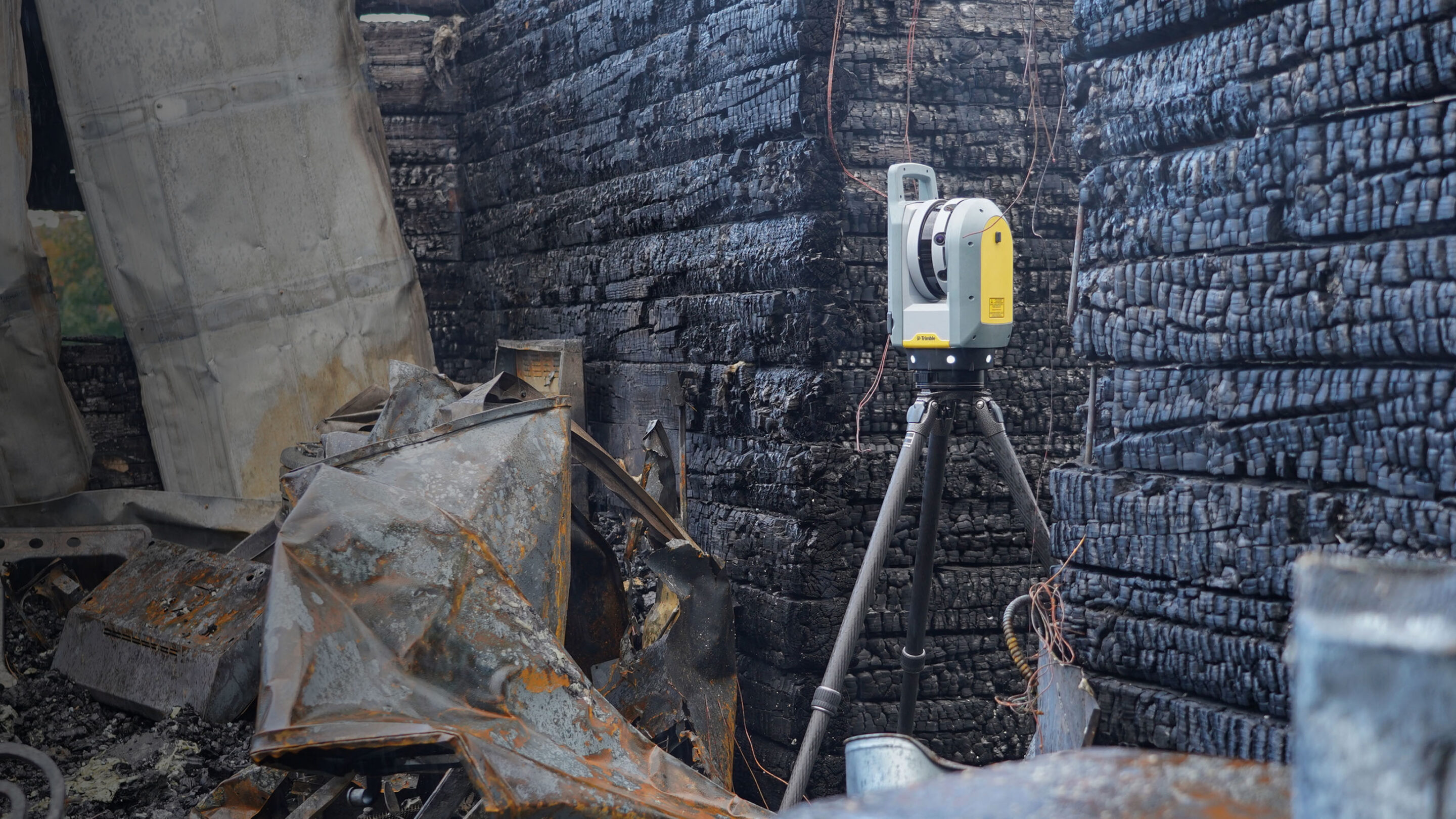
Crime Scene Investigation
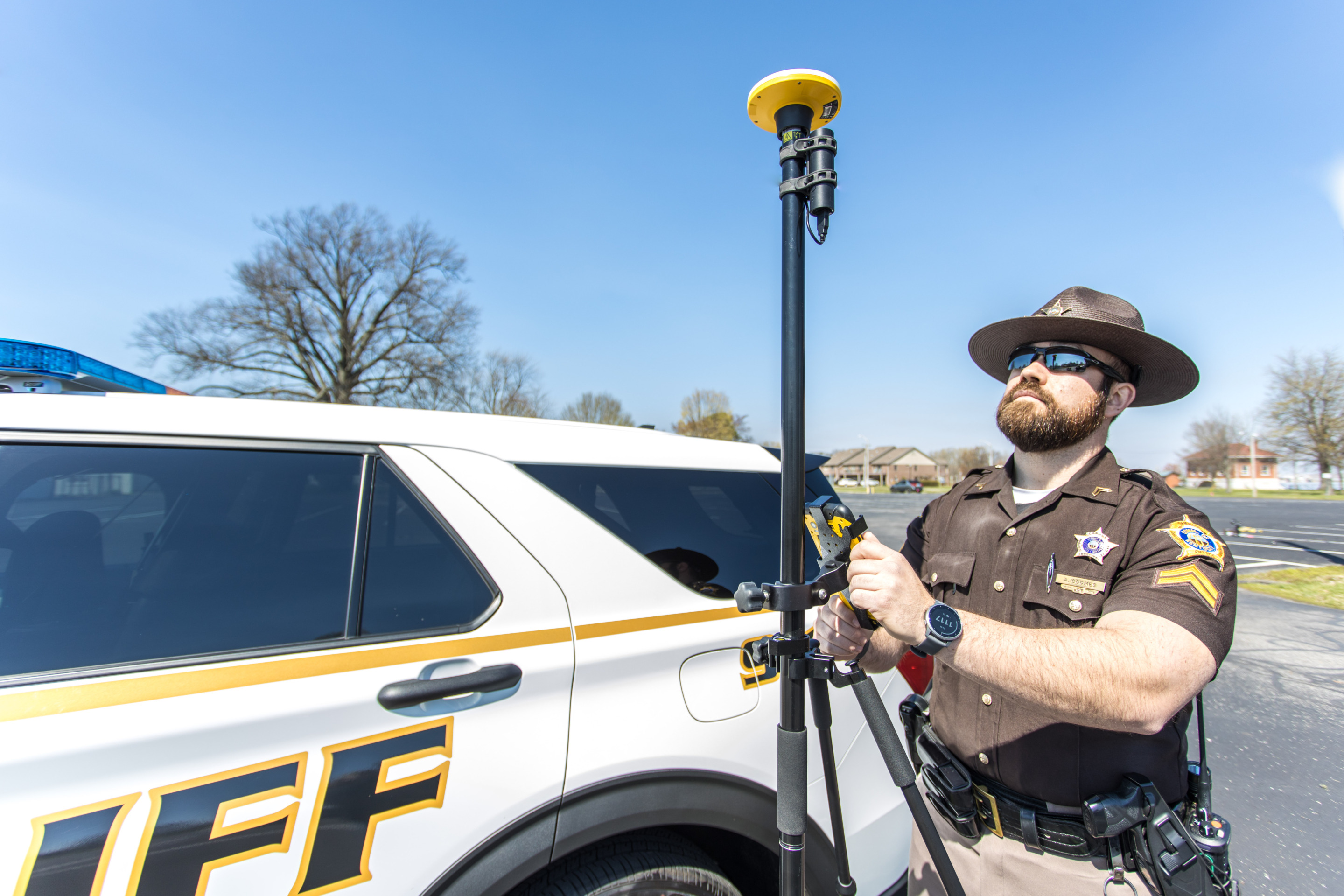
Collision Reconstruction
Have Questions?
"*" indicates required fields
Quick Links
Subscribe
Get the latest industry insights, product launches, upcoming events, training opportunities, and exclusive promotions delivered right to your inbox.