Reality Capture

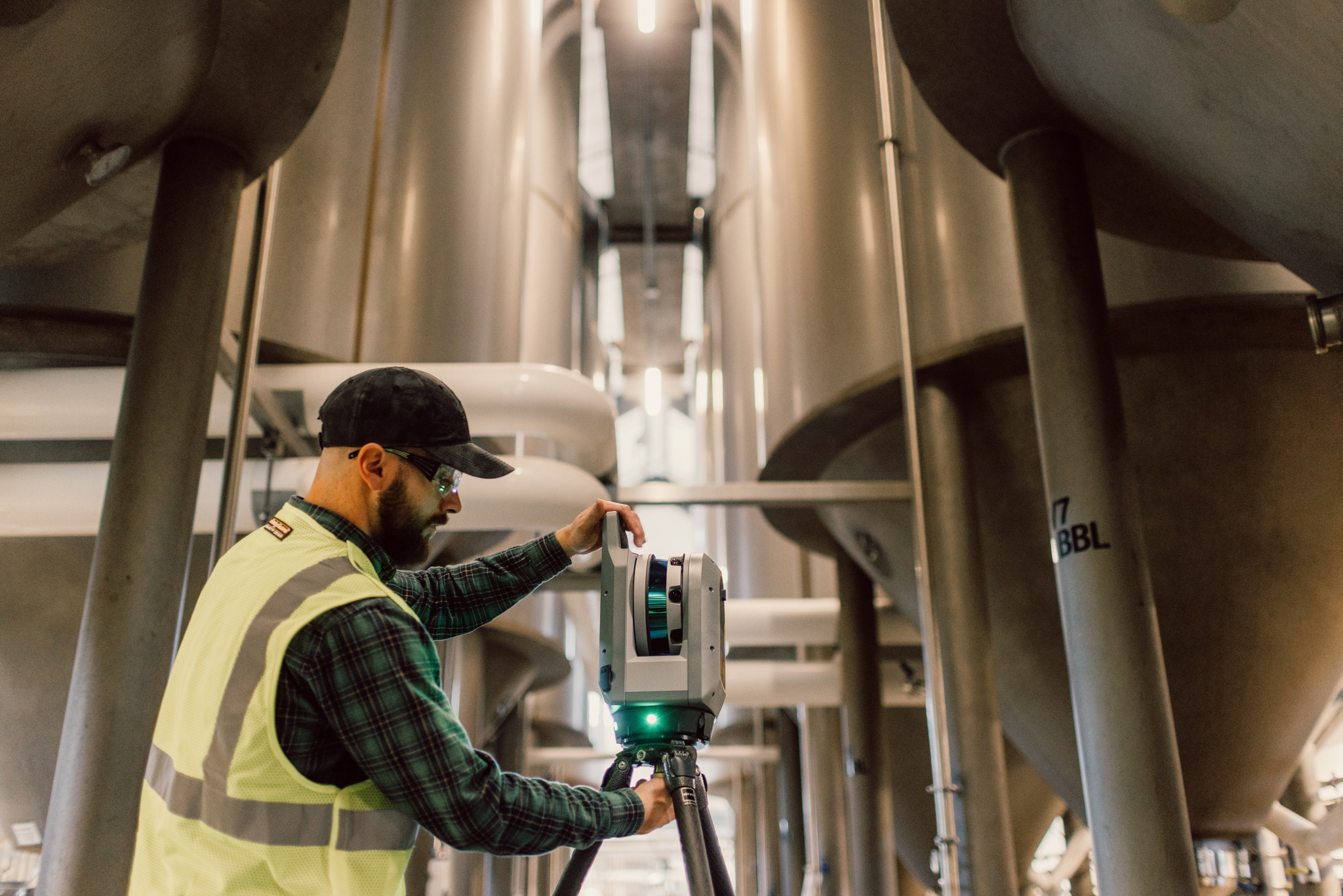
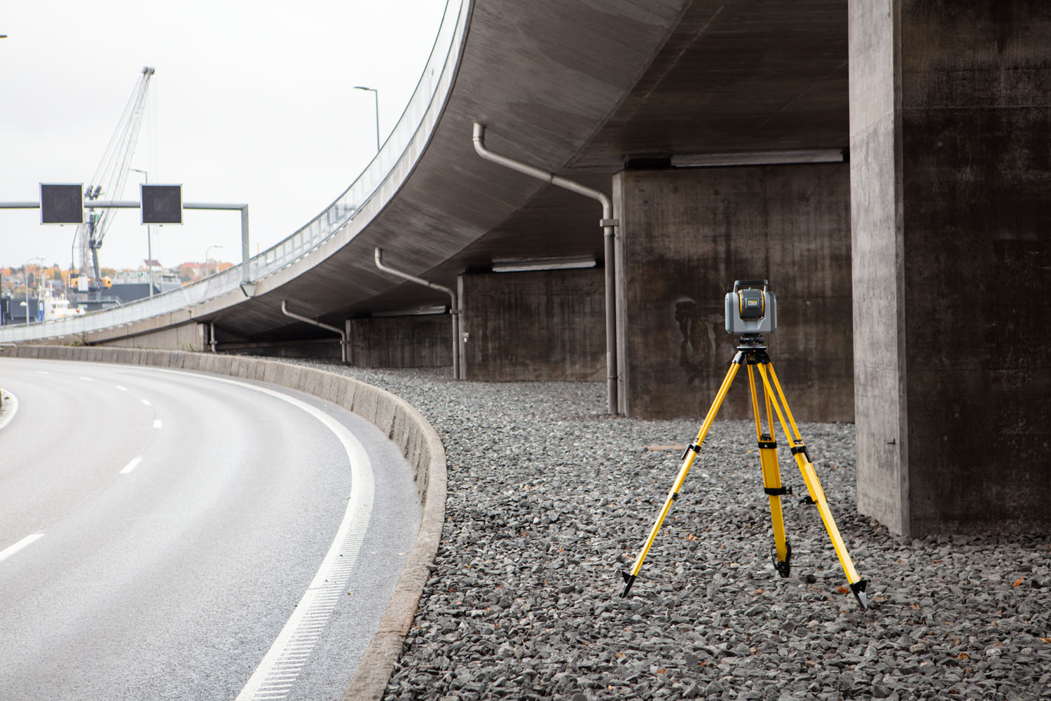
See more, understand more, and work better with advanced reality capture solutions. Seiler Geospatial helps you accurately and efficiently capture real-world environments in 3D, providing the detail and awareness needed to plan, design, and build with confidence.

Accurate Data, Trusted Results

From site documentation to project validation, Seiler Geospatial’s reality capture solutions ensure precision in every 3D scan, providing reliable data for informed decision-making.

Planning & Design

Achieve greater design accuracy with photorealistic data capture. Seiler Geospatial’s advanced 3D imaging solutions provide a precise understanding of site details and challenges, ensuring designs align with reality for efficient and accurate project planning.

Building

Capture every detail with precision and efficiency. Seiler Geospatial’s solutions support renovations, new builds, and as-built documentation, ensuring accurate measurements and models to keep projects on schedule without compromising safety or accuracy.

Inspection

Ensure construction accuracy with precise comparative tools. Seiler Geospatial’s 3D scanning solutions help identify potential issues, verify design integrity, and provide accurate data for real-time inspections at every stage of the build.

Maintenance

Optimize asset performance and reliability with proactive monitoring. Seiler Geospatial’s reality capture solutions provide accurate visual analysis, helping you assess conditions, prevent issues, reduce rework, and enhance safety for seamless operations.

Solutions for Reality Capture

Seiler Geospatial provides cutting-edge hardware and software designed for precise reality capture, enabling fast and reliable 3D data collection to enhance project accuracy and efficiency.
Please contact us to learn more about related product solutions.

Get Started Today

Discover how Seiler can help optimize your project. Contact us to learn more or request a demo.