Roads

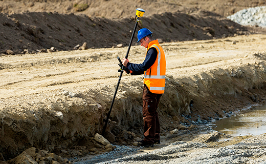
Seiler Geospatial, powered by Trimble technology, helps transportation agencies extend the life of road infrastructure through real-time data intelligence and precision monitoring. With efficient tools for collecting accurate as-builts and assessing asset conditions, our solutions support smarter, safer maintenance strategies.

Connected Geospatial Solutions for Every Mile of Road

Seiler Geospatial delivers Trimble-powered solutions that support the full lifecycle of road infrastructure—from planning and design to construction, operations, and long-term maintenance. Our integrated hardware and software tools help you capture accurate data, streamline workflows, and improve decision-making in the field and office. Whether you're designing new corridors or maintaining aging assets, Seiler helps you build and preserve safer, more efficient roadways with confidence.

Planning & Design

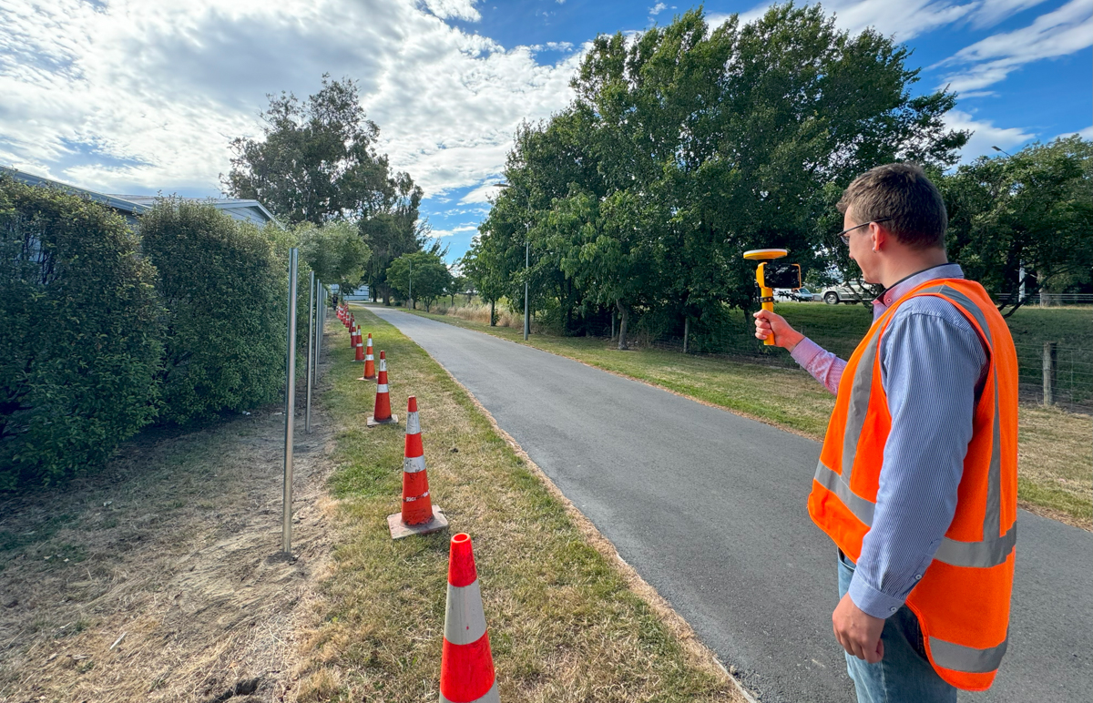
Seiler Geospatial, powered by Trimble, helps you design safer, longer-lasting roads with precise location intelligence and connected workflows. Capture accurate topographic and cadastral data quickly along large corridors, reduce time in the field, and improve planning accuracy. With seamless integration into Trimble Business Center and Trimble Access Roads, teams can create constructible models, define alignments, and collaborate in real time—paving the way for smarter, more efficient road design.

Construction

Seiler Geospatial delivers Trimble construction solutions that help road projects move from concept to completion with speed, accuracy, and confidence. By combining reliable, interoperable hardware and software, you can automate repetitive tasks, reduce rework through centralized data, and boost productivity in the field—keeping your team on task and your project on track for long-term success.

Operations

Seiler Geospatial, powered by Trimble reality capture solutions, enables you to collect accurate 3D asset data safely—without road closures. Automate surveys, detect structural risks early, and quickly share insights to support smart decisions that keep roads open, infrastructure strong, and the public safe.

Maintenance

Seiler Geospatial, powered by Trimble technology, helps transportation agencies extend the life of road infrastructure through real-time data intelligence and precision monitoring. With efficient tools for collecting accurate as-builts and assessing asset conditions, our solutions support smarter, safer maintenance strategies. By integrating geotechnical, environmental, and geodetic sensor data into a single monitoring platform, you can track road health in real time, set automated alerts for movement thresholds, and generate comprehensive reports that support public safety and regulatory compliance—all while preserving the roads that keep communities connected.

Technology Built for Roadway Precision and Performance

Seiler Geospatial offers a comprehensive range of solutions designed specifically for road infrastructure projects. From Trimble Access Roads for in-field roading workflows to Trimble Business Center for model creation and data integration, and monitoring platforms for long-term asset health, our tools help streamline every phase of your road project. With durable, high-accuracy GNSS receivers, total stations, and real-time data platforms, you can plan, build, and maintain roads with greater confidence and efficiency.
Please contact us to learn more about related product solutions.

Get Started Today

Discover how Seiler can help optimize your project. Contact us to learn more or request a demo.