Utilities
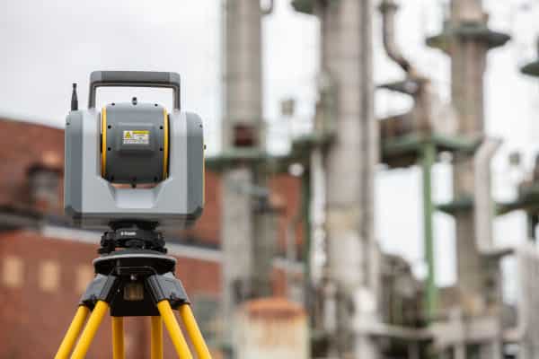
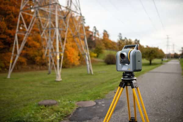
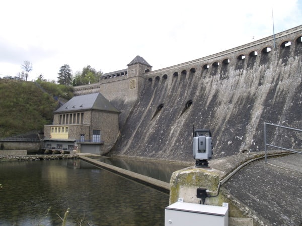
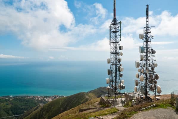
At Seiler Geospatial, we empower utility professionals with advanced technology, expert support, and innovative solutions to optimize asset management and infrastructure projects. From precise GNSS receivers and robotic total stations to 3D laser scanning and GIS tools, we provide the essential equipment to capture accurate data for efficient planning and maintenance.
Whether you’re working on utility mapping, network management, or asset inspections, our reliable solutions improve data accuracy, enhance productivity, and streamline operations. With expert training and dedicated support, Seiler Geospatial ensures you stay ahead in the dynamic utilities industry.


Utilities: Advanced Solutions from Seiler Geospatial
Optimize operations with high-precision instruments, solutions and seamless workflows from Seiler Geospatial.
Gas
Electricity
Water
Telecommunications
Have Questions?
"*" indicates required fields
Quick Links
Subscribe
Get the latest industry insights, product launches, upcoming events, training opportunities, and exclusive promotions delivered right to your inbox.