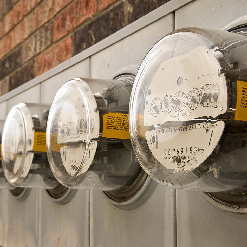
Electric
Seiler Geospatial provides advanced solutions for the electricity sector within the utilities industry, enabling efficient mapping, monitoring, and management of electrical infrastructure. Using cutting-edge GNSS, LiDAR, and GIS technologies, we help utilities capture accurate data on power lines, substations, and other assets. Our solutions enhance asset management, improve grid performance, and support the efficient planning of infrastructure projects. With Seiler Geospatial’s tools, electricity providers can streamline operations, ensure safety, and make data-driven decisions that optimize service delivery and reduce downtime.
Precise Data, Trusted Results for the Power Industry
From utility easements to infrastructure planning, ensure accuracy and reliability in every survey to support safe, efficient, and compliant electrical operations.
Planning

Installation

Inventory & Condition Assessment
Maintenance & Replacement
Solutions for the Utility & Power Industries
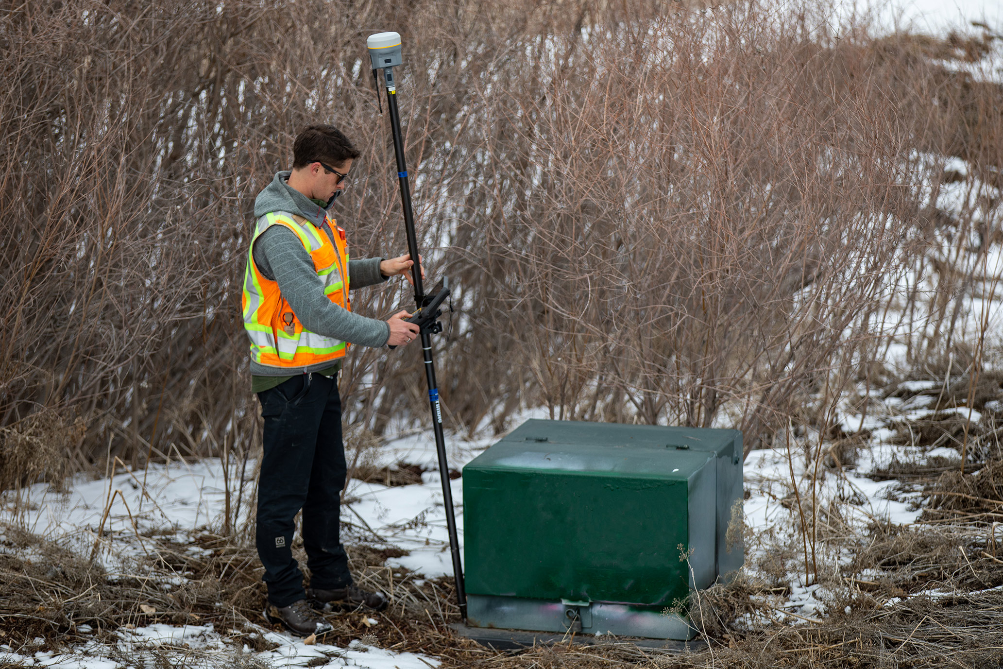
Seiler provides advanced hardware and software designed for the electricity industry, delivering fast, accurate land and boundary measurements to support utility easements, right-of-way planning, and infrastructure development with confidence and efficiency.
Please contact us to learn more about related product solutions.
Please contact us to learn more about related product solutions.
Get Started Today
Discover how Seiler can help optimize your project. Contact us to learn more or request a demo.