Telecommunications
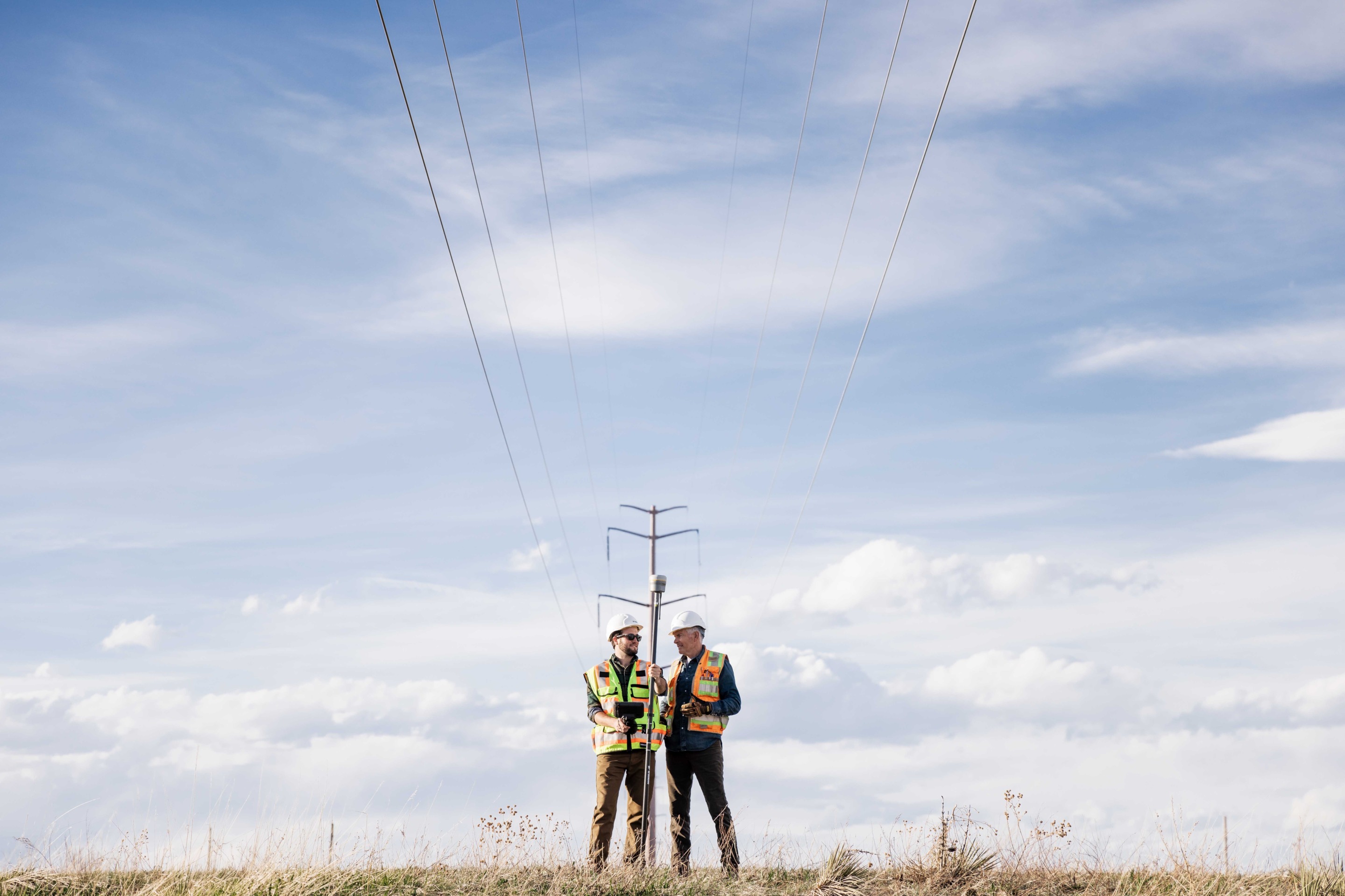
Seiler Geospatial provides innovative solutions for the telecommunications sector within the utilities industry, enabling efficient mapping, monitoring, and management of telecom infrastructure. Using advanced GNSS, LiDAR, and GIS technologies, we help telecom providers capture accurate data on towers, cables, and networks. Our solutions enhance asset management, improve network performance, and support the planning and expansion of telecom systems. With Seiler Geospatial’s tools, telecommunications companies can optimize their operations, reduce downtime, and make data-driven decisions to ensure reliable and efficient service delivery.
Faster, Smarter & More Reliable Network Development.
Powered by Trimble, our solutions provide the accuracy, efficiency, and confidence telecom providers need to plan, build, and maintain critical infrastructure.
Planning

Installation
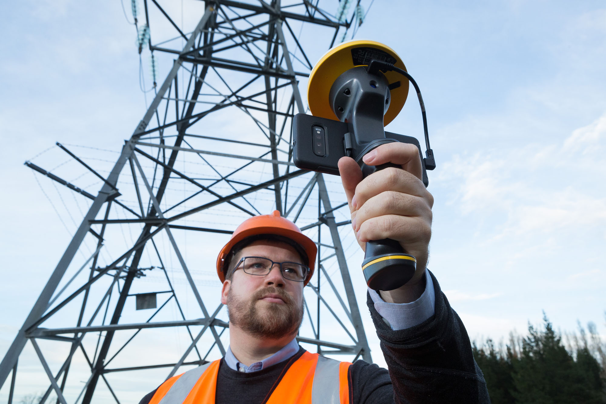
Inventory & Condition Assessment
Maintenance & Replacement

Telecom-Ready Solutions for Smarter Infrastructure
Capture precise 3D asset data, streamline field workflows, and make informed decisions with tools designed to improve network reliability, reduce downtime, and support future growth.
Please contact us to learn more about related product solutions.
Please contact us to learn more about related product solutions.
Get Started Today
Discover how Seiler can help optimize your project. Contact us to learn more or request a demo.