Key Features:
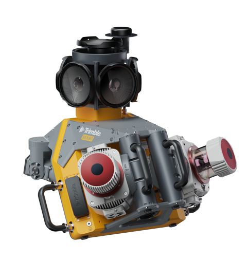
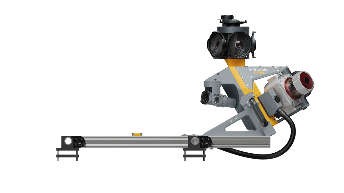
- High-Resolution Imaging: Equipped with a 72 MP spherical camera (6 x 12 MP) and three planar cameras (2 x 12 MP side-facing, 1 x 12 MP backward/downward-facing), the MX90 captures detailed panoramic and targeted imagery for comprehensive visual documentation.
- Advanced LiDAR Scanning: The dual laser system offers an effective measurement rate of up to 3.6 MHz and a scan speed of 500 scans per second, producing high-density point clouds with exceptional accuracy.
- Robust GNSS-Inertial Integration: Featuring an embedded Trimble GNSS-inertial system with an AP+60 IMU, the MX90 ensures precise positioning even in challenging environments, enhancing data reliability.
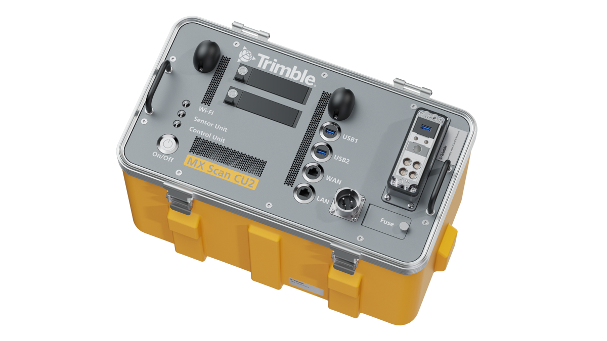
- Efficient Data Workflow: The system seamlessly integrates with Trimble Business Center software, facilitating trajectory processing, data fusion, and the generation of high-quality survey, engineering CAD, and GIS deliverables.User-Friendly Operation: With intuitive controls accessible via smart devices, users can easily manage data acquisition and adjust sensor orientations, streamlining field operations.
Specifications:
- Weight: Sensor unit weighs 37 kg.
- IP Rating: IP64, ensuring durability in various environmental conditions.
- Operating Temperature: 0 °C to +40 °C.
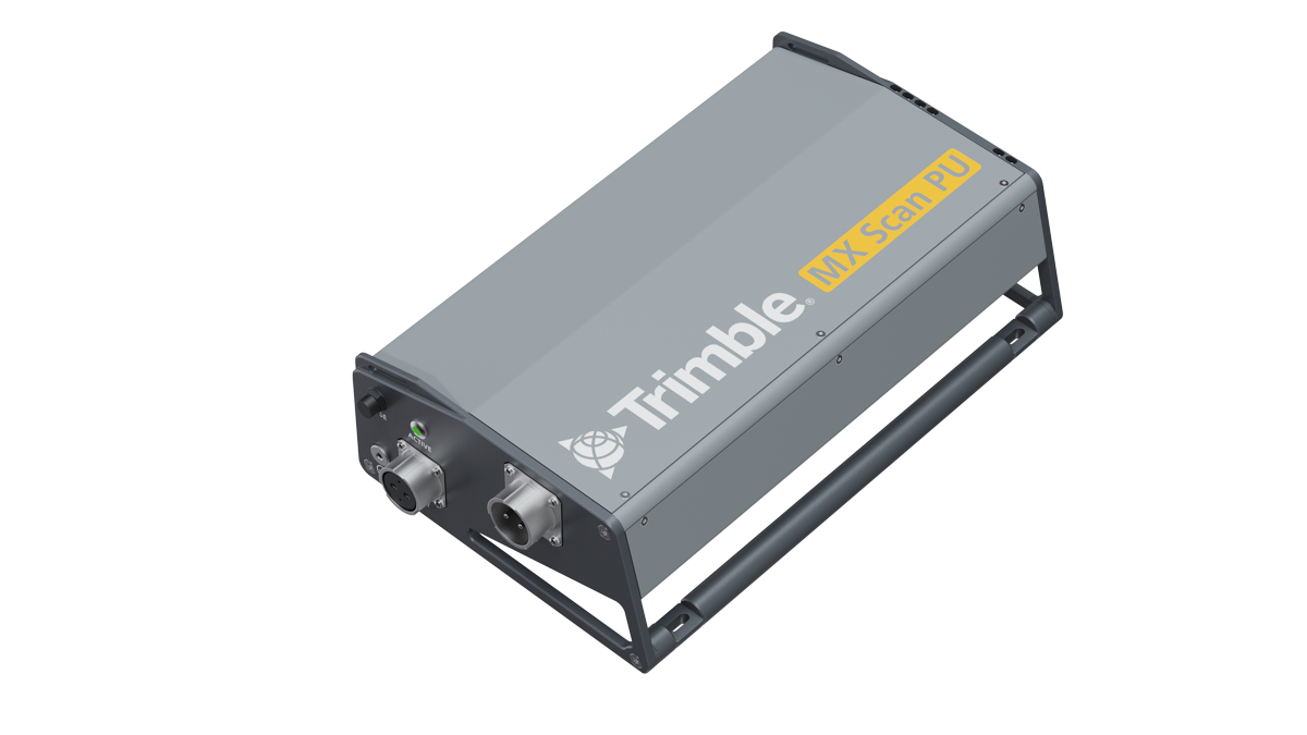
- Data Storage: Equipped with 2 x 4TB removable SSDs for ample data storage capacity.
Applications:
Ideal for professionals in surveying, transportation, urban planning, and infrastructure management, the Trimble MX90 excels in tasks such as:
- Road and highway asset management.
- Urban mapping and 3D city modeling.
- Railway corridor surveys.
- Utility and infrastructure inspections.
By delivering high-accuracy data at highway speeds, the MX90 enhances productivity and reduces the need for repeated site visits