SiteVision
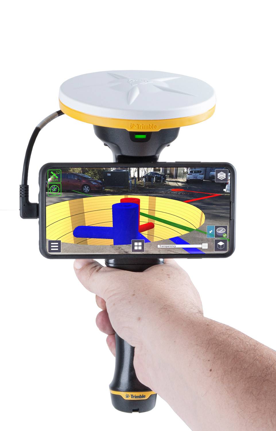
Trimble SiteVision is an outdoor augmented reality (AR) system designed to bring spatial data to life by overlaying digital 3D models onto real-world environments. This tool enables professionals in construction, surveying, utilities, and infrastructure to visualize complex information with high precision directly on-site.
Applications
- Construction: Visualize and verify designs on-site, detect clashes, and communicate changes effectively.
- Surveying: Overlay survey data onto the physical environment for validation and analysis.
- Utilities: Locate underground assets and plan maintenance activities with spatial context.
- Infrastructure: Assess project progress and ensure alignment with design specifications.