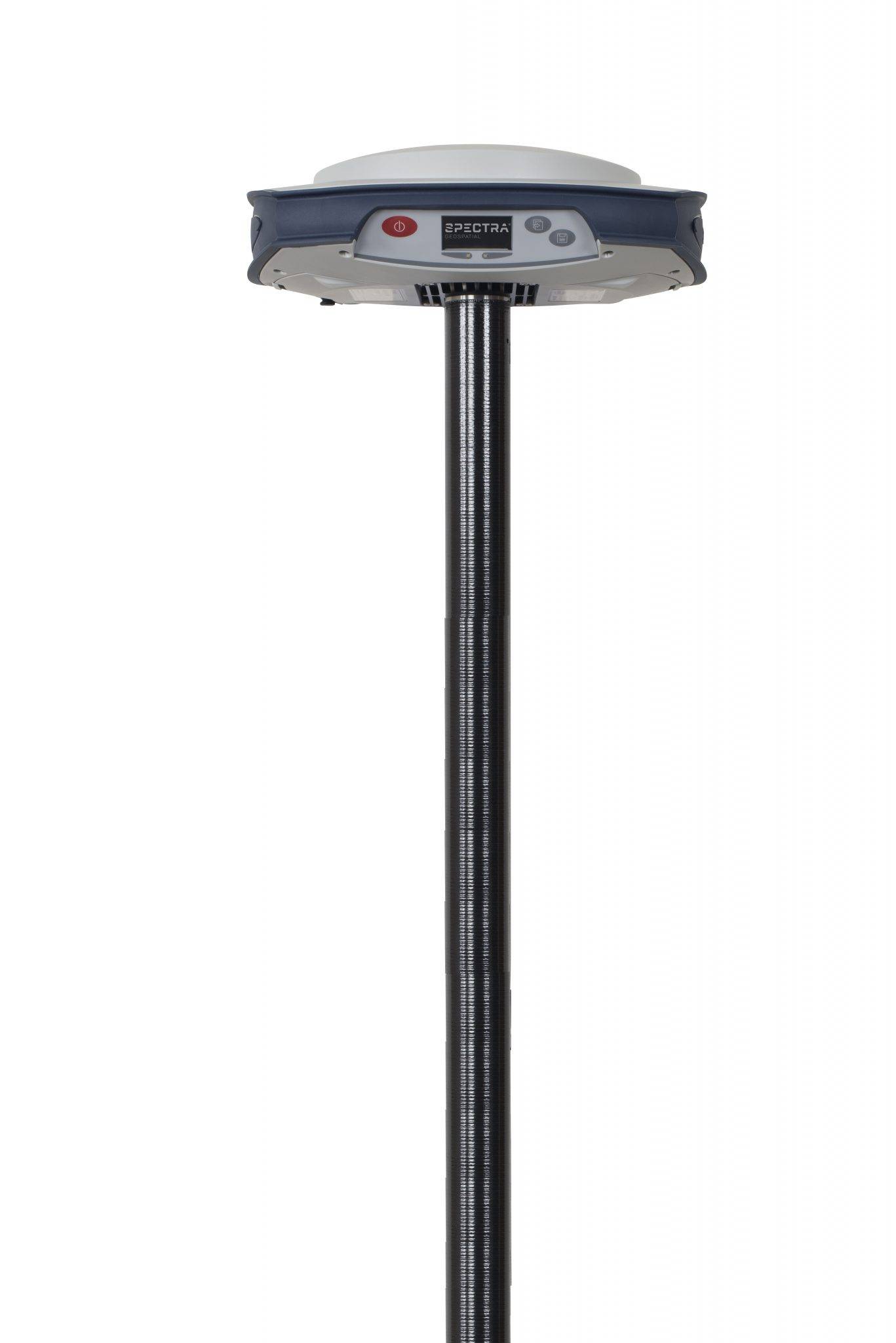
Home Spectra Geospatial SP85 GNSS Receiver

SP85 GNSS Receiver

The Spectra Geospatial® SP85 is a next generation GNSS receiver that combines decades of GNSS RTK technology with revolutionary new GNSS processing. Featuring the new 600-channel 7G chipset combined with the patented Z-Blade technology, the SP85 system is optimized for tracking and processing signals from all GNSS constellations in challenging environments.

SKU: 119786-50 Category: Tags: , , Brand:

GNSS Characteristics

Channels 600 GNSS channels
GPS: L1C/A, L1P(Y), L2C, L2P(Y), L5
GLONASS: L1C/A, L1P, L2C/A, L2P, L3
BeiDou (Phase II): B1, B2
Galileo: E1, E5a, E5b
QZSS: L1C/A, L1C, L2C, L5
IRNSS: L5
SBAS: L1C/A, L5 (WAAS, EGNOS, MSAS, GAGAN, SDCM)
L-band MSS
Correction Services Trimble RTX™ real-time correction services
Z-Blade Technology Full utilization of all 7 GNSS systems; enhanced GNSS-centric algorithm with fully-independent signal tracking including GPS-only, GLONASS-only, Galileo-only, or BeiDou-only solutions (Autonomous to full RTK)
Signal Acquisition Fast Search engine for quick acquisition and re-acquisition
SBAS Ranging Uses SBAS code & carrier observations and orbits in RTK processing
Multi-Path Reduction Patented Strobe™ Correlator
Raw Data Output Up to 20 Hz real-time (code & carrier and position)
Data Formats ATOM, CMR, CMR+, RTCM 2.1, 2.2, 2.3, 3.0, 3.1, 3.2 (including MSM), CMRx, sCMRx (rover only)
NMEA Output NMEA 0183 messages

Real-Time Accuracy (RMS) 1,2,7

SBAS (WAAS/EGNOS/MSAS/GAGAN) Horizontal: < 50 cm  |  Vertical: < 85 cm
DGPS Horizontal: 25 cm + 1 ppm  |  Vertical: 50 cm + 1 ppm
RTK Horizontal: 8 mm + 1 ppm  |  Vertical: 15 mm + 1 ppm
Network RTK 6 Horizontal: 8 mm + 0.5 ppm  |  Vertical: 15 mm + 0.5 ppm

Real-Time Performance

Instant-RTK® Initialization Typically 2 sec for baselines < 20 km — up to 99.9% reliability
RTK Initialization Range Over 40 km

Post-Processing Accuracy (RMS) 1,2,7

Static & Fast Static Horizontal: 3 mm + 0.5 ppm  |  Vertical: 5 mm + 0.5 ppm
High-Precision Static 3 Horizontal: 3 mm + 0.1 ppm  |  Vertical: 3.5 mm + 0.4 ppm

Data Logging

Recording Interval 0.05 – 999 seconds

Physical Characteristics

Size 22.2 x 19.4 x 7.5 cm (8.7 x 7.6 x 3.0 in)
Weight 1.17 kg (2.57 lb)
User Interface Graphical PMOLED display; Web UI via WiFi for configuration, operation, status, and data transfer
I/O Interface RS232 serial, USB 2.0/UART, Bluetooth 5.0 dual mode, WiFi 802.11 b/g/n, 3.5G quad-band GSM (850/900/1800/1900 MHz) / penta-band UMTS (800/850/900/1900/2100 MHz)
Memory 4 GB internal NAND Flash (3.5 GB user data); over two years of 15 sec raw GNSS data from 14 satellites; SD/SDHC up to 32 GB
Operation Modes RTK rover & base, RTK network rover (VRS, FKP, MAC), NTRIP, Direct IP, CSD, Post-processing, RTK bridge, UHF repeater, UHF networking, Trimble RTX (satellite and cellular/IP)

Environmental Characteristics

Operating Temperature -40 °C to +65 °C (-40 °F to +149 °F) 4
Storage Temperature -40 °C to +85 °C (-40 °F to +185 °F) 5
Humidity 100% condensing
Ingress Protection IP67 — waterproof, sealed against sand and dust
Drop 2 m pole drop on concrete
Shock ETS300 019
Vibration MIL-STD-810F

Power Characteristics

Batteries 2 Li-Ion hot-swappable, 41.4 Wh (2 × 7.4 V, 2800 mAh)
Battery Life 10 hours (GNSS on, GSM or UHF Rx on)
External Power 9–28 V DC

Standard System Components

SP85 receiver
2 Li-Ion batteries
Dual battery charger, power supply and international power cord kit
Tape measure (3.6 m / 12 ft)
7 cm pole extension
USB to mini-USB cable
Hard case
2 year warranty

Optional System Components

UHF Kit SP85 UHF Kit (410–470 MHz, 2W TRx)
Power Kits SP85 Field Power Kit, SP85 Office Power Kit
Data Collectors ST10, Ranger™ 7, Ranger™ 3, T41, MobileMapper® 60, MobileMapper® 50
Field Software Survey Pro, Survey Mobile (Android), SPace control app for 3rd party devices (Android)

Trimble RTX Initialization 1,2,6,7

Horizontal (RMS) Initialization GNSS
CenterPoint® RTX <2 cm <15 min, <1 min L1 + L2

1 Accuracy and TTFF may be affected by atmospheric conditions, signal multipath, satellite geometry, and corrections availability and quality.
2 Assumes minimum of five satellites per product manual procedures. High multi-path, high PDOP, or severe atmospheric conditions may degrade performance.
3 Long baselines, long occupations, precise ephemeris used.
4 At very low temperatures UHF module should not be used in transmitter mode.
5 Without batteries. Batteries can be stored up to +70 °C.
6 Network RTK PPM values referenced to the closest physical base station.
7 Receiver initialization time varies based on GNSS constellation health, multipath level, and proximity to obstructions.