
RealWorks
Bring your point cloud data into focus
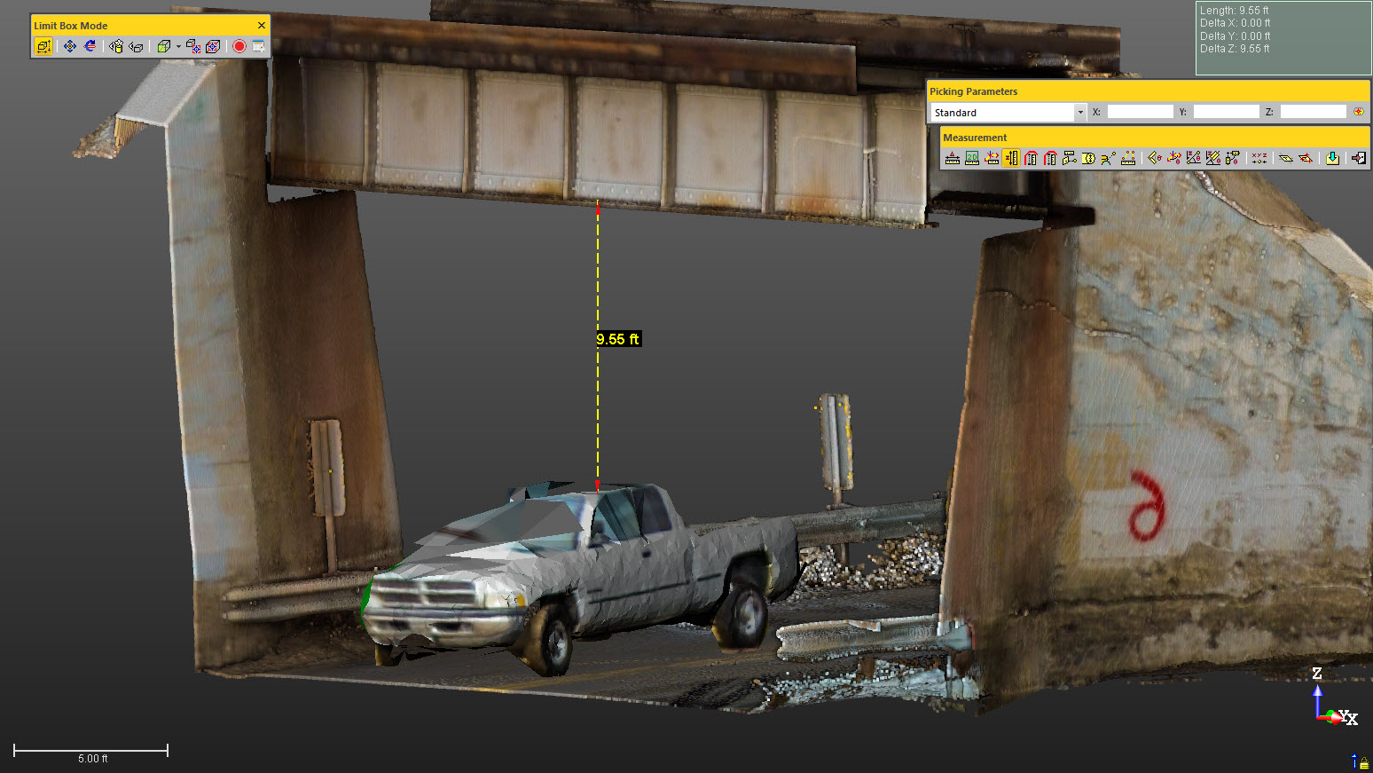
Trimble RealWorks helps scanning professionals work with point cloud data from a wide range of sources. Prepare datasets for review, explore existing conditions and develop deliverables for project teams.
Tools for your scanning workflow
- Register scans and clean up point cloud datasets.
- Navigate, manage and analyze captured 3D data.
- Create surfaces, calculate volumes and generate orthophotos.
- Access advanced registration, inspection and modeling tools with the appropriate edition.
Choose the right edition
Capabilities vary by edition and license. Contact Seiler Geospatial to discuss your scanning applications, compare options and request pricing or a demonstration.