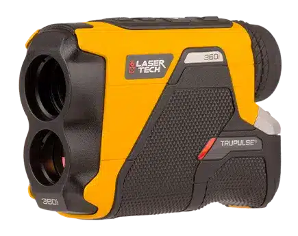
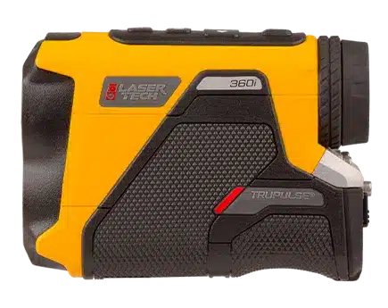
With its integrated digital compass and inclinometer, the 360° R allows users to capture 3D vector data and perform remote offset measurements without needing to occupy the target. This eliminates the need for GPS in obstructed areas and improves safety by enabling measurements from a distance. Its high-quality optics, advanced targeting modes (Closest, Farthest, Continuous, Filter), and intuitive in-scope display streamline fieldwork and ensure data confidence.
Offering reliable Bluetooth® connectivity and serial output options, the TruPulse 360° R integrates seamlessly with field data collection systems, including popular mobile mapping apps and GNSS receivers. Whether you’re mapping hard-to-reach assets or navigating dense environments, the TruPulse 360° R is a trusted solution for accurate, efficient, and safe measurement workflows.