USED Trimble MX2 Mobile Mapping System
$216,000.00
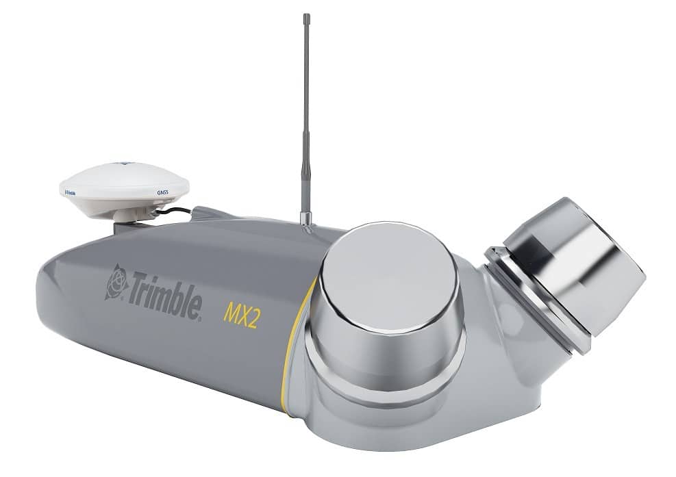
The Trimble MX2 Mobile Mapping System delivers fast, efficient, and accurate 3D spatial data capture while mounted to a vehicle or ATV. Designed for rugged environments, the MX2 integrates precision GNSS positioning, twin laser scanners, and optional 360° panoramic imaging to create rich georeferenced point clouds and visuals for a wide range of mapping applications.
Its modular, portable design enables rapid deployment in the field—perfect for corridor mapping, road surface analysis, infrastructure inspection, and utility asset documentation. With Trimble’s intuitive processing software and workflows, users can seamlessly turn mobile data into actionable insights for survey, engineering, and GIS professionals.
Disclaimer: Image shown is for illustration purposes only. The actual instrument may show signs of light use and may have minor cosmetic blemishes consistent with normal field operation. Functionality has been tested and verified.