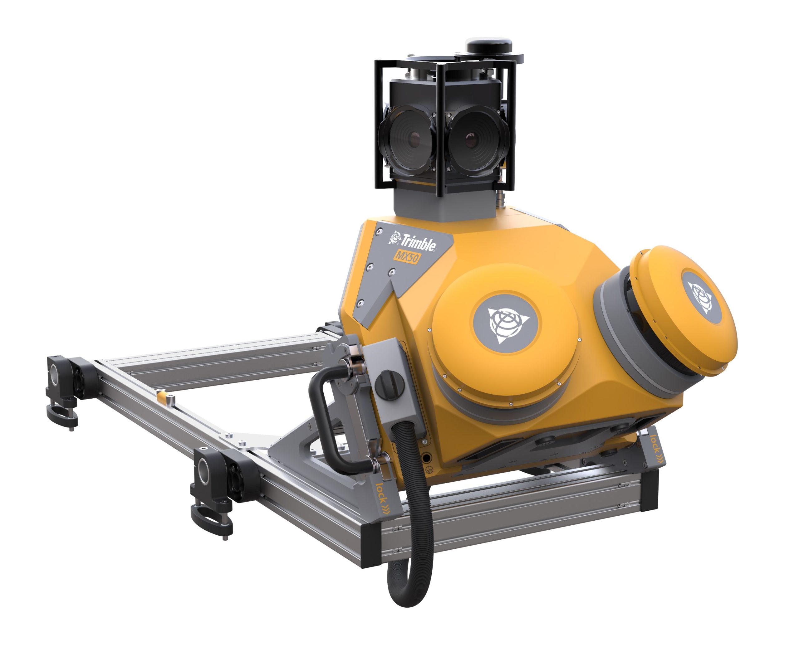
MX50
The Trimble MX50 is a versatile, vehicle-mounted mobile mapping system that combines high-precision LiDAR scanning and 360° panoramic imaging to deliver accurate, immersive geospatial data for asset management, mapping, and road maintenance applications. Designed for ease of use, it offers a complete field-to-finish workflow, enabling users to capture, process, extract, and share data efficiently. With its robust design and user-friendly operation, the MX50 is ideal for professionals seeking a reliable solution for large-scale geospatial data collection.