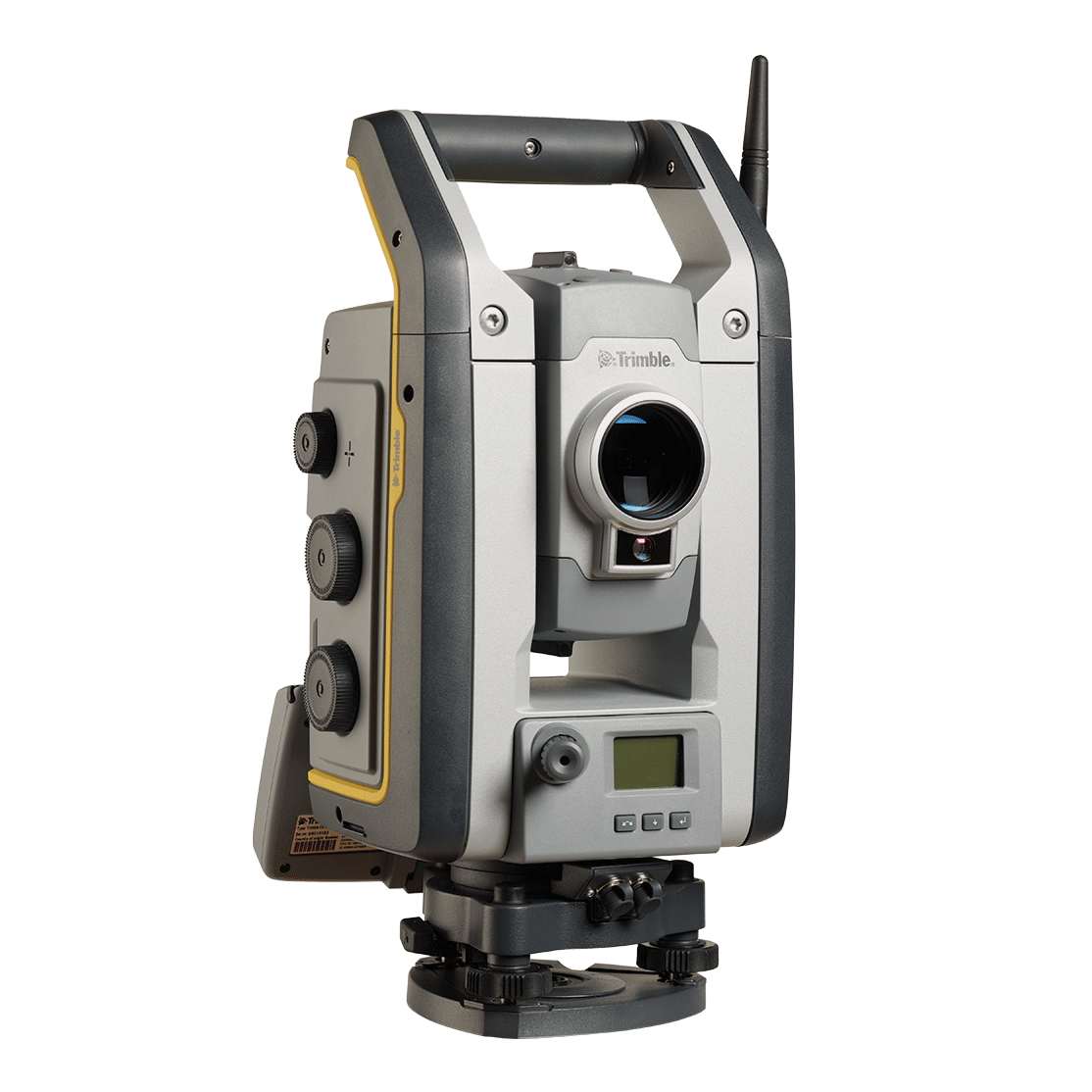
Trimble
As a feature-rich robotic total station with an included radio.
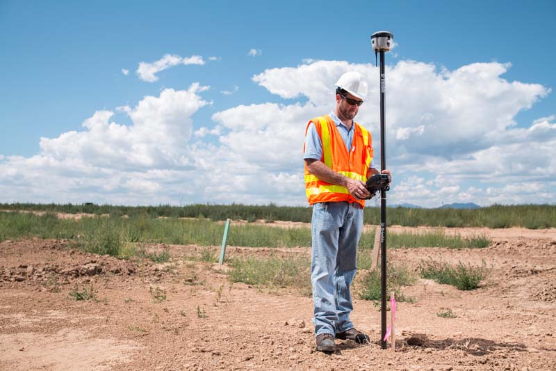
Cadastral and boundary surveying is essential for establishing land ownership, supporting legal frameworks, and enabling efficient land management. Accurate surveys define property lines, resolve disputes, and ensure proper land use. Trimble’s advanced geospatial solutions provide high-precision tools, real-time data processing, and seamless workflows to meet legal and accuracy standards.

Trimble
As a feature-rich robotic total station with an included radio.
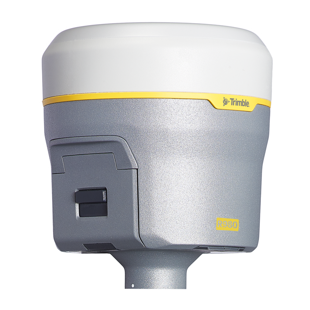
Trimble
A new angle of productivity.
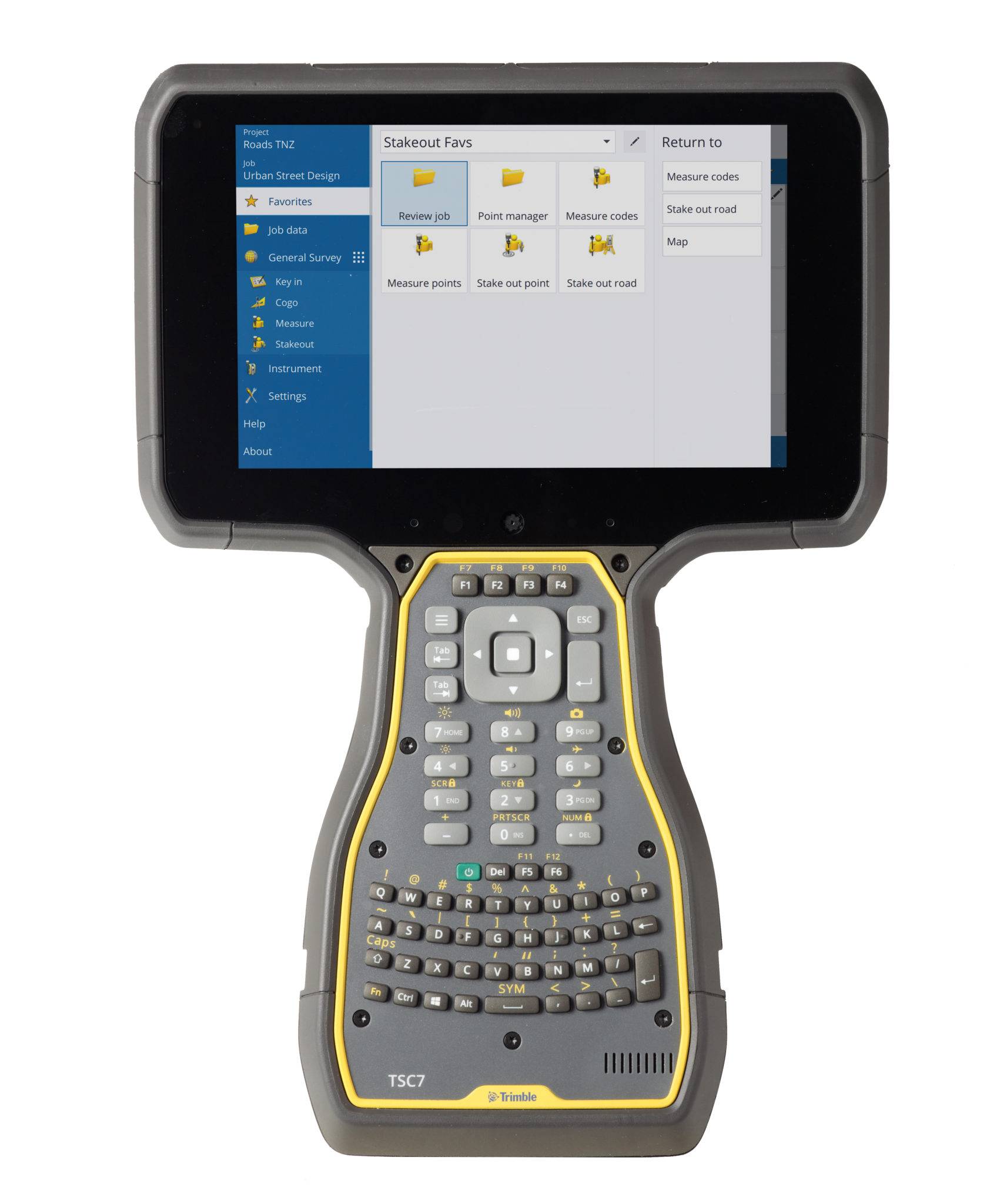
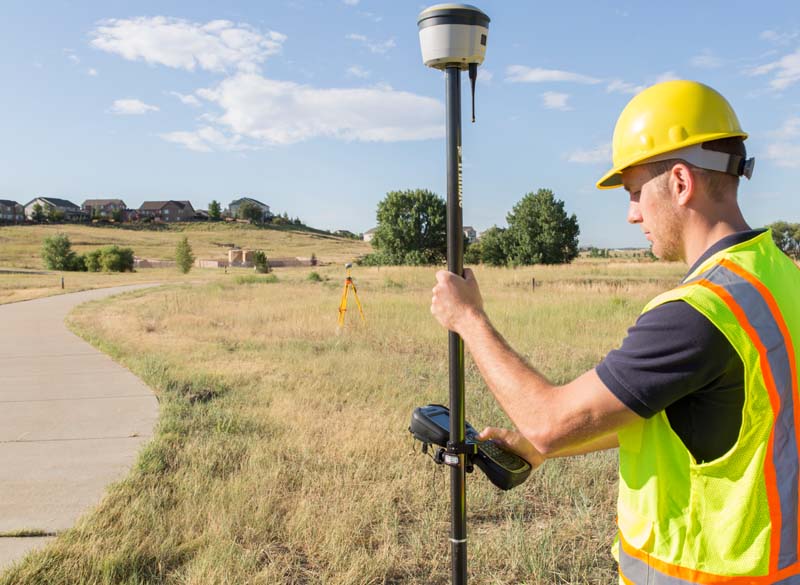
Trimble
The world leading field software for professional surveyors.
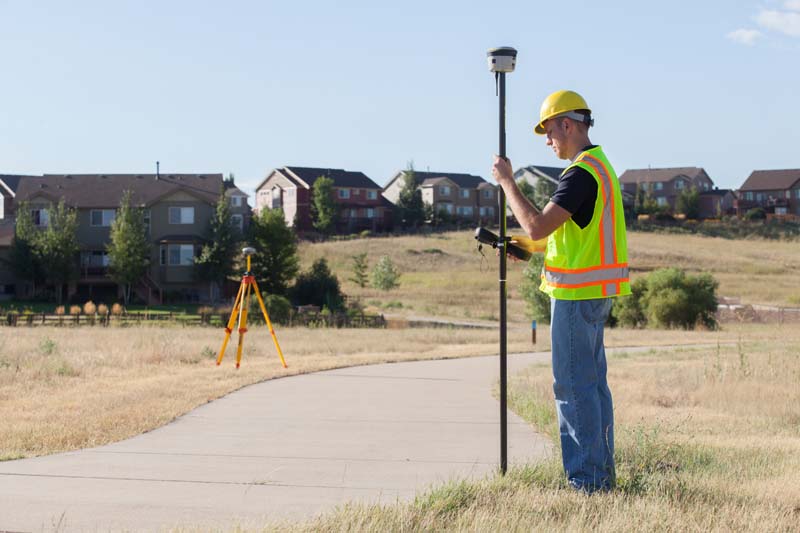
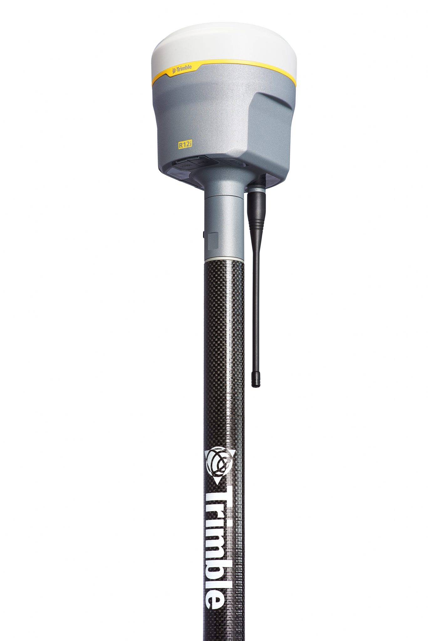
Trimble
Unmatched GNSS Performance With Connected Workflows to Elevate Survey Productivity.
Discover how Seiler can help optimize your project. Contact us to learn more or request a demo.