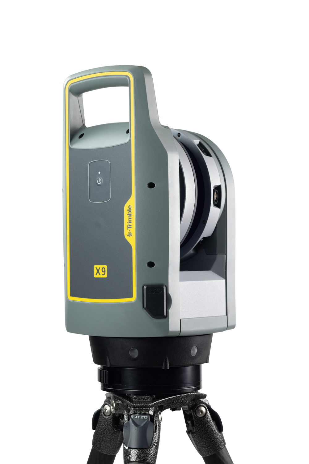
Topographic Survey

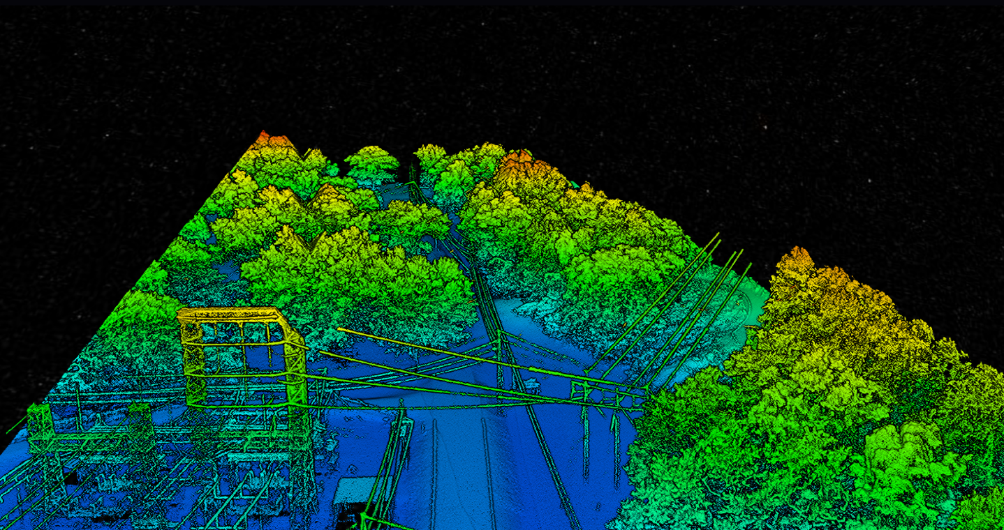
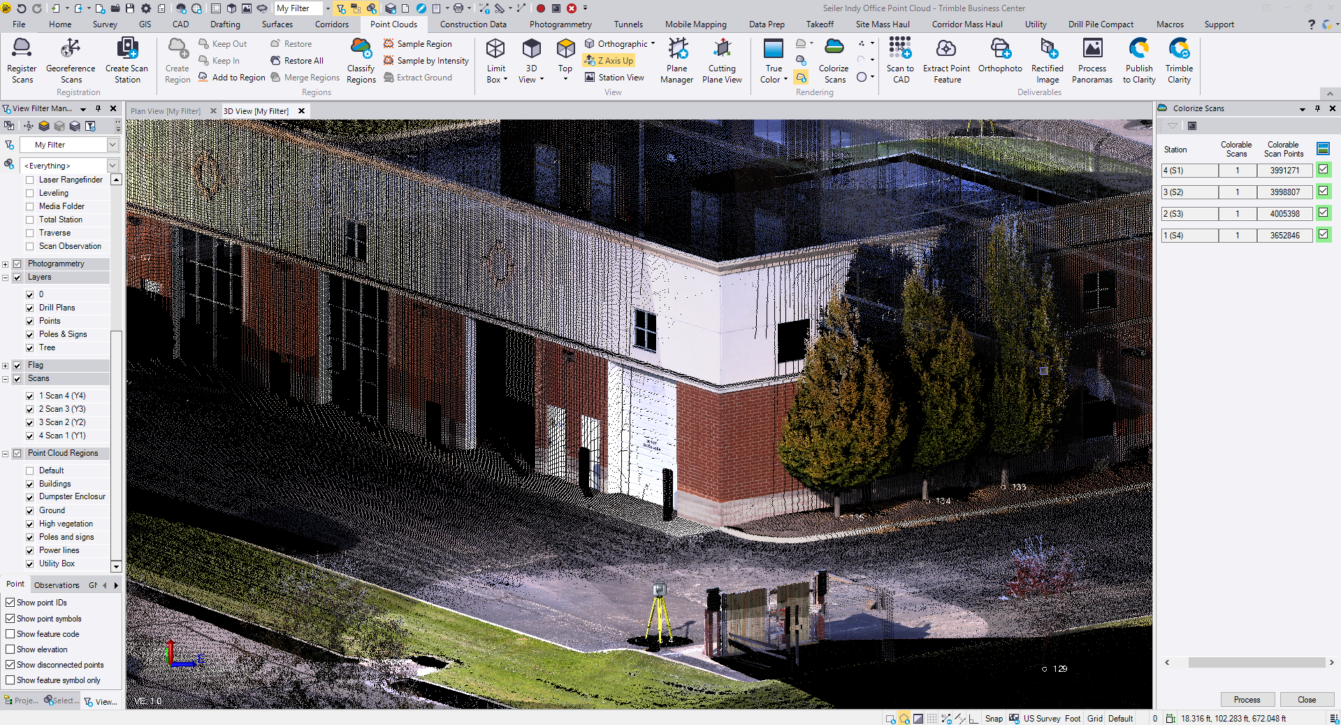
Survey with confidence using trusted workflows. Seiler Geospatial provides solutions that streamline topographic data collection, allowing seamless integration into CAD and GIS software. No matter your workflow, our technology delivers the accuracy, efficiency, and reliability you need to get the job done right.

Accurate Data, Trusted Results

From land mapping to site planning, ensure precision in every topographic survey with reliable solutions from Seiler Geospatial.

Inform Design

Capturing precise topographic data is essential for project feasibility and detailed design. Seiler Geospatial provides solutions that help you confidently collect and deliver accurate site data, ensuring a clear understanding of what’s on, in, and around the ground for feasibility studies and conceptual design.

Large Area Mapping

See the full picture with customized solutions that fit your needs. Whether using mobile mapping, UAVs, or aerial tools, Seiler Geospatial helps you capture and process large data sets efficiently, delivering 2D CAD plans, 3D point clouds, or digital twin models—all within one seamless workflow.

Reality Capture

Seeing is believing—connect the physical and digital worlds with precision. Using laser scanning, mobile mapping, and UAVs, Seiler Geospatial helps you capture detailed survey data and create high-resolution representations of the real world, delivering point clouds, mesh models, and more to exceed expectations.

Topographic Survey Solutions

Seiler Geospatial provides advanced hardware and software designed for topographic surveying, delivering fast, accurate, and reliable land measurements to support your projects with confidence.
X9

X9

Trimble

Offering the range, accuracy, scan times and sensitivity you need to do more, better, and faster.
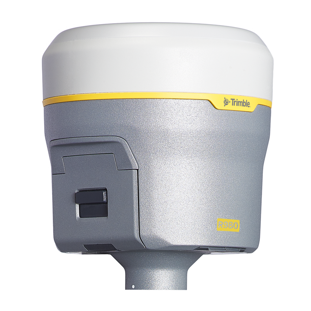
Please contact us to learn more about related product solutions.

Get Started Today

Discover how Seiler can help optimize your project. Contact us to learn more or request a demo.