
Trimble
Field-to-finish survey CAD Software.
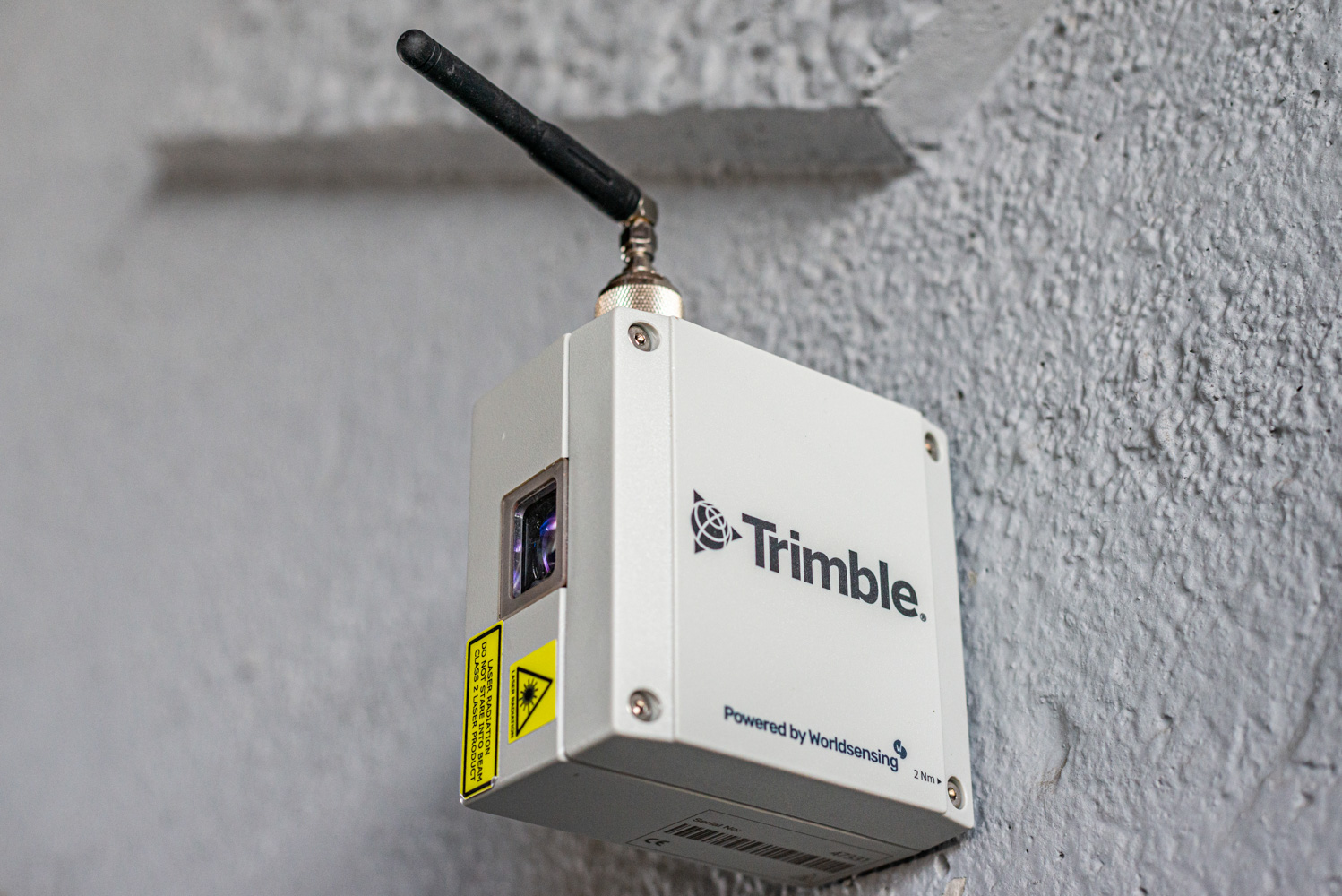
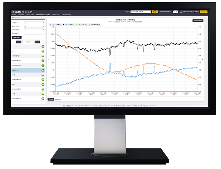
Automated, continuous, and reliable 24/7. Seiler Geospatial provides advanced monitoring solutions that deliver real-time data, enhance site safety, and detect movement with confidence.


Trimble
Field-to-finish survey CAD Software.
Trimble
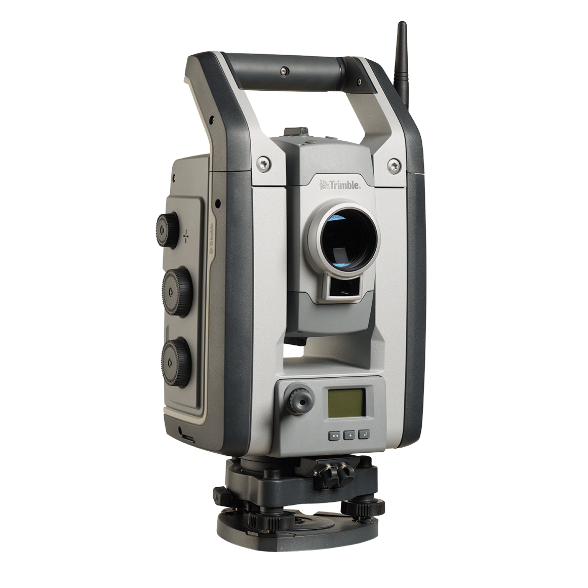
Built for specialized applications that require speed, accuracy and reliability.
Trimble
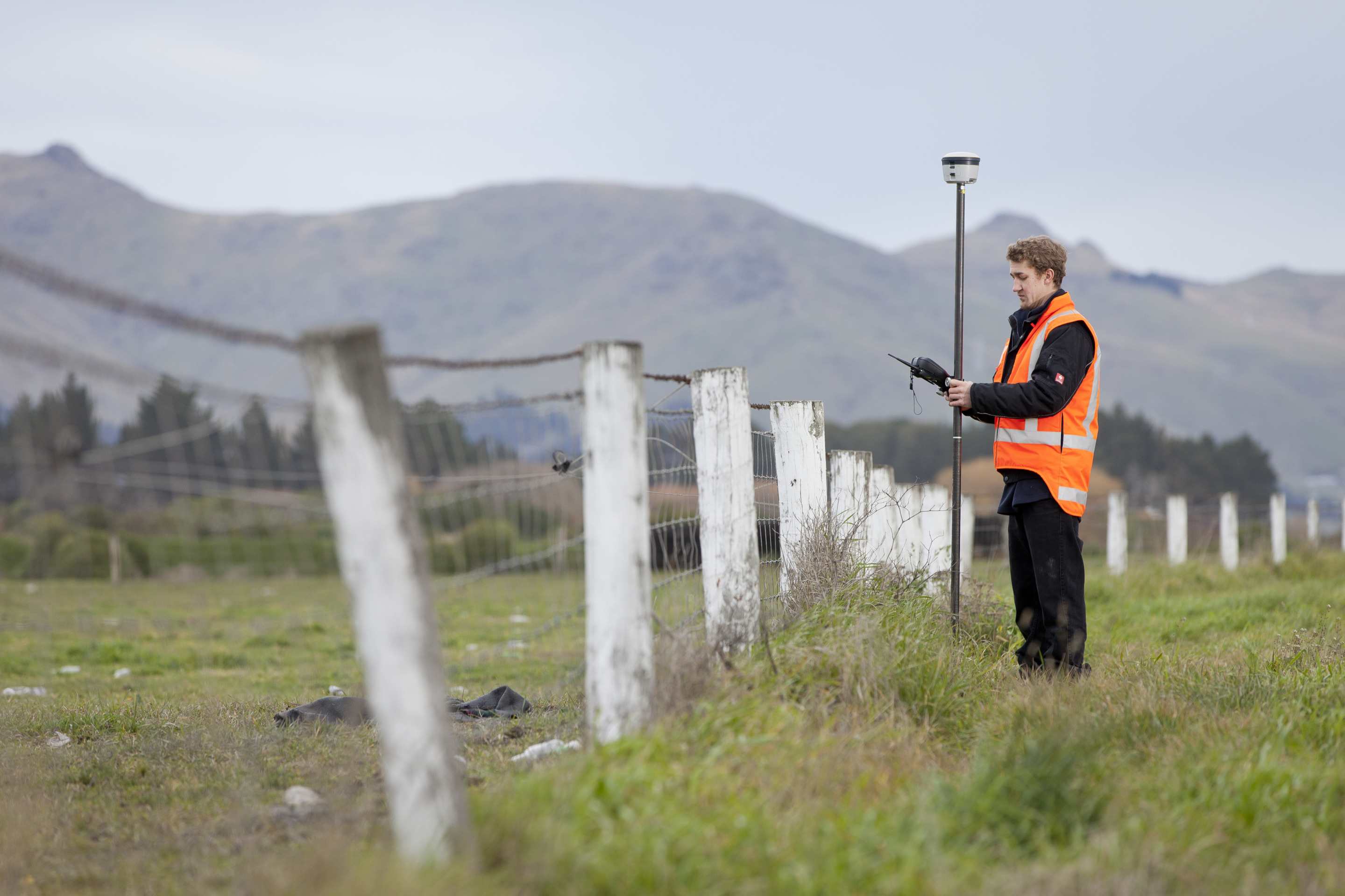
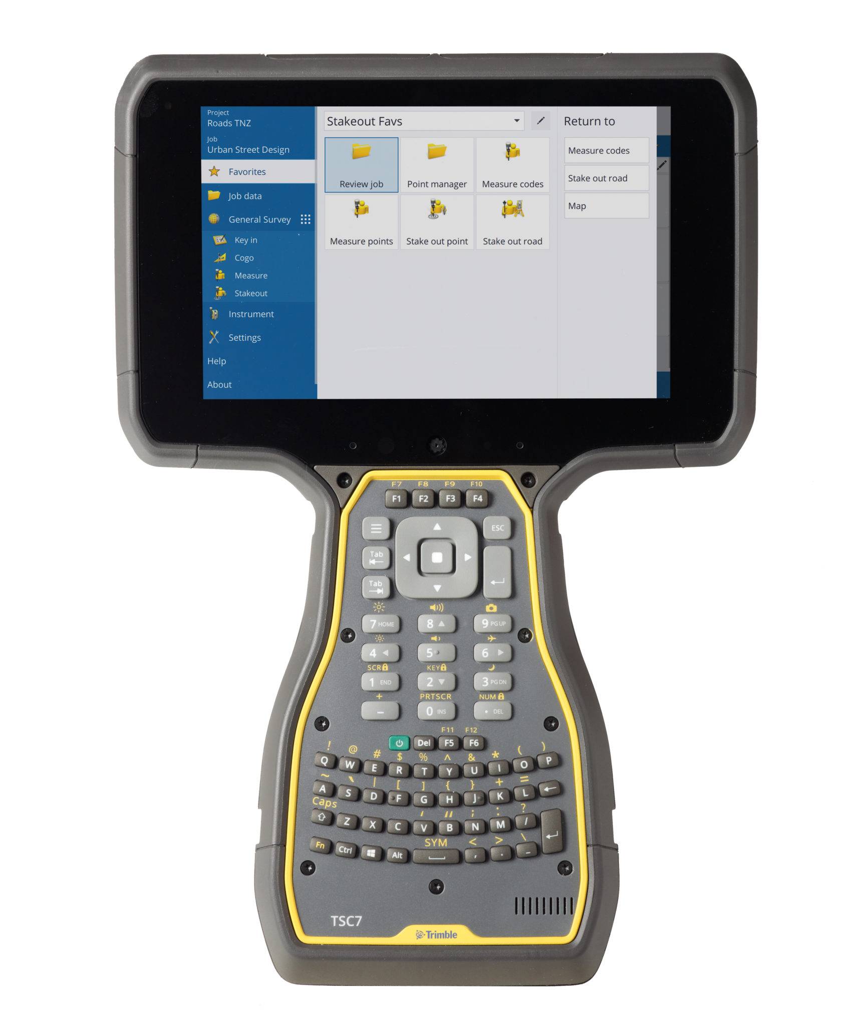
The world leading field software for professional surveyors.
Trimble
Unlock the full potential of your geospatial monitoring data.
Discover how Seiler can help optimize your project. Contact us to learn more or request a demo.