Trimble
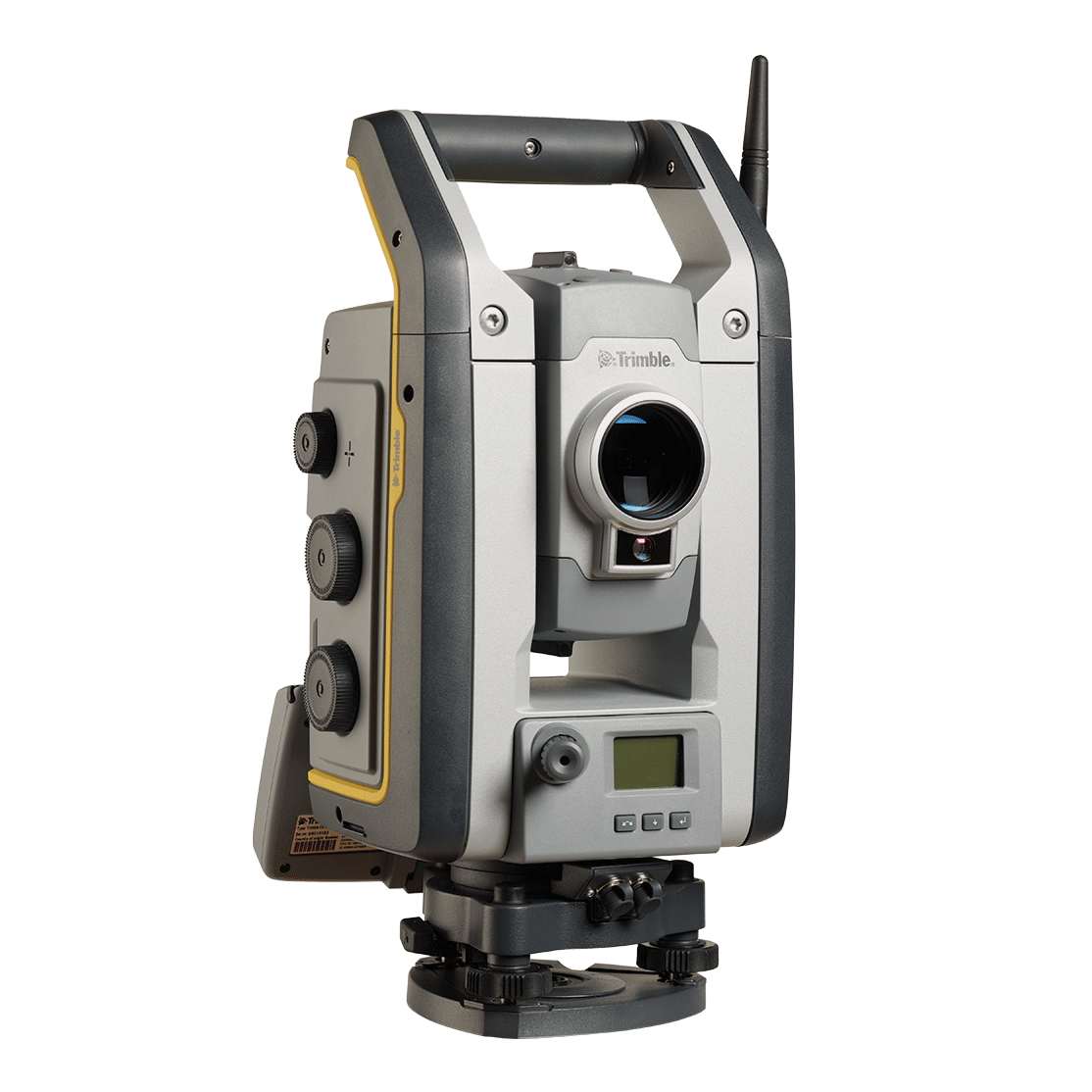
As a feature-rich robotic total station with an included radio.
Equipment That Works as Hard as You Do! Stakeout requires precision and speed, and Seiler Geospatial provides the reliable tools you need to get the job done. Built for accuracy and efficiency, our solutions are as field-ready as you are.


Trimble
As a feature-rich robotic total station with an included radio.
Trimble
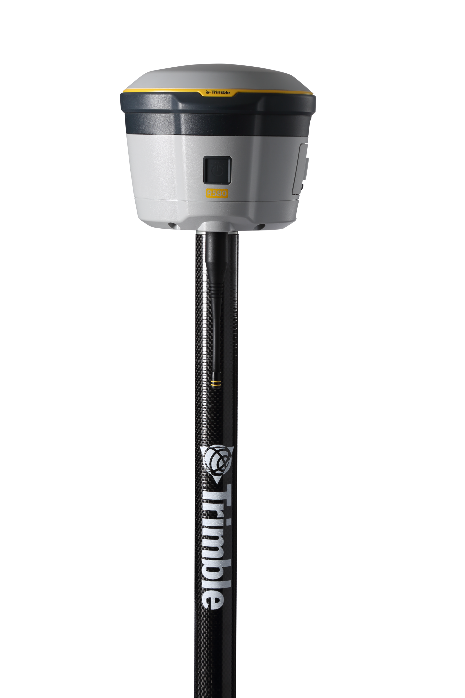
Proven, reliable positioning with industry-leading technology.
Trimble
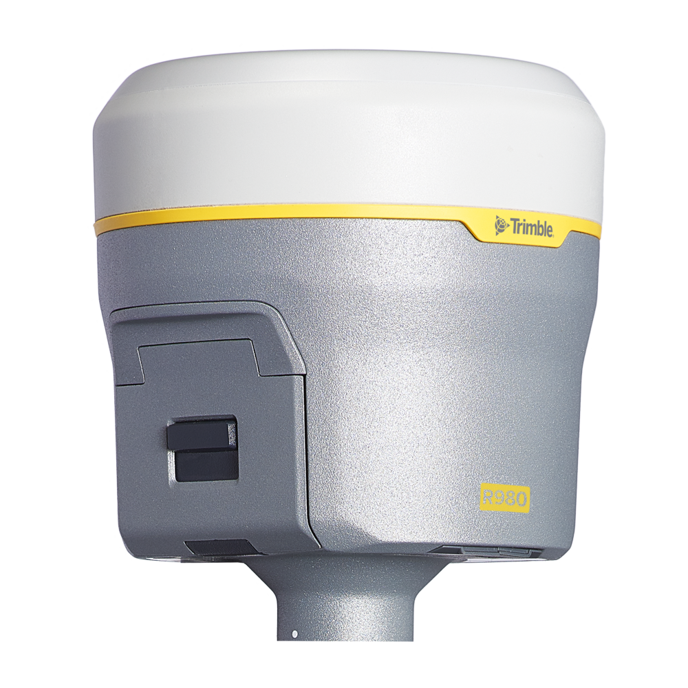
Unmatched GNSS Performance With Connected Workflows to Elevate Survey Productivity.
Discover how Seiler can help optimize your project. Contact us to learn more or request a demo.