Ever wonder where you could find information on NGS control points in your work area. A description of the location, quality and coordinate system will be provided in the Data Sheet.
You can then set your GPS unit up on one of these control points and then log positions to get a good average:
- You could take several shots and log for different durations: 30 positions, 60, 90, 120 positions (at a 1 second interval) – you get the idea.
- Then you can compare the Lat/Long via Real-Time Correction in the field or if you are using Differential Correction (post processing) against a local base station to obtain your accuracy of your receiver.
- Best practice is to use an External Antenna connected to your GPS receiver while attached to a survey rod. That way the antenna is above your head. Some handheld GPS units have monopoles that could be used too but that may only bring the GPS unit up to around 4.5 feet.
- If checking for Vertical accuracy be sure to use and External Antenna and the appropriate Geoid Model that is listed in the Control Point Data Sheet. Then use that same Geoid Model in the GPS field software and or office software too.
Some people even make way points in their GPS software and then navigate out to these control points using Real-Time Corrections. Others just collect the data and then compare it back in the office with their GIS or Survey software. These control points can be created by a variety of agencies such as: USGS, State DOT, State DNR, Army Corp of Engineers or even Coast Guard.
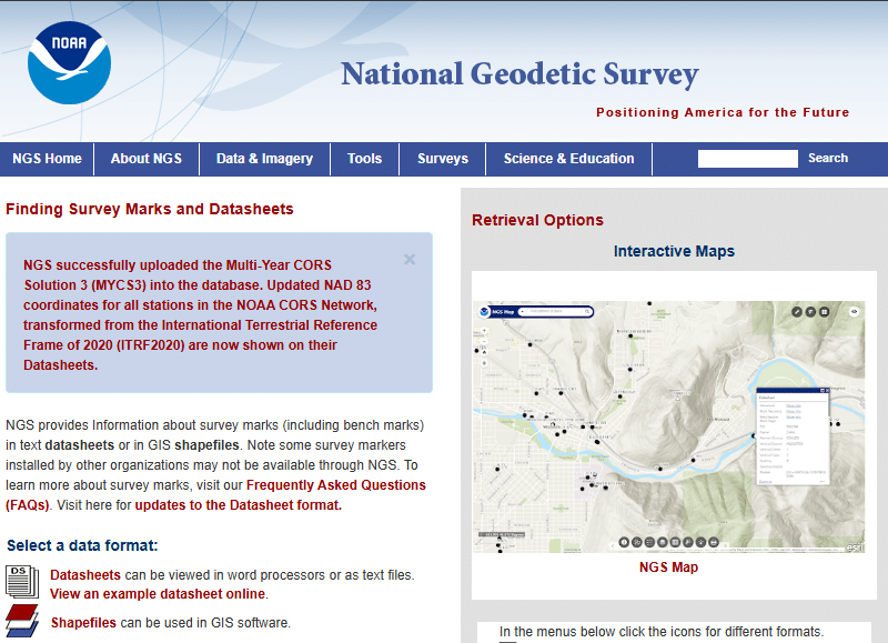
Below are a few examples on how to find these:
- NGS Web Map
- Some states even have their own websites: State Cartographers office, DNR etc.
**If your state has a similar website please share with us in the Comments sections at the bottom of this blog post.